Farewell, North Channel, Until We Meet Again…

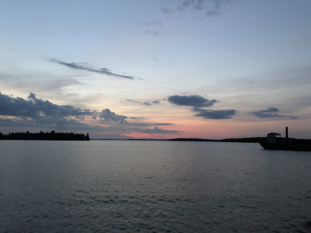
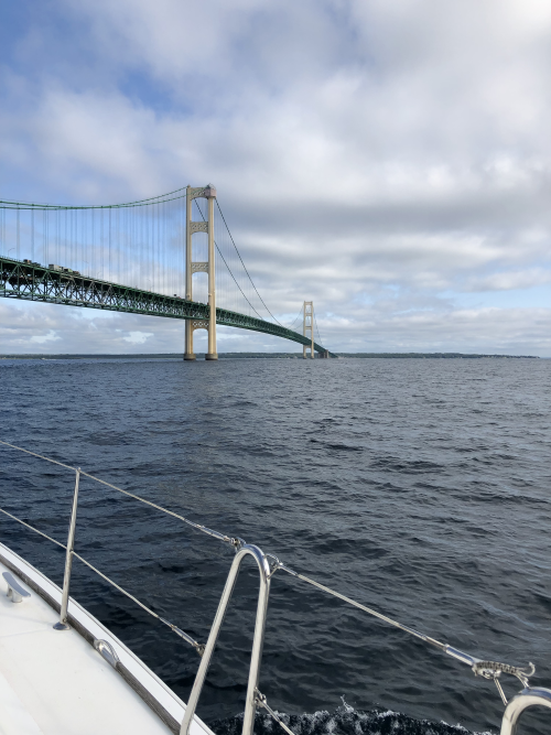
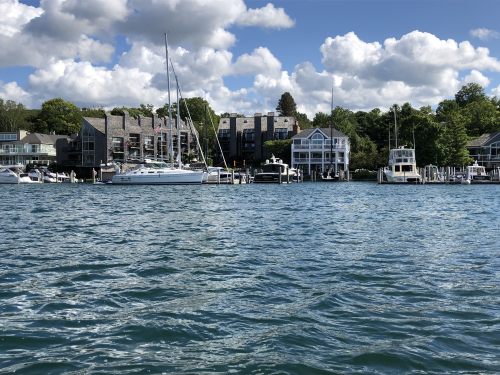
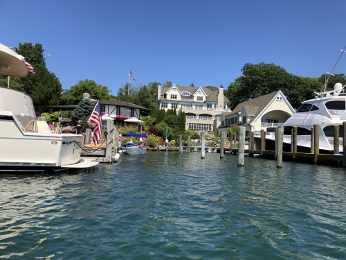
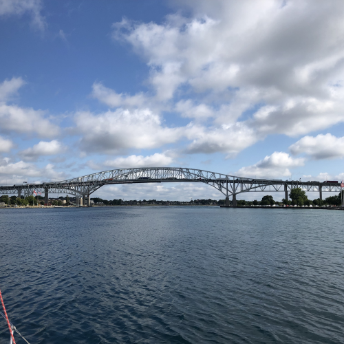
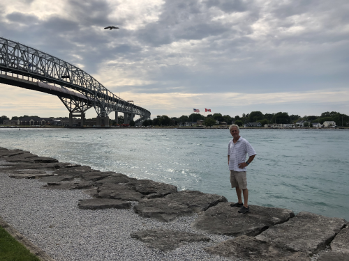
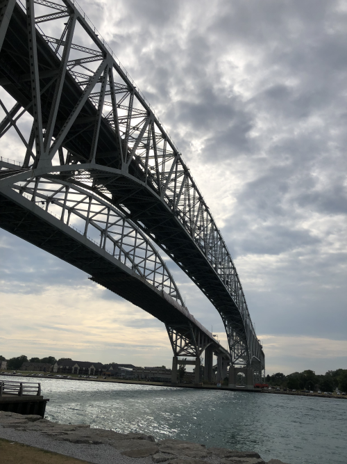
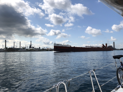
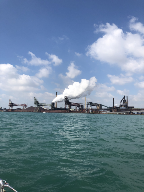
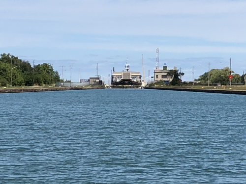
Today we embark on the next Chapter: Michigan.  As I write, we are underway to today’s destination, Drummond Island.  While technically still the North Channel, Drummond is the first American island in the North Channel, with Mackinaw and Lake Michigan to the west.  Here we will check into a marina to clear customs.  Clearing customs when crossing the border by boat is a little different than doing so on land or at airports.  The easiest is using the Nexus pass – you simply make a phone call to US Customs & Border Security when you are about 1 hour away from port, answer a few questions about your boat and destination plus the standard stuff about what you are declaring, get a confirmation number and you’re done….if they want to inspect your vessel, they will be waiting for you at the dock. In summers past we’ve crossed Lake Ontario several times and checked into both USA and Canada using this process – easy peasy.  However, Allen’s Nexus expired a few days ago on his birthday, and despite his renewing it online before we left, the new card has not arrived due (backlogged due to the partial US government shut-down), so we have to use the alternative method – the ROAM program.

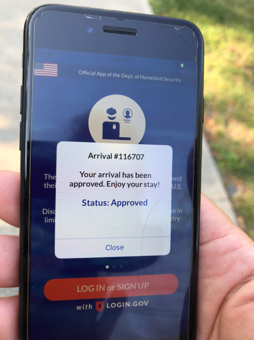
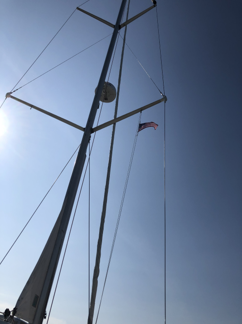
ROAM is a new program for crossing the border by boat.  You simply use the app to enter your boat and passenger info, answer 3 questions (do you have commercial material, do you have $10K+ in cash, do you have food) and wait for someone to process it.  If they have any questions, you get a video chat with an officer.  Since we are arriving in our home, we answer no to the first two, and yes to the food question.  Today the process took about a half hour, no hassles and we’re in!  Now we can raise our US flag on the starboard flag halyard, as per flag etiquette.  Flag etiquette is taken very seriously and can be rather complicated and differs for sail and power boats.  Basically, as a Canadian sailboat, we fly our Canadian flag on the stern at all times and when visiting a foreign country, we fly its flag in a place of honor, at the second spreader, starboard side.    

The US flag, hoisted after clearing Customs.
Map of the North Channel

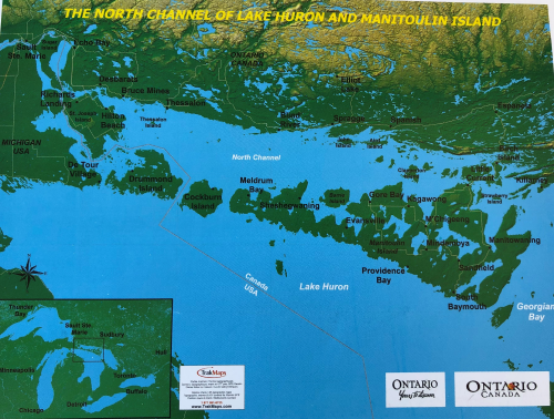
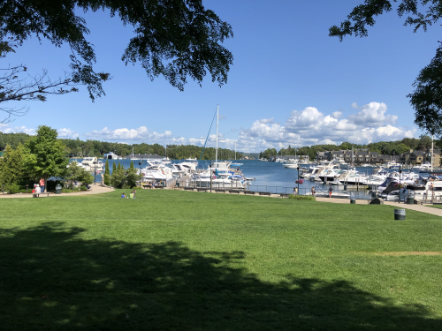
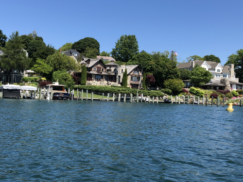
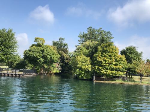
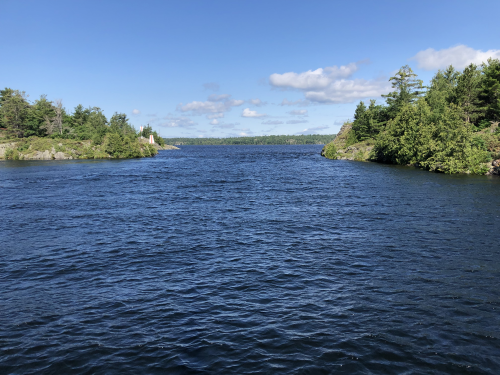
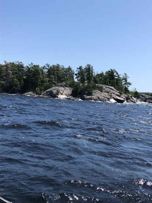
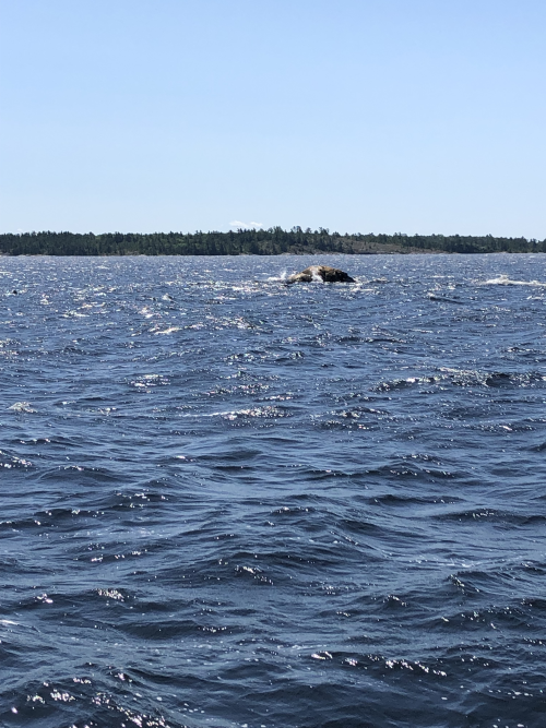
Our last week in the North Channel was much the same as the others – beautiful and peaceful.  We returned to the Benjamin Islands for one more night, picked more wild blueberries, but found the spot a bit too crowded.  It’s a popular destination and I counted 18 boats in our bay.  Next was Hothom Island, with a very protected bay to ride out some thunderstorms and celebrate Allen’s birthday, then Beardrop Bay, with uncomfortably high winds, gusts up to 25 knots, that would make a less seasoned sailor a bit green.  Then a night anchored in Gore Bay, a town with all the essential services (groceries, hardware store, and restaurants) and a special treat – community theatre.  We enjoyed the closing night production of “This is How We Got Here” by Keith Barker, an award-winning play.  Last night we had a quiet anchorage in Vidal Bay.

Channel to the east of Little Detroit
Rocks at Beardrop

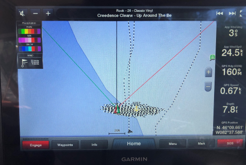
An image of the chart plotter showing Meshuggana swing at anchor for 6 hours of 25 knot winds.

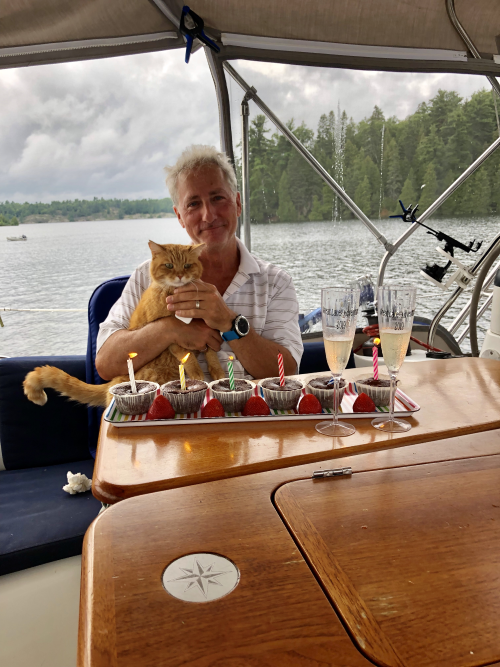
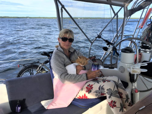
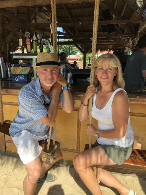
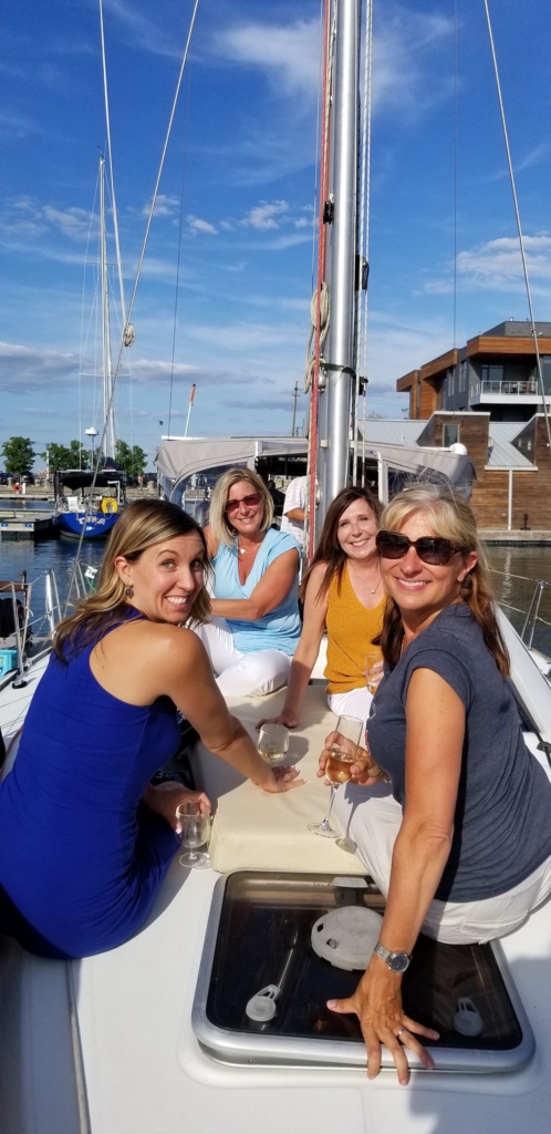
Birthday Boys! Allen’s on July 29 & Cat Stevens’ on July 21

Today also marks the 10th week of our Great Lakes Adventure (11th of living on the boat) and in less than two weeks we will turn around and begin our journey home.  Sometimes it’s hard to believe that it’s been almost 3 months since I moved out of my house and into 400 sq feet with no set address.  I’ve almost forgotten my life on land, but admit there are times I long for it.  However, as I’ve said before, we really aren’t roughing it.  These are some of my observations from the last 10 weeks:

  • Electricity.  Most of the time we live off the grid and harness the sun’s power with 5 solar panels that can generate up 800 watts. The power is stored in 6 batteries, 4 for the house, 1 for the engine and 1 for the bow thruster.  On a sunny day the batteries are fully charged well before noon and we are spilling energy the rest of the day.  If we were to have a string of cloudy days, we could run our engine to charge the batteries, or the generator, though this has not been necessary as we have been incredibly blessed with good weather.  So, where do we use electricity?
    • Refrigerator and deep freezer – our biggest electrical draw. While not as big as my fridge in the house, we easily have enough room for about 2 weeks of food, and we can make ice too!
    • Navigational instruments – GPS, radar, sonar, auto-helm.  Without these we’d be in big trouble.
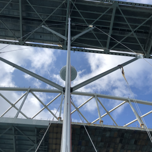
    • Lighting – as the days are still long, we don’t use much artificial lighting, but we do have plenty of LED ceiling lights throughout the boat.  At dusk we turn on our anchor light, a light at the very top of our mast, to indicate our presence and the fact that we are anchored, to any other vessel that may enter the area after dark.  Not only is it important for safety, it’s also the law. 
    • The heads and water pumps – we have 2 washrooms with electric flush toilets as well as hot & cold running water in 3 sinks (one per washroom and one in the galley).  The water is heated by the engie when motoring and the tank holds enough water for a couple brief showers and washing dishes for about 2 days. 
    • Phone chargers, fans, microwave, TV, the Dyson, electric toothbrush etc – thanks to the solar panels, we have enough power for all of these conveniences
    • About once every 7-10 days we dock at a marina, mainly to buy provisions, do laundry and get wifi, but we also plug into their electricity.  When “plugged-in”, we can also run our air-conditioning (or heat) – we have 2 AC units, one for the main salon and another for our bedroom.
  • Internet/data – it’s REALLY easy to chew it up and it’s really expensive!  Canada is one of the most expensive countries in the world when it comes to cell/data plans. We’re always on the lookout for free wifi. We love to linger in coffee shops, restaurants or even the public library.
  • Water – we have to be careful with fresh water consumption.  While in the Great Lakes this is not a huge problem as we can pull into any marina and fill-up with no hassle and no cost. However, in off-shore and saltwater environments, fresh water is not always available and it is not free.  Most boaters invest in a water maker when sailing in saltwater.  One thing I miss about living on land is taking long, luxurious showers with seemingly unlimited hot water.  While we can shower on the boat, we use just enough water to suds-up and rinse-off.
  • Laundry/Clothing – if it’s dry and doesn’t stink too bad, it’s fair game.  Laundry is a luxury. Enough said.
  • Food – as I mentioned above, we have great capacity in our fridge, as well as other dry storage.  We do not go hungry; however, our biggest challenge has been fresh produce. Only a few of these northern towns have grocery stores, and those stores are often picked over and very expensive. The problem is they are at the very end of the delivery route and by the time the trucks leave the Toronto food terminals and make their journey north, stopping along the way at every other small town, only the dregs are left, plus a hefty transportation cost.  I was hoping to buy our produce at farmer’s markets, but so far they have been disappointing, with very little or no produce and bigger focus on items like jams, honey and crafts.
One of our favorite boats – Hogsbreath
Gore Bay Lighthouse
More rocks awash

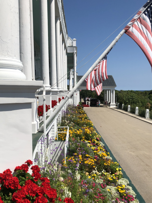
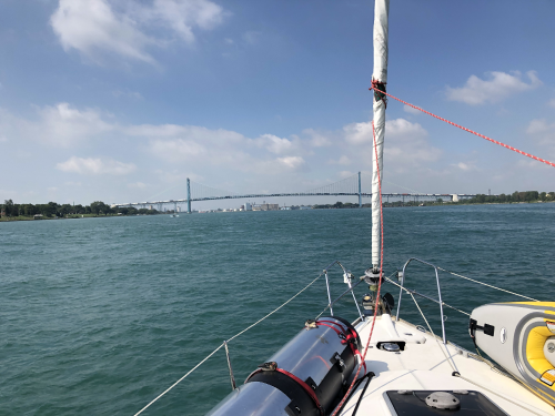
So, this wraps up the North Channel – onward to Lake Michigan!

Chapter 4 – Lake Huron & Michigan

Last week we started the American part of our journey on Drummond Island.  Drummond is actually still in the North Channel and it is it the only US island in the North Channel.  We had a short stop-over in Drummond, just to check-in with US Customs and do laundry.

Sunset from Drummond Island

About an hour from after leaving Drummond Island, we officially crossed into Lake Huron.  Despite being a Great Lakes girl, I’ve never given Lake Huron much thought. I’ve lived my whole life on the Great Lakes, growing up in Cleveland and Lake Erie, then Toronto and Lake Ontario.  Lake Michigan is also dear to me, I have many happy memories of summer days spent on its sandy shores.  I don’t know if I’ve ever been to Lake Superior; however, Gitche Gumme (as it’s called in Objibwe) is a lake of legends, just its daunting size and deep cold water (also thanks to Gordon Lightfoot).  We thought about dipping our bow into this great lake, just go in and turn around, just to touch all 5 lakes, but from the beginning we knew the logistics did not work, we would not have enough time as summers are short in the North.  And then Lake Huron, a lake I’ve never given much thought to before. As we were planning this trip, I thought of Lake Huron as a conduit to where were going, nothing special, just a highway we needed to travel to get to where we wanted to go.  But all that has changed.

Lighthouse in Lake Huron

Upon entering Huron we immediately noticed the clear, blue water, actually deep shade of turquoise, even in the commercial shipping channel, in well over 100 feet of water. As we docked at the Mackinac Island Marina we could see right to the bottom as clearly as if it were a swimming pool.  The water wasn’t just clear, it was turquoise. The entire island is surrounded by this clear, turquoise water – we felt like we had traveled to tropics!

Mackinac Island (pronounced ma-KI-naw), measuring just 8.2 miles circumference, is home to a fewer than 500 permanent residents,  several thousand seasonal workers and is a well-known tourist destination, drawing millions of visitors every year to enjoy biking and hiking through the natural beauty of the islands rocks, swimming the blue waters…and fudge. Yes, the island is famous for fudge.  The main street is packed with typical tourist shops selling t-shirts and trinkets, restaurants and fudge and candy shops – they are everywhere! The fudge is made right there in the shops, in the front window. Tourists smash their faces against the shop windows to marvel at the huge copper kettles where the sweet concoction cooks before it is poured onto a giant marble slab where it is continuously mixed with a wooden paddle.  Once the right consistency, the fudge rests on the marble to cool before it is cut into slices and sold.  When walking down Main Street you notice three unusual things: 1) the air is permeated with the aroma of chocolate and sugar; 2) there are a million bicycles; 3) underling the scent of chocolate and sugar, there is the strong bouquet of poop – and there are horses everywhere. And you really have to watch where you step – easy to get hit by a bike, a horse or need to wash your shoes.

Sugarloaf Rock behind me
Carriage in front of the Grand Hotel
Grand Hotel

There are no motorized vehicles on the island; they were prohibited in 1898 and the ban continues through today. There are taxis, and they are horse drawn carriages.  There are hotel shuttles, and they are horse drawn carriages.  There are city garbage trucks, and you guessed it, also horse drawn carriages (we were told there are a few emergency motorized vehicles, ambulance & fire truck; however, they are kept somewhere well out of sight). There is a road around the perimeter of the island, state highway M-185, the only highway in the United States that does not allow motorized vehicles. 

Biking on Mackinac Island

This was my third trip to Mackinac Island and Allen’s first.  My first trip was as a very young child, on a family vacation and all I remember is buying saltwater taffy.  The second time was with Latvian Girl Guides, a side trip during two-week long scouting jamboree in Northern Michigan, where the older groups of girls and boys were taken to the island for a special treat.  All I remember from that trip is being horrified that we had to our uniforms….”Gaida Greenies” we called them.  They are not the light cotton uniforms you see on North American Girl Scouts, oh no, they are dark green, heavy polyester, with pleated knee length skirts, knees socks, black shoes and long sleeved matching blouses, and a necktie.  They were hideous and hot, and no self-respecting 17 year old girl wants to be seen in public wearing it.  But there we were, I think about 50 of us, wearing our greenies traipsing around this giant a tourist attraction. My only other memory of that trip was trying out my fake ID in a bar and getting served a beer (while wearing my uniform!).

View from Mackinac Island – you can see the bridge in the distance
Arch Rock on Mackinac Island

The third time’s the charm – this trip will not fade from memory.  Allen and I were enchanted by Mackinac Island – we biked, we hiked, we had High Tea at the Grand Hotel…we will be back.

High Tea at the Grand Hotel
The famous bridge

Next was Mackinaw City, cross the water on the mainland (not a typo – the city is spelled with a W and the island and bridge with a C).  This was a pit stop to wait out some thunderstorms and restock the fridge.  This town is a kitschy tourist-trap with none of the charm of its famous neighbor– just a weigh-point for people using the ferries to Mackinac Island.

We were happy to get out of Mackinaw City and set out for a long motor-sail to our next destination, Harbor Springs, Michigan.  We crossed into Lake Michigan, noting the waters were still as blue and clear as ever.  An interesting factoid I learned was that Lake Michigan and Lake Huron are not two separate lakes, but are actually one huge lake.  The lakes are joined by the Straights of Mackinac, not a river, and share the same water and the currents often switch directions. Some time ago somebody goofed, gave them separate names, and it stuck.   

I could not think of a place more opposite Mackinaw City than Harbor Springs, Michigan: sophisticated, genteel, elegant, old (and new) money.  As you enter Little Traverse Bay, you can’t help gawking at the magnificent mansions lining the shore.  The meticulously maintained homes, with manicured lawns and gardens bursting with shrubs and flowers are from a different era.  Then you notice the gleaming wooden tender, shuttling inhabitants of these homes to and from town, where they have spent an afternoon on the private beach, or shopped the many boutiques or dined in the “members only” restaurant.  The bay has dozens of small sailboats being sailed by kids in sailing school. 

Garden in Harbor Springs
A home in Harbor Springs

 As we pulled into the City Docks Municipal Marina, we were greeted by friendly and capable bosuns, helping us tie-up in 20 knot winds.  Not long after we realize our 42’ sailboat is one of the smaller boats in the marina – we are surrounded by 50+ foot luxury motor boats.   We spend a delightful afternoon wandering through town, dining out, and the evening hanging out on the docks with friendly boaters.  Cat Stevens, needing to stretch his land legs, does not disappoint – he instantly draws a crowd (“is that a boat cat?!”), gets lots of tummy rubs and acquires several more Instagram followers.

We’d love to stay in Harbor Springs longer, but Lake Charlevoix is calling.  It’s hard to believe, but the end of summer is in sight, and Lake Charlevoix will be our last destination before we begin our journey home. 

Homeward Bound

It’s hard to believe this day has come, the day we turn our bow to the East and begin heading back to Toronto.  When the idea of sailing the Great Lakes first sprouted in our minds, we planned to include a quick trip through Sault St Marie and just dip the bow into Lake Superior, just to say we did; however, we soon realized that would add at least a week to our trip and conceded that 4 of the 5 Great Lakes was good enough.  Then our plan was to hug the Michigan coast, visit the summer hot spots of Holland, Saugatuck, and South Haven before making the jump over to Chicago and eventually make our return journey along the Wisconsin coast.   I now laugh at our naivety.  We began this journey 12 weeks ago and to have reached all these ports, we would have needed an additional 12 weeks.  Unfortunately, there just is not enough summer in this part of the world.

But our journey if far from over.  We still have a small corner of Lake Michigan, most of Lake Huron, all of Lake Erie and a significant chunk of Lake Ontario, as well as the Welland Canal!  I personally am very excited about this segment, as this is home for this Great Lakes girl.

Last week we reached our furthest point of our journey, Lake Charlevoix.  WOW, WOW, WOW!  I thought Harbor Springs was impressive, but it’s like a small slice of Lake Charlevoix, the third largest lake in Michigan with 56 miles (90 km) of shoreline.   As you enter Lake Charlevoix from Lake Michigan, you can’t help but gape at the brilliant turquoise water of the channel, and as you wait for the draw bridge to open, you get a good look at the waterfront condos reminiscent of wedding cake.  Then, as you enter the lake and dodge the boat traffic reminiscent of the 401 in rush hour, you take-in the multi-million dollar mansions with their multi-million dollar yachts (yes, plural, because you can’t own just one) docked in the private marina right in front of the house.  Just mind-boggling – Muskoka has nothing on Lake Charlevoix!

Startlingly blue channel leading to Lake Charlevoix
Private marina
Drawbridge at night
Lake Charlevoix City Marina

We spent a few evenings here, one night at anchor and a couple at a yacht club that was just outside of town and a 10 minute bike ride (that took us through a members-only neighborhood) from the upscale shops and restaurants.  

We also needed to wait out a small-craft advisory as Lake Michigan was stirring up massive waves, and we couldn’t have picked a lovelier spot to spend a few days.  As the waves subsided, we headed to furthest west point of our Great Lakes Adventure – Beaver Island, Michigan.

Cottage in Charlevoix
Mansions and yachts
Cabanas on a private beach in a members-only community
in Charlevoix

From Beaver Island we began our eastward trek, through the Straights of Mackinac, under the extraordinary bridge, dodging ferries and their massive wakes, we realized this would be the only part of our entire trip were we would be retracing our steps.  Once we cleared the Straights, we began to turn south, deeper into Lake Huron.

Beaver Island is the largest island in Lake Michigan with an interesting history.  It was home to an extreme religious colony  that was actually a monarchy, ruled by a self-appointed king, “King Strang”, leader of the Strangite Mormon Church.  There were a few non-Strangites living there as well, and they often clashed as the king tried to impose his rules on everyone.  He was murdered in 1856 by a couple guys who did not like his rules (and were never convicted).  The Stranagites were eventually run off the island and then Beaver Island was later settled by Irish Americans.  Today it is a tourist destination, with less than 600 full-time inhabitants.  It has lovely beaches, but unfortunately this island has seen better days, as many of the businesses are shuttered and about half the cottages have “For Sale” signs posted. So, if you’re in the market for a lovely cottage on a peaceful island, you can probably find a great deal.

Up until a few weeks ago we were still debating on which coast to take.  Several seasoned Great Lakes sailors recommended we sail south to Rogers City, MI and then wait for a weather window to cross Huron to Tobermory, ON and continue down the Ontario coast.   Although we would have loved to visit Tobermory, this plan was a bit worrisome.  In the Great Lakes, winds and storms typically come from the west and when the wind blows across a body of water, the waves build making the furthest coast far more turbulent than the other side.  So, being on the eastern edge of Lake Huron did not sound appealing.  We kept asking questions as we met other sailors we learned of a better option: stay on the Michigan side as there are many safe ports managed by local municipalities and the Michigan Department of Natural Resources.

It appears that enormous funding has been poured into building and fixing up the municipal docks in small towns in Michigan.  All the docks are brand new, beautiful and solid, with water and power at each slip.  The building facilities are not fancy, but they are sparkling clean and each one offers bathrooms, showers, laundry, bbq’s and lovely flower gardens and yards.  What is perhaps most impressive is the staff.  Most are very young, likely students, but they are helpful, friendly and know who to handle the ropes even in less than ideal conditions.  Pricing varies from town to town, but the most we have paid is $1.50 a foot – very reasonable.  Allen and I still love the peace of an anchorage, so whenever the opportunity arises and weather cooperates, we still throw the hook, but it’s nice to know these docks are there when we need them.

 The towns we have visited are:  Cheboygan, Rogers City, Presque Isle, Harrisville and Tawas and Harbor Beach.  While the town docks have been impressive, it’s sad to see the towns themselves are suffering.  Much like Beaver Island, many shuttered businesses and homes for sale.  We try to support the local communities at each stop by visiting the few remaining shops or dining in a restaurant, but it’s sad to see the economy is suffering.  The one constant has been the lovely lighthouses. Regardless of whether they are still in use or have been decommissioned, they are beautifully maintained and dot the coastline.

Lighthouse in Harbor Beach

So you know the saying about best laid plans….

We charted our journey through Michigan, on the western edge of Lake Huron and Mother Nature pulls a fast one – she sends us easterlies with 15-20 knot winds and 3+ foot swells.  They started when we were in Rogers City, the place we would have jumped across to the Canadian side had we followed the original plan.  However, when the winds and waves came, that was no longer an option.  During the past week we bumped along the Michigan coast, and although we were not in danger, it was a very uncomfortable trip.  Any unsecured items went flying, walking was difficult, and while I normally don’t suffer from sea-sickness, the waves got to me and poor Cat Stevens, who lost his breakfast more than once.  The winds finally changed on our last day before returning to Canada, 8 hours of 15 knots wind, beam reach, calm seas and sunny skies. Even Cat Stevens approved.

Cat Stevens needed some comfort during rough seas


Chapter 5 – Farewell Lake Huron, Hello St Clair and Detroit

Our arrival at the Sarnia Yacht Club on August 17 marked the end of Lake Huron and the beginning of the waterways linking the Lakes of Huron and Erie: St Clair River, Lake St. Clair and the Detroit River. The water color gradually changed as we traveled south along the Michigan coast – it’s went from turquoise in the north to a greener shade, more of an aqua color.  We finally caught a favorable weather window with strong 15-20 knot westerlies that filled the sails without the waves, so we made the full run to Sarnia instead of stopping halfway.  It was a long day of sunny skies, calm seas and fast sailing – it doesn’t get much better than that!

Approaching Blue Water Bridge from Lake Huron

Arriving in Sarnia meant another Customs/Border check-in as we were returning to Canada.  This time it was a phone call to CANPASS, and in about 10 minutes we were done.  Sarnia Yacht Club is a large club with very tight quarters.  No finger docks here, all were small V docks, with concrete piles between each slip (called “wells” here).  We squeezed in, nice and snug, tapping fenders with the neighbors on both sides.  Sarnia YC is the first dockage coming in from Lake Huron (the reason we chose it) and is in a primarily residential area with a lovely riverside park with walking and biking trails that stretch along the St Clair River, going well into downtown.  I’ve driven through Sarnia many times on my way to Michigan and have never been interested in seeing more based what can be seen from the 401 and bridge; however, I have now experienced another side of this city and am impressed – it is a pretty city with breathtaking views of Lake Huron and the St Clair River.

Allen by the St Clair RIver

The Sarnia YC members were incredibly friendly, helping us dock and offering advice on local restaurants and offers of giving a lift to stores that were not so close by.  An added bonus was bumping into our new friends we had met in the North Channel and sharing sundowners in our cockpit well after the sun had already set.  After two peaceful nights tucked into the Sarnia bay, even with HUGE thunderstorms rolling though, it was time to continue south. 

Sarnia YC with Blue Water Bridge in background
Under the Blue Water Bridge

Almost immediately after exiting the club, we passed under the Blue Water Bridge.  I’ve driven over this bridge many times and it always looks so big, but funny how perspective changes when you are staring up at a bridge while standing next to your mast and for a couple seconds you think “oh geez, I hope we don’t hit the bridge!” But that was never really a concern – the bottom of the bridge is 152 feet above the water and we only need 64 feet. 

Yikes! Looks like we may not make it! But we did, with about 90 feet to spare.

The current!  One factor in planning this trip was the southbound current of the St Clair and Detroit Rivers (we were not keen about fighting the 4 knot current, thus putting another check in the Trent Severn route).  However, when travelling downstream, the current is your friend.  Despite beginning this journey on a day with strong wind on the nose, we were moving under motor at 9 knots over ground, a record for Meshuggana.  As we motored downstream, we passed enormous oil and chemical plants in Sarnia and Port Huron, magnificent homes and cottages and shared the river with huge ocean-going freighters on their way further into the Great Lakes.  There were also many large motorboats, flying through the river, kicking up 3 foot wakes.  This was frustrating, as not only did it make our travel uncomfortable by rocking the boat and sending things flying, but there are signs everywhere asking for no wake due to continued high water levels and flooding on shore.  Many of the homes were sandbagged and their docks were under water. 

Sharing the waterways
Freighter on the St Clair RIver

After a few hours of the St Clair River, we arrived in Lake St Clair.  The lake is a brilliant aqua color, shallow and teaming with boat traffic.  Safe navigation routes are clearly marked with buoys and you don’t dare move off the channel, as there are also many other markers showing reefs and rocks.  Like in Charlevoix, the shoreline is dotted with mansions and summer homes so big and opulent that your jaw drops – who could possible live there?? 

St Clair River homes

We made our way to the southern end of the lake and docked at the mouth of the Detroit River, in Grosse Point Windmill Park Marina, inside a large public park.  One of my oldest, dearest friends, Anita and her family live in the area and we took this opportunity to visit for a couple days and enjoy their company as well as marvel at the Grosse Pointe community.  There are 5 Grosse Pointes, suburbs of Detroit, that began as farming communities and became the summer resort hotspot for Detroit’s wealthy and the in the early 1900’s auto executives started building their mansions here.  These towns remain segregated from Detroit today, in some places with physical barriers blocking street access.  A canal runs along the boundary, and it is shocking to see the stark delineation from old patrician homes and a stone’s throw away, old clapboard houses, some of them burned and boarded-up; however, it’s good to see in recent years there has been great effort and investment in cleaning up the Detroit side of the canal.

Welcome to the USA – entire process done on-line.
The canal seperating the Haves and Have Nots

We continued downstream on the Detroit River through the cities of Detroit and Windsor, ON.  The north end of the city has modern skyscrapers, museums, old monuments, an amphitheaters and lush parks.  As we crossed under the Ambassador Bridge (this one really does look big from the water), the engine of Detroit’s economy was revealed – the auto and steel factories, belching out smoke (or steam?), gas flares blazing…you can almost smell them before you see them.  We saw Detroit as a city of extremes: poverty and wealthy; rust-belt industry and classic charm.

Ambassador Bridge
Detroit – GM Building
Office buildings in Detroit
The other side of Detroit

Our last stop in Michigan was the Grosse Isle Yacht Club, a lovely little club on an island at the top of Lake Erie.  We had a nice dinner with a gorgeous view, a good night’s sleep, and then on to my home – Lake Erie. 

Allen at Grosse Isle YC
Beginning of our Lake Erie adventure

Chapter 5 – Lake Erie, the Welland Canal and Home

As I write this final chapter, I have been home for a little more than one hectic, busy week. I use the word “home” lightly, as we still have no set address and continue to live a nomadic life.  We remained on the boat for several days before driving to Cleveland to say my final farewell to my beloved Godmother and having some more family time with dad and my siblings. Now back in Toronto, we are unpacking the boat and bit by bit, moving into Allen’s daughter’s lovely new home in Thornhill, with a spacious in-law suite, that will be home until December.  It will be nice to have some family time, especially with little Tommy, Allen’s adorable 1 year old grandson.  And we’re busy preparing for our next adventure, Italy and Croatia, but now I am getting ahead of myself. 

Lake Erie – I was excited to sail Lake Erie because I grew up on this lake, but it made us a little nervous.  As the shallowest of the Great Lakes, it is notorious for whipping up waves and turbulent waters.  Accustomed to depths measuring in the hundreds of feet, it was a little disconcerting to see 35 feet below our keel in the middle of the lake.  The water’s color was now a deep jade, and it had the distinct scent of lake.

Put In Bay mooring ball field

Our first port was the famous Put In Bay, Ohio, known for its restaurants, bars and party atmosphere.  It did not disappoint.  The docks in town are too shallow for sailboats, but the bay offers a mooring ball field with 80 balls.  We hooked up, hailed the complimentary water taxi, and in just minutes disembarked on the island.  The first thing we noticed was the golf carts, it looked like 100s of golf carts, they were everywhere, some private, but most were rentals.  There were some cars and bicycles, but golf carts rule here. We meandered the main streets with beach themed bars serving overpriced drinks, beach themed gift shops and the requisite t-shirt vendors and on our second day explored the island on our bikes, visited the monument honoring peace between the US and Canada and took in some of the natural beauty that the bachelor/bachelorette revelers likely miss. We enjoyed Put in Bay for the most part, but despite securing a mooring ball, the rocking and rolling of the waves took a toll on our sleep.  We moved to nearby Middle Bass Island, threw the anchor and enjoyed a more peaceful night before heading to my hometown, Cleveland.

Swinging bar seats in Put In Bay

The forecast was not good, not good at all.  A long 10-hour day of wind on the nose and a lot more rolling waves.  We rose with the sun and got going as we had to get to Cleveland by mid afternoon.  Allen and I are fortunate that we don’t get sea sick easily, and even this trip made us feel a little uncomfortable, but poor Cat Stevens lost his breakfast more than once.   It was like being on a long, nauseating carnival ride and not being able to get off for 10 hours. Fortunately things calmed down as we neared the west side of Cleveland and I was able to sit on the bow, taking in many familiar sites, recalling many memories as we passed Rocky River, Lakewood Park, Edgewater Park, and finally, The Flats, where many evenings of my university years were spent.   Soon we came upon the Browns Stadium and pulled into Rock & Dock, the marina directly behind the Rock & Roll Hall of Fame, in the heart of Cleveland.  It was so cool to be home!

Sunrise on Middle Bass Island, near Put In Bay
Cleveland skyline
The Flats
First Energy – Browns Stadium
No explanation needed

What made this stop extra special was my friends and family that joined us for the evening.  It was a magical warm, summer evening, with views of the R&R Hall of Fame, Cleveland Stadium and skyline right behind us.  We spent two more nights on the east side of Cleveland, closer to my dad’s home, but we had to move, and fast, to make the Welland Canal on Saturday, despite unfavorable forecasts of strong wind and big waves.

View from the boat, the back of R&R Hall of Fame

 As I mentioned before, Lake Erie can have massive waves making travel less than ideal.  It also has very few safe harbors.  We’ve become accustomed to Lake Ontario, where we are rarely far from a marina or anchorage to take refuge when needed; however, most Lake Erie marinas can take only small to mid-sized power boats and they are several hours apart, making it impossible to run for cover or take a break when things get rough.  With this in mind, knowing how hard these next few days would be on Cat Stevens, we decided to leave him with my dad and brother to enjoy some land time.

Sailing with Dad
Perry Nuclear Power Plant

The next two days were exactly as predicted – sunshine, blue skies and 5-6 foot waves, one after another, with the occasional rogue waves crashing over the boat.  These were long 11 hour days, so we rose with the sun, hoping to outrun the worst of the waves (the lake is typically calmer at night).  While uncomfortable, we weren’t afraid.  We knew we were safe – we have the best safety equipment, we know our boat and the captain was more than competent.  Two days later we were back in Canada, tired, but unscathed, ready to transit the incredible Welland Canal that would take us home to Lake Ontario.

The Welland is a commercial seaway designed for large commercial freighters.  Private boats are not their main customer or concern.  Up until July of this year, pleasure craft were required to sign-in, pay the fees ($200) and wait at a near-by dock until called to transit.  Some of our friends have waited over 24 hours to be called, some have been required to transit at night, most have shared the locks with massive freighters and suffered damage to their boats as the massive wakes smash them into the canal’s walls. 

Freighter under Skyway

Lucky for us, in July the Welland changed the process for pleasure craft.  They now alternate days when private boats may travel the canal: Tuesdays, Thursdays and Saturdays for downbound (Lake Erie to Lake Ontario) and Mondays, Wednesdays, Fridays and Sundays for upbound.  We called-in the night before the transit, paid the fee on-line and were instructed to be at the first lock (Lock #8) by 9:00 am the next day.  We were also informed that there were 3 other pleasure craft transiting with us, and no freighters. 

The top of this massive barge is seen coming up in the lock
And there’s the barge

The rest was simple.  Saturday morning at 9am we were joined by two large power boats and a smaller sailboat and easily cruised into the first lock.  After a little bit of paperwork and proof of payment we were on our way.  The rest of the locks were easy, similar to Trent system, just much bigger.  Several large upbound freighters passed us along the way, but as we did not share the lock there was no issue with wake or turbulence. As our bow splashed into Lake Ontario 8 hours later, we could vaguely make out the Toronto skyline across the lake – we were almost home. 

Under the St Catherine’s Skyway

After quick stops in Port Dalhousie and Oakville and 101 days after we began this Great Lakes Adventure, we pulled into our home port, Ashbridges Bay.  It was good to be home, but not for long…the next chapter awaits…Italy and Croatia.

Home!