The Big Down East Adventure Chapter 1

The last 15 months have been an education, in more ways than one, but perhaps the main lesson was you always need a Plan B, Plan C and even Plans D and E.

In 2019 while planning our Great Lakes Adventure, our Plan A was for to return to Toronto for a few months, skip the snow and ice in beautiful, hot Merida, Mexico, return to Toronto in the Spring and prepare to sail (well, technically motor as the mast would not be up) through the Erie Canal, down the intercoastal and ring in 2021 in the Bahamas.  Parts 1 and 2 of this plan came true, but this thing called a Pandemic killed part 3.  We returned from Mexico in March 2020, on an official repatriation flight, and have been dreaming of adventure ever since.

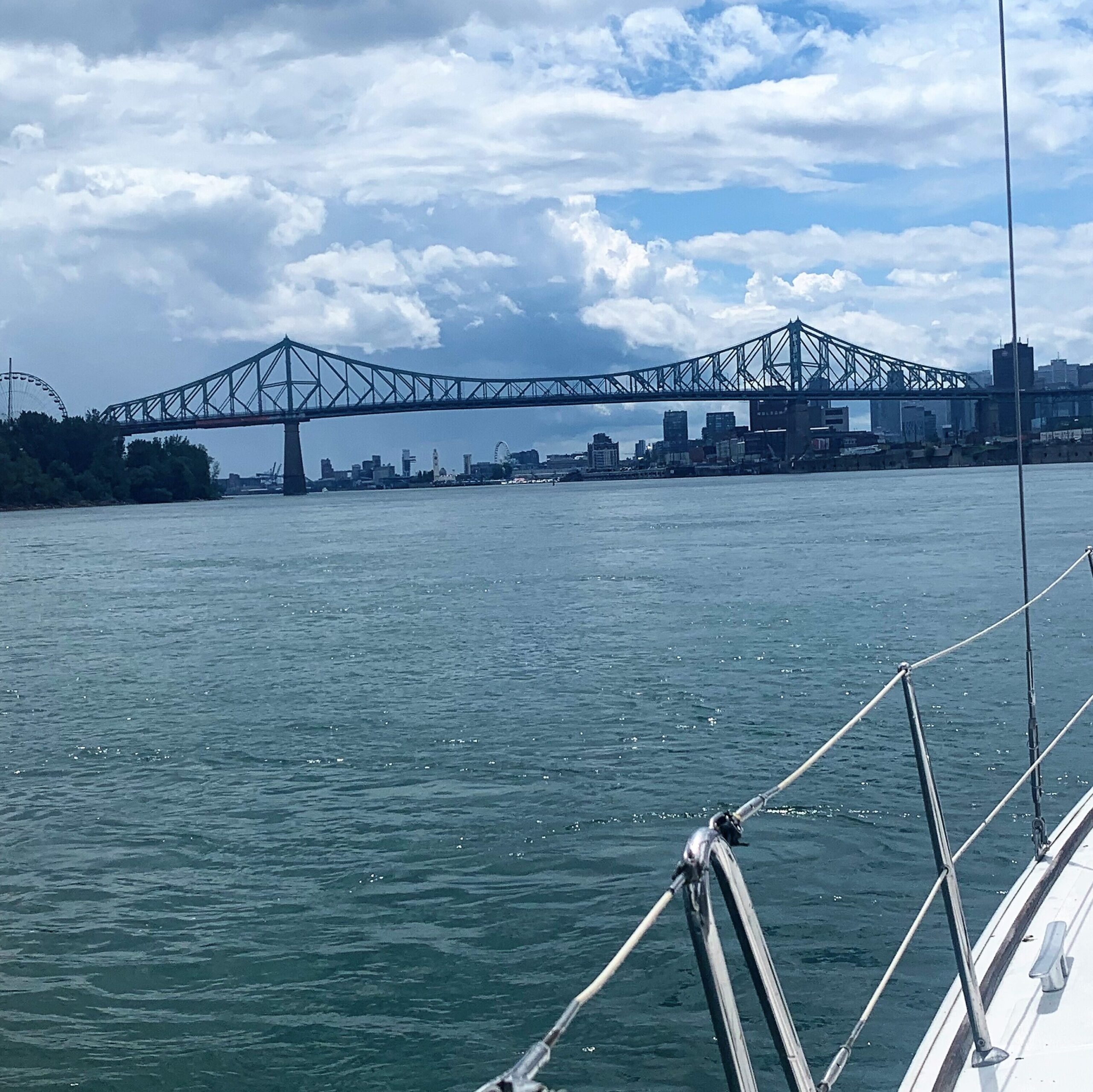
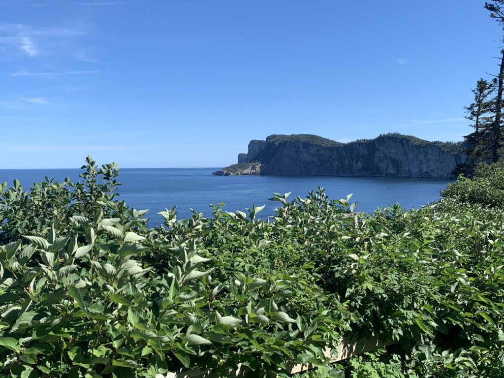
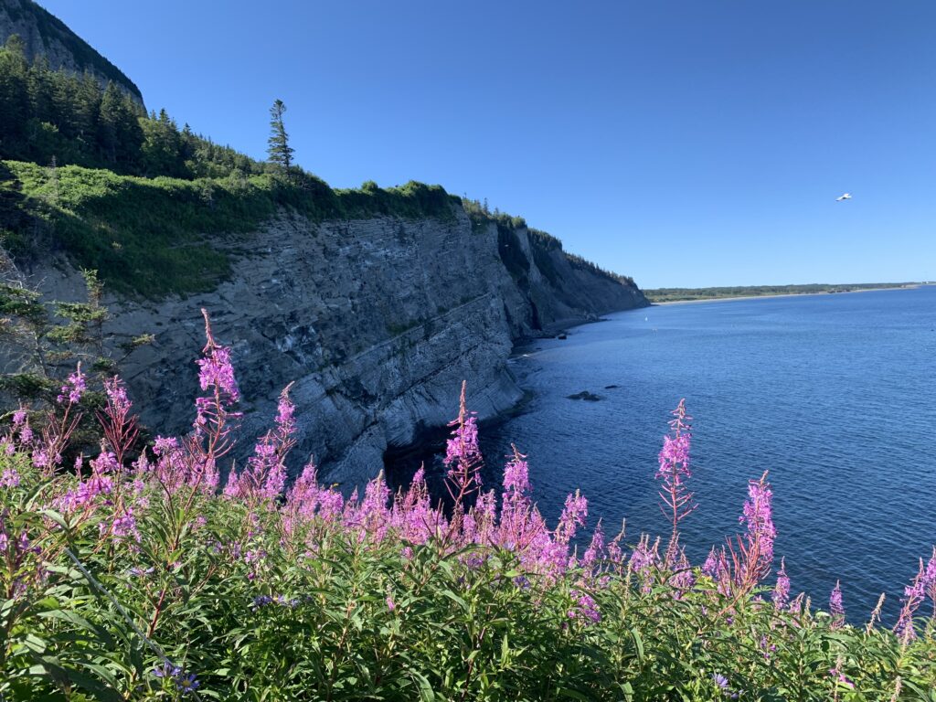
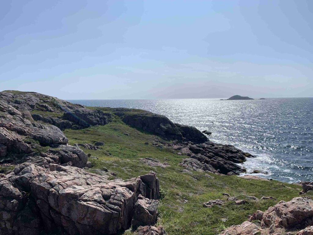
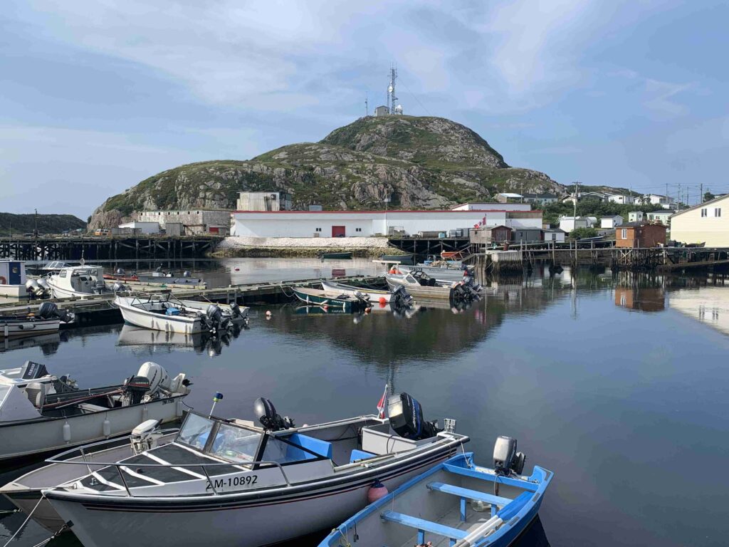
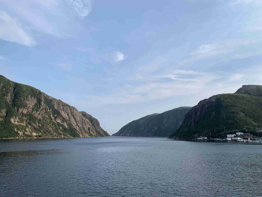
I have to admit it hasn’t been all bad as we were able to enjoy August of 2020 in Ontario’s 1000 Islands and finally moved into our new downtown condo in January, and we know we are truly blessed to have been able to do this, but adventure is calling.  With the border closure extending far longer than anyone expected, we set to brainstorming a new plan….back to the North Channel? Lake Superior (the one we missed in 2019)?  1000 Islands again?  Or beyond, to Montreal?  Or beyond, WAY BEYOND!!!  Newfoundland, here we come!

The New Plan A

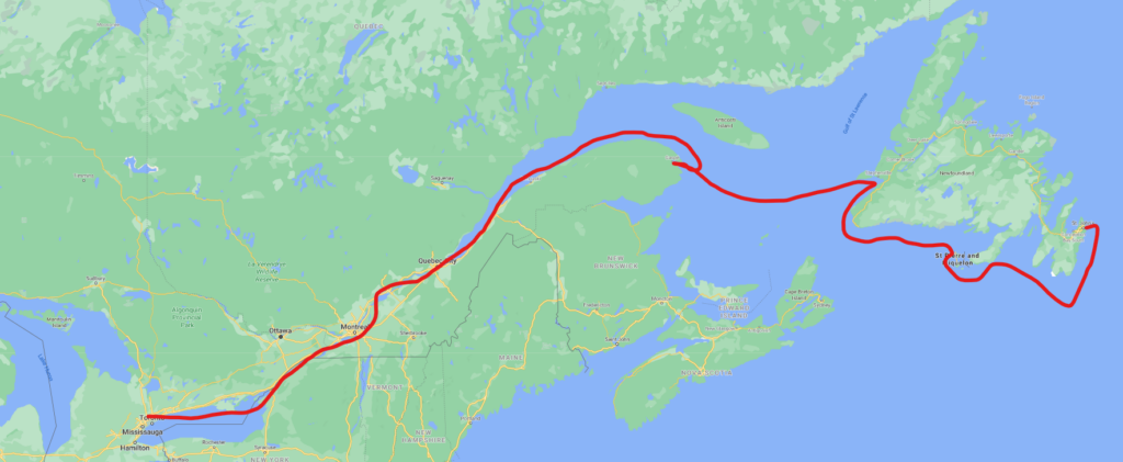
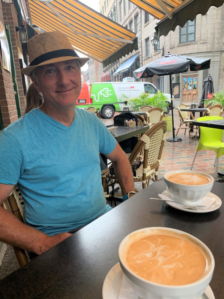
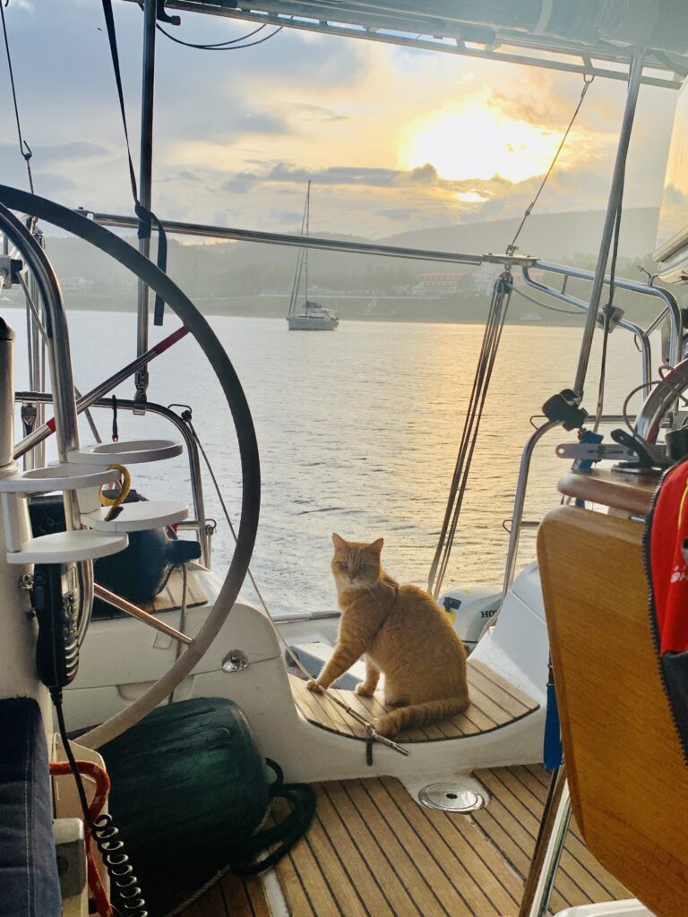
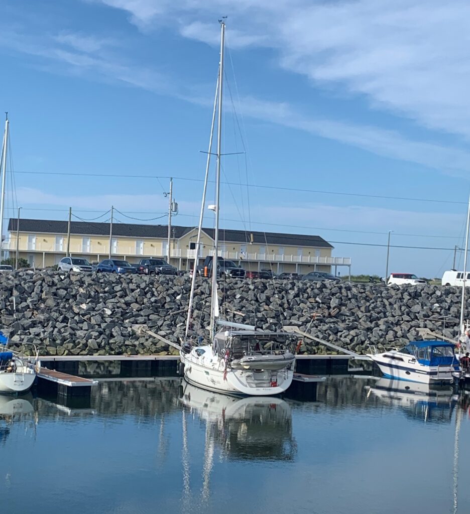
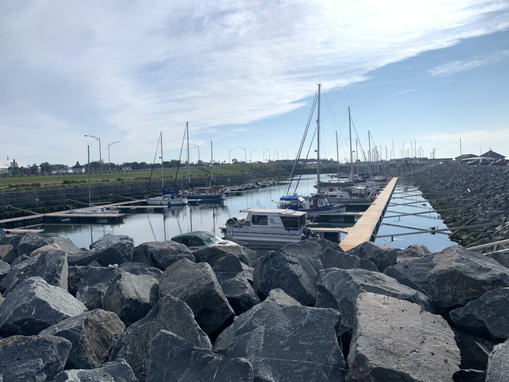
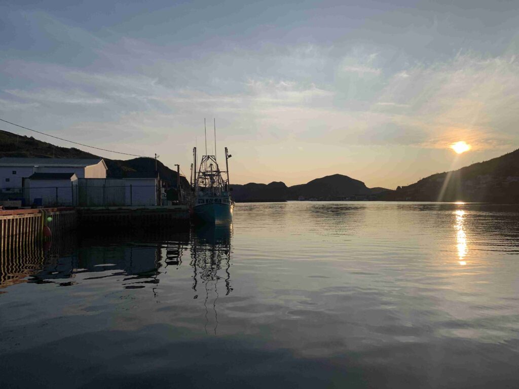
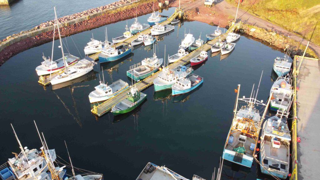
We (hope) we’ve found the perfect solution to satisfy our need for adventure yet complies with restrictions between country and provincial borders.  Recently Ontario & Quebec opened their borders to each other, so that green-lighted our trip, at least to then eastern shores of Quebec.  Now we are waiting for the official word from Newfoundland – they have hinted that fully vaccinated Canadians will be allowed in without requiring quarantine, and Allen and I are fully vaccinated (Cat Stevens has his shots too) so fingers crossed.  But in the meantime, we’re not waiting, and on June 19, 9:45 am, we pulled away from the dock at Ashbridges Bay Yacht Club, a club we’ve called home for nearly two decades, waved goodbye to dear friends and pointed the bow of Meshuggana to the East.

We sailed into the fog as we left ABYC.
Alone at Camelot Island!

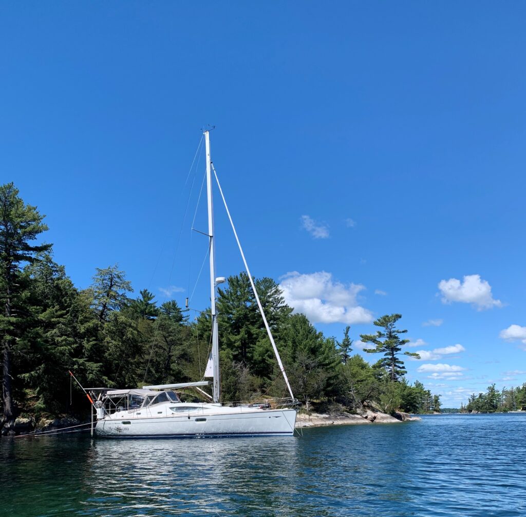
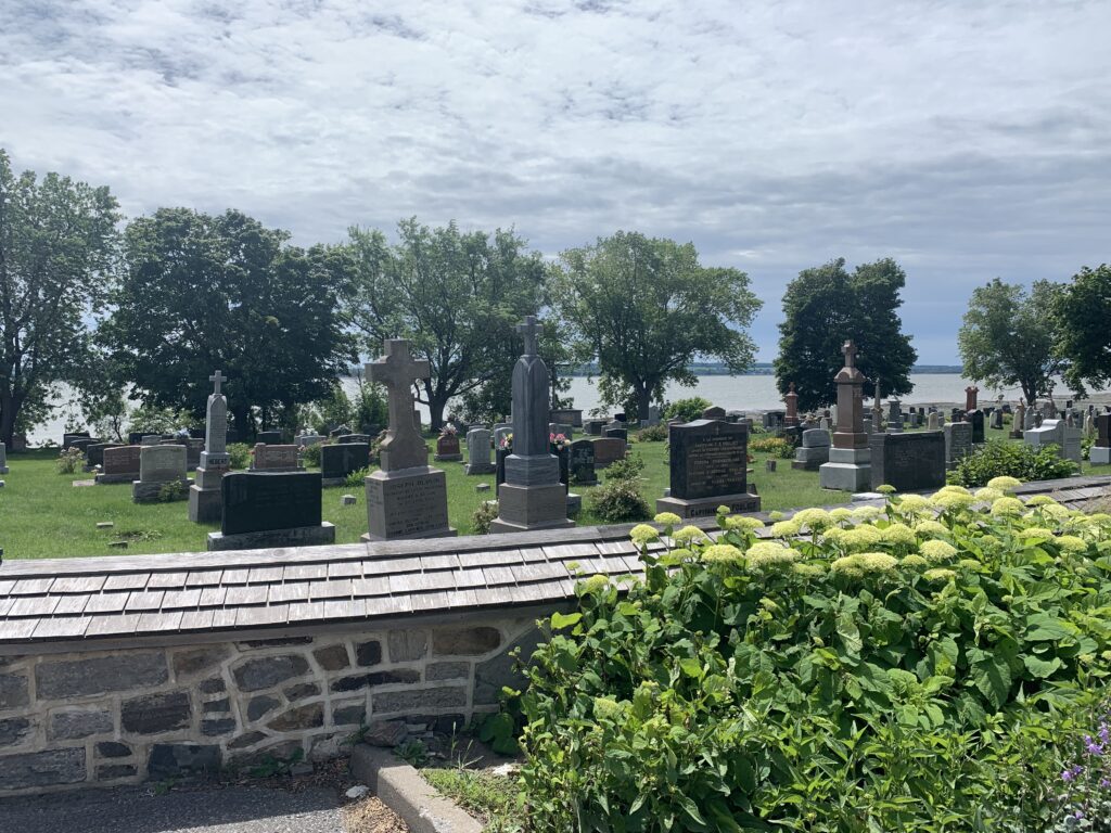
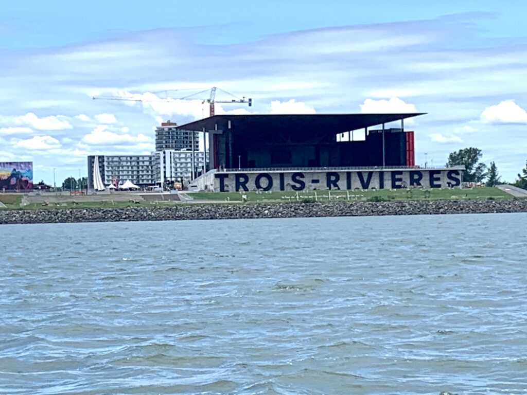
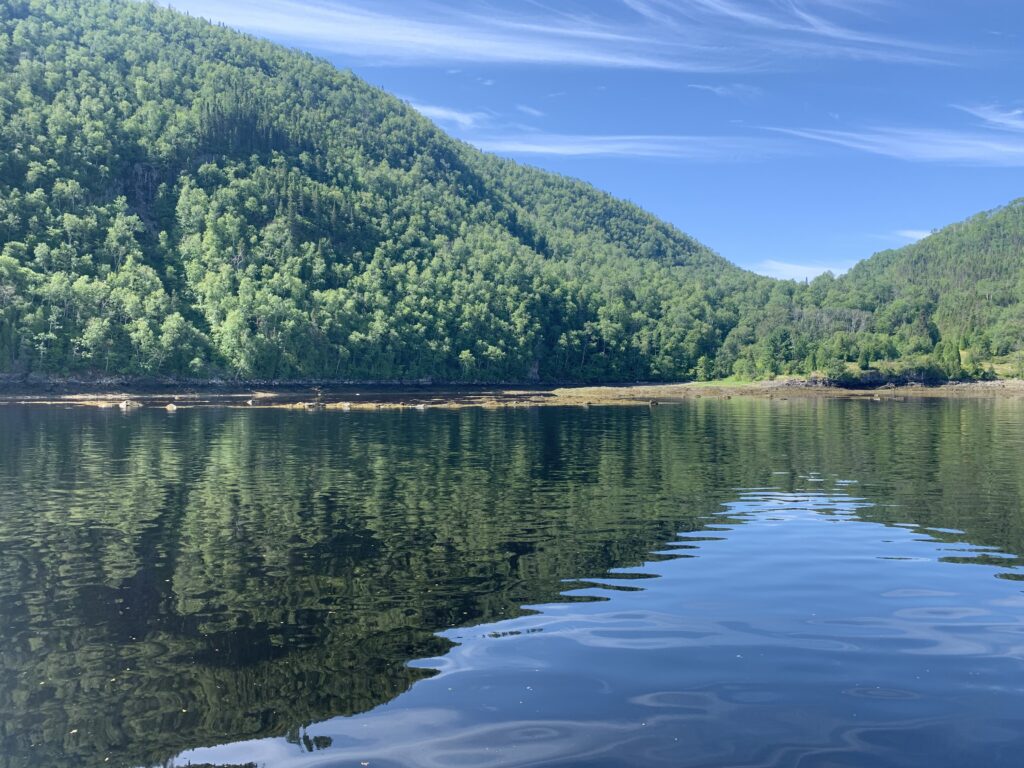
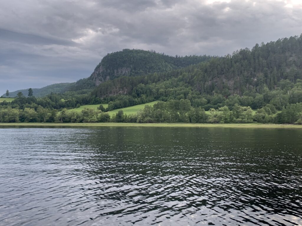
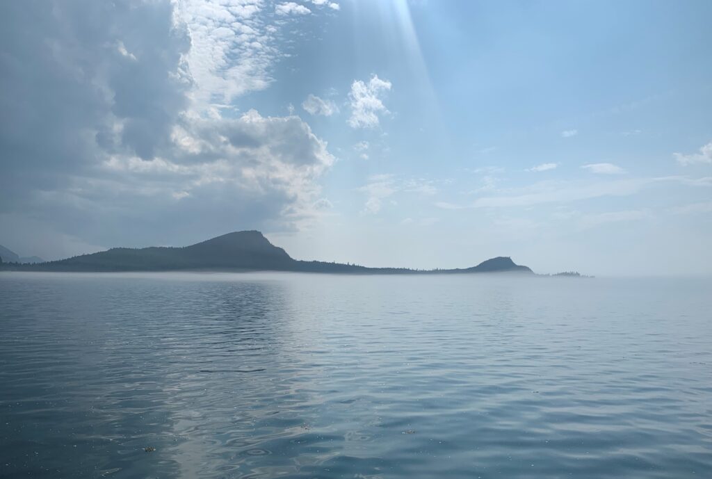
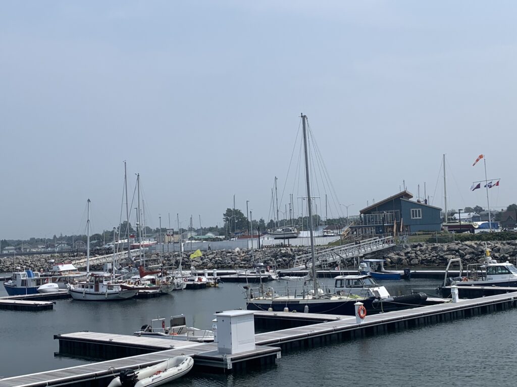
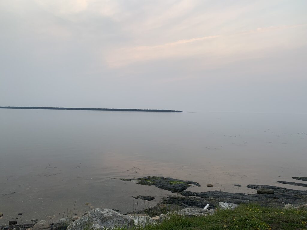
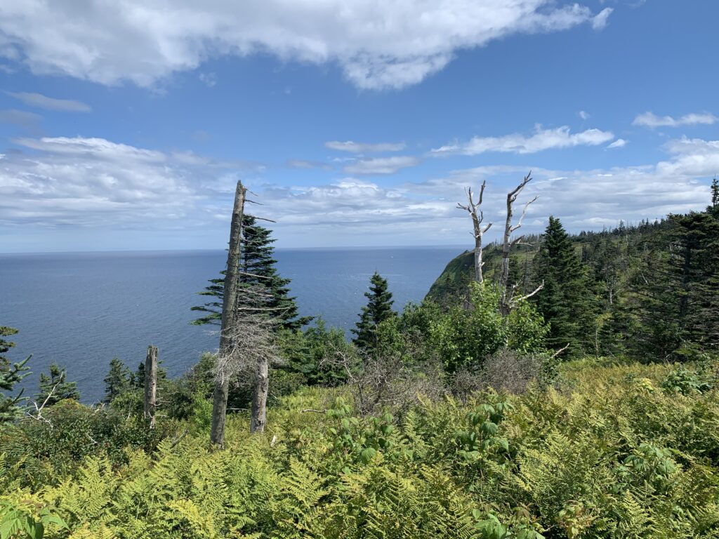
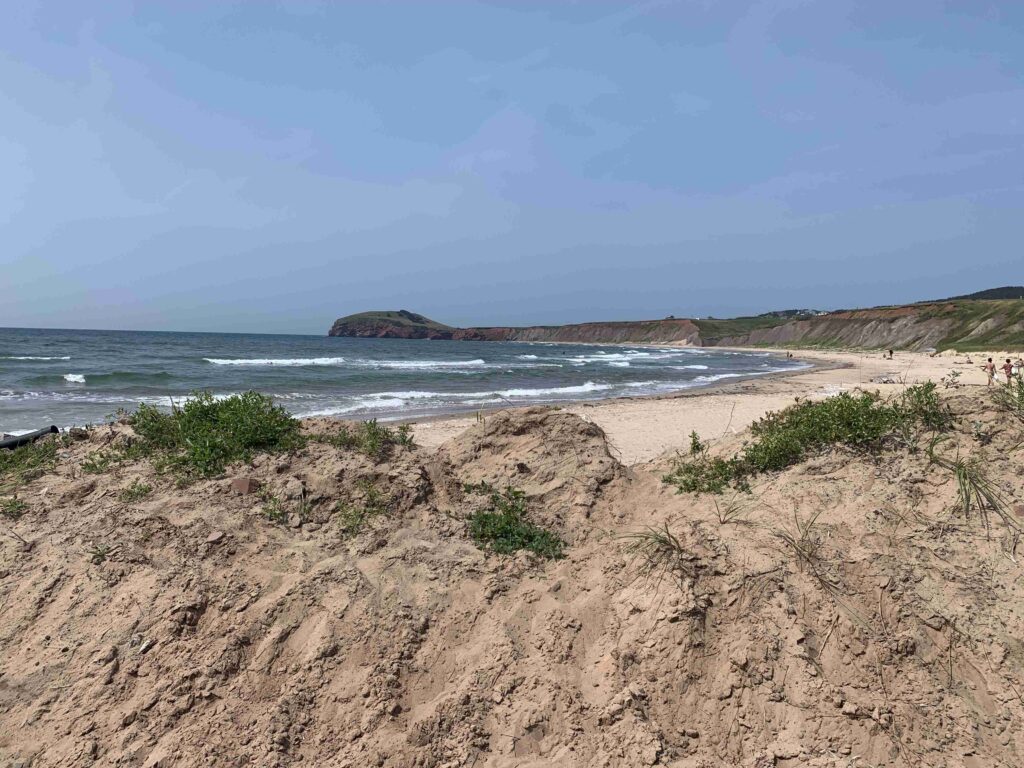
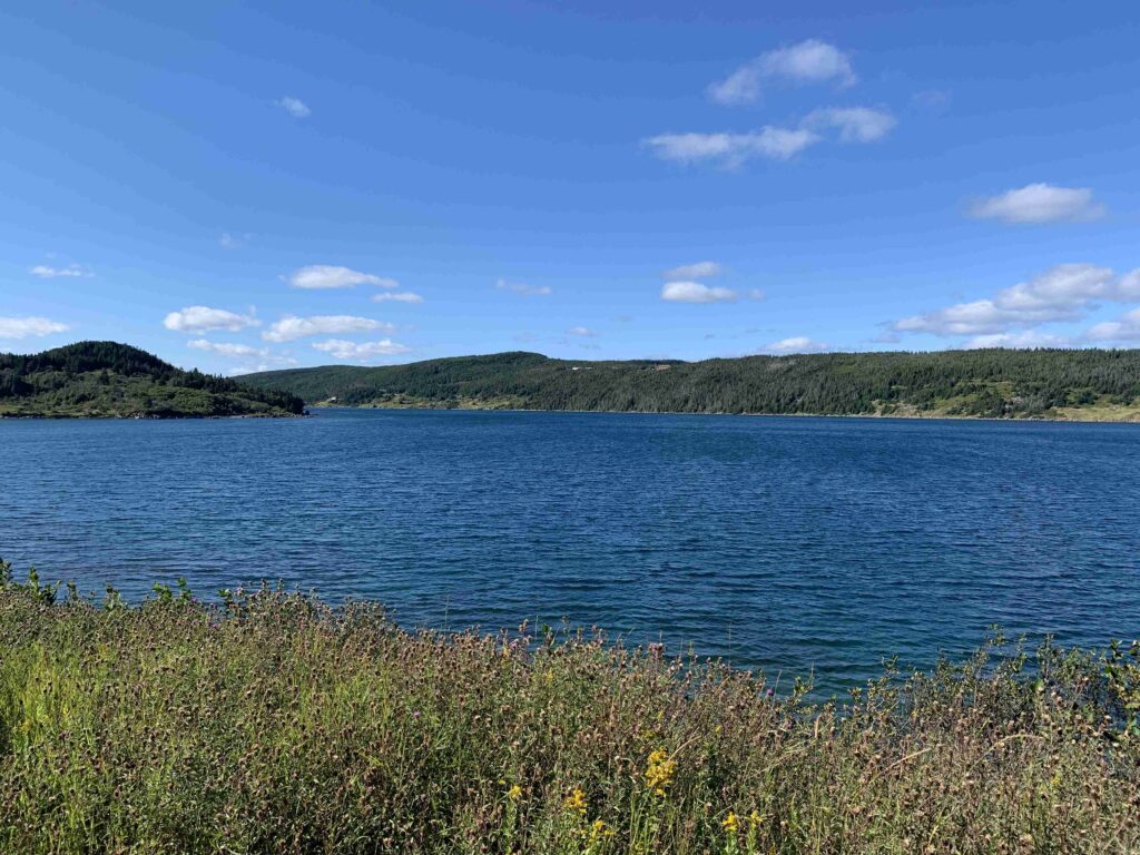
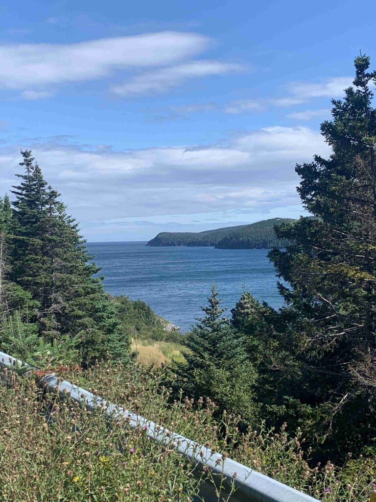
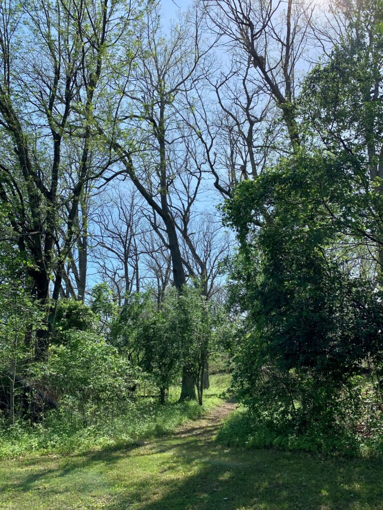
Our first week has gave us good weather and fair winds as we said farewell to Lake Ontario and the 1000 Islands.  We visited favorite spots such as Wapoos, Camelot and Georgina Islands, and 6 days after embarking on this trip, we crossed that invisible line and pushed further east than we have ever been by boat, making stops at Grenadine Island, witnessing the horrible deforestation caused by a LDD moth (formerly referred to as Gypsy Moths) infestation and spending a day in lovely Brockville, Ontario, a beautiful historic town in Eastern Ontario. 

The forest looked like April, not end of June.
Creepy crawlers dripped from every tree.
One tree done, starting on the next.

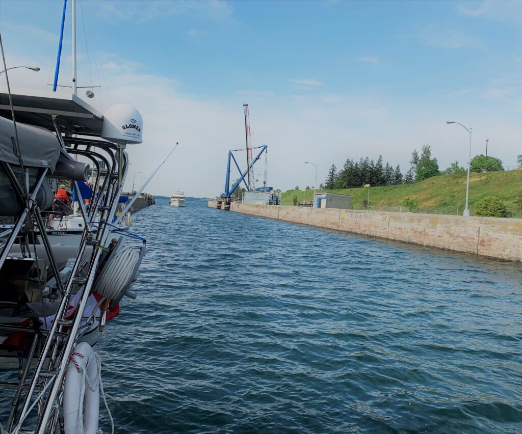
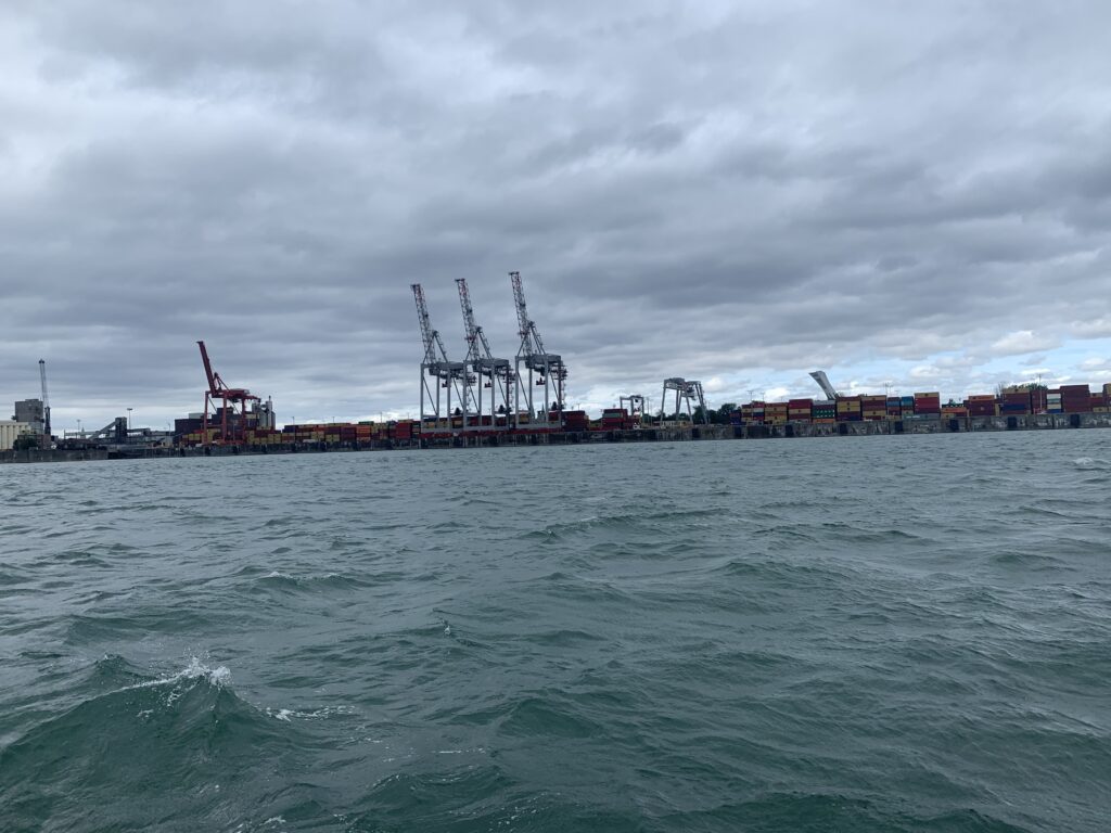
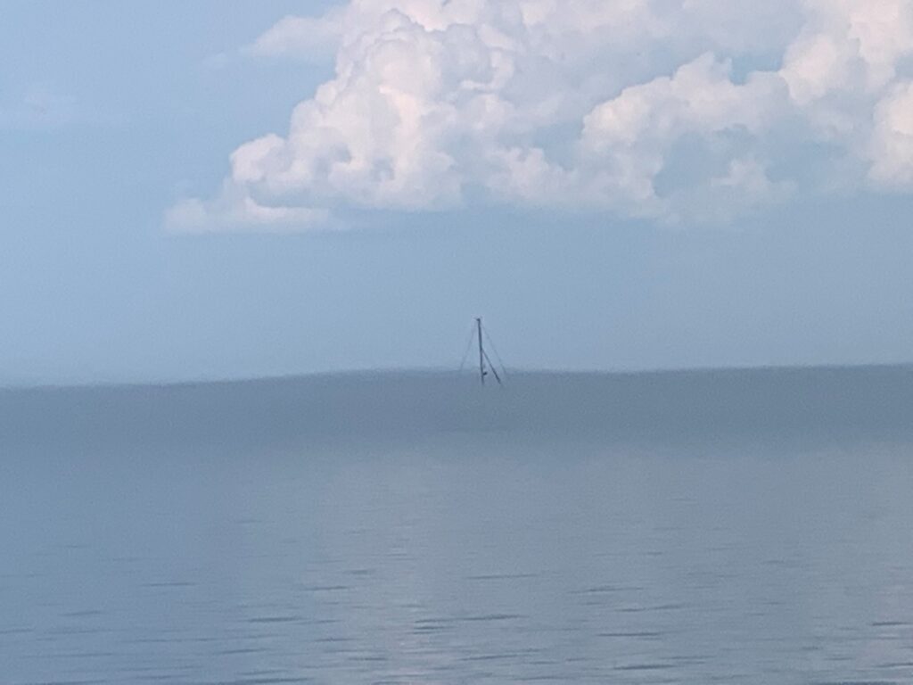
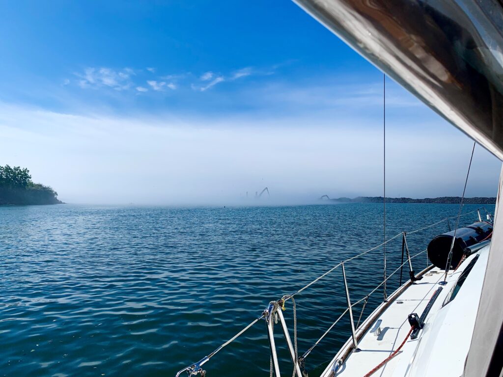
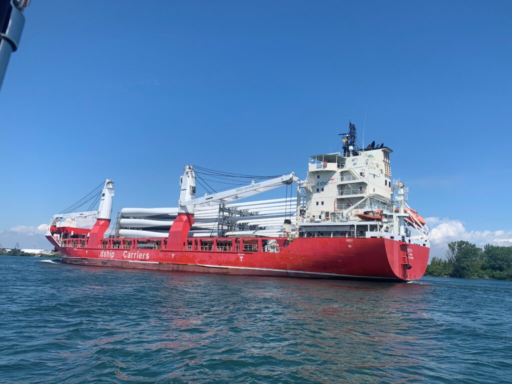
One new skill we had to acquire very quickly is dodging freighters.  We have encountered ships before, but it is somewhat rare in Lake Ontario.  The St. Lawrence River may be wide and large, but the shipping channel narrows down to barely a ship’s-width in a few areas, and when an enormous ship is coming up on your stern, you learn to quickly move out of the way.  Most of the time we can manoeuvre to the far edge of the channel to wait for the ship to pass, but there have been times we have had to leave the marked channel entirely and closely watch the charts until the enormous vessel passes by and then brace for the massive bow wave as it hits our boat.

Singer Castle, built by the sewing machine fortunes, now delapitated tourist attraction.
Ship carrying wind mill blades

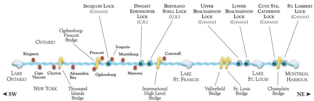
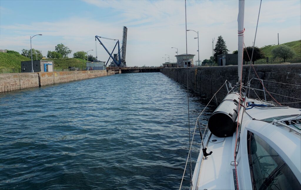
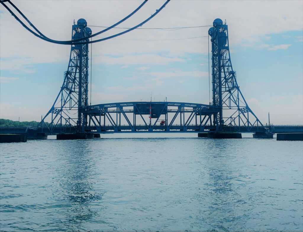
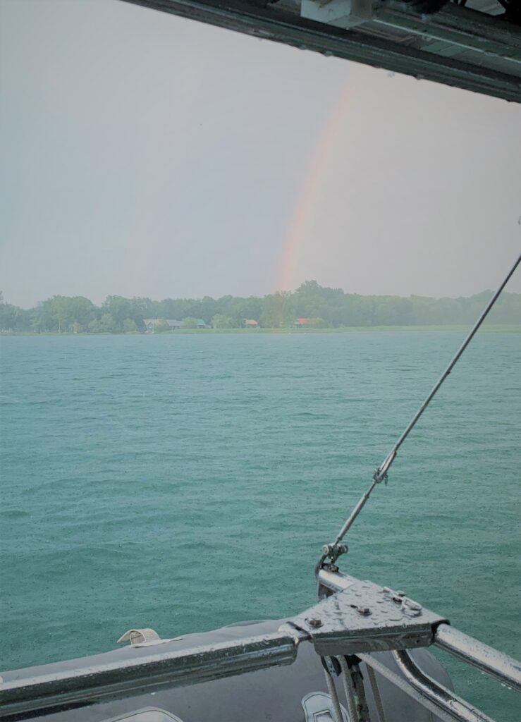
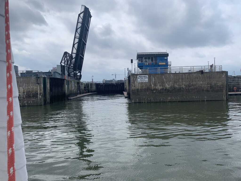
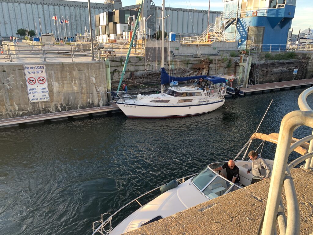
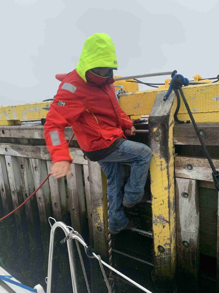
As I write this blog, we are swinging from the hook (aka, the anchor for you non -sailors) hoping the forecasted thunder storms will miss us tonight and tomorrow will bring us the next chapter of our journey as we pass through the first 3 locks, Iroquois (Canadian), Eisenhower and Snell (American), that will bring us down the mighty St Lawrence River, toward Cornwall, our final stop in Ontario.

Cat Stevens on watch.

The Big Down East Adventure, Chapter 2

After leaving Brockville, Ontario, the power of the St Lawrence River became very real.  There are 7 locks between Brockville and Montreal, about a 3 hour trip by car, that takes about 3 days by boat.  Two years ago during our Great Lakes adventure we transited over 50 locks, some tiny ones in the Trent Severn system and some giant ones in the Welland Canal, so we were pretty confident we had this down pat. But it was time for more lessons – while the mechanics of lock travel were the same, the logistics of traveling the St Lawrence locks are quite different and Covid restrictions added yet another layer of complexity.

I have lived in the St. Lawrence Seaway’s backyard my whole life, though I never paid it much attention until now, and what I have learned is pretty interesting:

Known as “Highway H2O”, the St Lawrence Seaway is a series of locks, canals, dams and channels and it officially begins in Montreal, Quebec and ends in Lake Erie while connecting the Atlantic Ocean to Deluth, Minnesota.

Lake Ontario is 243 feet above sea level and these 7 locks make travel from Lake Ontario to Montreal possible: 5 are Canadian and 2 are American.

The Seaway was built by and still operated jointly by both the Canadian and US governments.  The main route weaves in and out of both countries’ borders; however, we only check-in with Customs if we make contact with land. River bottom is considered land so we may not anchor in US waters without checking-in with Customs, and with the international border still closed due to the pandemic, this is strictly forbidden.  This has proven to be a bit challenging in areas where the river narrows and the best and sometimes safest anchorage is on the other side of the border.

Construction on the Seaway began in 1954 and was completed in 1959.  Approximately 6 villages and 3 hamlets were intentionally flooded on July 1, 1958 to create Lake St. Lawrence.  They are now known as the Lost Villages and apparently today they provide some pretty cool dive sites.

Now back to our adventure!

It is mandatory to reserve your spot in each Canadian lock and prepay ($25 per lock) online at least one day in advance. There are only 2 times each day that pleasure craft may transit, in the morning anytime between 9am-1pm, and in the afternoon, 1 pm-8pm.  Since the Seaway’s first priority is commercial traffic, big ships as well as trains crossing railway lift bridges, there is no wiggle room for pleasure craft.  The US locks do not maintain a specific pleasure craft schedule, so you show up and they take you when they take you – it could be minutes, it could be hours. 

On the eve of our first lock transit, we made an online reservation for the first lock, Iroquois Lock, for an afternoon passage.  The previous day the afternoon transit was scheduled for 4:30 pm so we had lots of time to sleep in, visit the farmers’ market, top up fuel and water and leisurely cruise down the river to our first lockage in the late afternoon.

Lesson #1 – Check the day’s schedules by 7:30 am, every day as the schedule can be radically different from one day to the next. 

We missed Iroquois Lock by about 3 hours.  Fortunately we found an anchorage close to the lock, made a new reservation and got through the following morning.

The tie-up dock where we wait for the lock to open.
The view as we enter a lock

Lesson #2 – Check carefully for lift bridges and build in extra time.

For our second lock we checked the schedule and left with plenty of time; however, we only made the lock with minutes to spare.  Approximately 1 mile upstream from the lock there is a railway lift bridge that is scheduled to be raised daily at 11 am; however, there was a train coming, an awfully long train, and we had to wait for the train to pass.  Commercial traffic trumps pleasure craft every time.

Waiting for the train.

Lesson #3 – They let (almost) anyone into the locks.

Two years ago, when transiting the Trent Severn locks and the Welland Canal, we found the lockmasters very helpful.  They made sure we knew what we were doing and kept close eye on the boats in the locks in case anyone had trouble.  This is not the case here. Although the administration was new to us, the locking procedures were not – Allen and I have a solid routine that gets us in and out safely and efficiently, but it was clear some of the boaters sharing our lockage were novices not only to locking, but to sailing in general. We had a near collision inside a lock with a small sailboat that lost control. Eventually they were instructed to get in front of us (much to our dismay) and they went through backward – stern first!  We endured 2 more locks with this boat then helplessly watched them getting tossed around like a toy in rough conditions on Lac Ste Francis, lose some fenders and were relieved to see them finally go into marina while we moved on. 

Allen controls the stern with the stern line, bow thruster and engine.
A motor boats enter behind us.

As we exited our last lock in Ste. Lambert, we took a 90 degree turn upstream and fought the 6 knot current for one mile to reach the Old Port Marina in beautiful Old Montreal.  Time for croissants, café au lait and some R&R. 

Big rainbow after a squall at anchor in Lac Ste Louis
Samuel-De Champlain Bridge, leading to Montreal, lit up at night.

The Big Down East Adventure Chapter 3

Bonjour Montréal! One of my favourite Canadian cities and it has been far too long since I last visited, but this time was extra special – first time by boat.

To reach the marina in Old Montréal, we exited the final lock (after they made us wait almost 2 hours at the dock and let us in just as the skies opened up, soaking me to the skin) passed île Sainte-Hélène and then made a 90 degree turn into the St Lawrence River to travel 2 nm against a 6-knot current.  This short distance is not for the feint-hearted sailor as we put our engine on full throttle to beat the current.  It’s no wonder we were the only sailboat making this trip – Montréal is a motor boat destination.

Bonjour Montréal! Taking on the huge currents flowing out of the LaChine rapids in the St. Lawrence.

We found the marina in the heart of historic, charming Old Montréal.  We spent 2 days walking the cobblestoned streets, checking out shops, listening to street musicians and of course, enjoying some café au lait and croissants.

Bowl of café au lait on a rainy day.
Decisions, decisions…Bowie or Prince Rubber Duckie?

Giant ferris wheel in the harbour

Two days later we cast off our lines and pointed the bow downstream, happy the current would be with us this time making it a smooth sail; however, the wind had other plans. The forecast failed to show the 25 knot winds on the nose, creating an enormous chop that sent waves crashing over our bow.  We soon realized it would be a miserable ride and ducked into the nearest port, Longueil, just across the reiver.  Longueil is a Montréal suburb and although this was not a planned stop, we made the best of it by doing some provisioning and stopping by a patio and discovered our new favourite adult beverage: Mad Men (recipe at the end of the chapter).

Industrial port of Montréal

Over the next week we were fortunate to find good anchorages with good anchor holding, decent protection from winds and wakes, most were quiet and peaceful, with one exception: Trois Rivières.  While sail and motor boats aren’t always the most compatible, most boaters are respectful to one another and everybody gets along.  However, our night in Trois Rivières, a very popular spot for jet skis and small motor boats, was an exception to the usual courtesy boaters show one another.  Jet skis and motor boats bombed along the river all day long and almost made a game of seeing how close they could get to the sailboat and rock us with the wake. Then it occurred to us – was it because we’re a sailboat?  Or was it because we fly the red & white Canada maple leaf flag and have “Toronto” written on our stern?  Hmmm…for you non-Canadians reading this – Québec has tried to secede from Canada more than once, and some Québecois still think they should.

Another lovely anchorage sunset.

Our next big stop was another of my favourite Canadian cities:  Québec City.  Or just “Québec”, as it is called here (just like New Yorkers don’t have to say “City” for you to know where they are from).  If you have never been to Québec City, and you like Europe, put this city on your list.  It is a UNESCO World Heritage site and the only walled city in North America.  History, charm and French food, and more food…did I mention the food?  What more could you ask for?  Oh yes, a work-out too – the city is on top of hill so as an added bonus you can get your cardio work-out while exploring this magical place.

The famous Fairmont Le Chateau Frontenac Hotel, one of the most photographed hotels, greeted us as we approached Québec City.

The Québec City Marina has unique feature – its very own lock.  The tides here are significant, about 5 meters/16 feet.  The marina always maintains a consistent water level, equivalent to high tide.  When the tide is high, the lock doors are open, and boats may travel through them freely.  At all other times, a boat wishing to enter or leave the marina must radio the lock master and request a lock-through.  This is usually a fairly quick process; however, if a boat needs to leave the harbour outside of regular lock business hours they must tie up in the outer basin the night before their departure.

Lock doors open.
Boats locking up into the marina.

We love our sailing lifestyle, but we also like to find adventures off the boat too.  There is an island just a 20-minute drive from Québec City, île d’Orléans, that is accessible only by one bridge and a tiny marina.  We were doubtful about getting into the marina, so we rented a car and took a drive.  île d’Orléans feels like it’s 1000 miles from the city and is mostly farmland, has a population of 7000 and 6 villages.  Each village is known by it own specialty from locally farmed produce (it’s STRAWBERRY season!), wineries, creameries, galleries of local artisans and my personal favorite, the fromageries (cheese!). It was a fabulous day trip and nice change from boat life for a day.

A farm with Mt St Anne ski resort in the background.
Strawberries!
A home on the island.

After 3 wonderful days we bid au revoir to Québec City and continued our sail downriver.  Québec City was a significant milestone because this was the point where navigating tidal water becomes real.  We now need to calculate and factor-in tides and currents into every arrival and departure from this point onward.  We can no longer sleep-in if we want to, arrive in ports whenever we feel like it or just drop an anchor based on how the anchorage looks now.  It is a little scary, but it’s also very exciting to be learning and experiencing new things. 

One of many churches, this one is on île d’Orléans
Old cemetary overlooking the river on île d’Orléans
Bandstand on the river.

Mad Men Cocktail

Orange slice, muddled with Bitters

Then add:

1 oz bourbon

.5 oz spiced rum

.5 oz cognac

.5 oz simple syrup

Add ice, stir and strain and garnish with an orange wedge.

Cheers!

The Big Down East Adventure Chapter 4

Leaving Québec City marked the beginning of a very new adventure. Up until Québec City, finding anchorages and marinas was not a great challenge because that stretch of the river has several larger cities, and cities mean boat traffic and all the resources that go with it like marinas, fuel and restaurants.  As we moved east of Québec City, we encountered far fewer boats (interestingly, those we did see were mostly sailboats) and fewer marina and anchorage options.  This is also the point where the river gets wider, deeper and saltier and our planning skills needed to come up a notch because now we were traveling greater distances each day and if a marina or anchorage that we were aiming for was not suitable, we had very limited options on where we could spend the night. 

Our first stop was the town St. Jean Port-Joli, a lovely touristy-cottagey town on the south shore of the St. Lawrence with a small marina that looks out onto the river and the Laurentian Mountains.  We made a reservation and were given a specific arrival time, 3pm.  We made good time and were happy to arrive a bit early, at 2:30, but were told we may not enter until 3pm.  We complied and then learned 3pm is not an arbitrary check-in time, but it is high tide and had we attempted to enter the harbour earlier we would have grounded and been stuck in the mud.  This also meant that we needed to plan our departure for the next morning so that we could leave the without getting stuck. This type of planning has now become our daily norm.

Marina St Jean Port-Joli Marina, Laurentian Mountains in the background.

Leaving St. Jean Port-Joli brought a new, exciting element to our adventure because we were entering whale territory and as special welcome, two Belugas greeted us as they swam about 100 feet off our beam.  The lower St Lawrence River, Gulf of St Lawrence and Maritimes are home to 13 species of whales, 3 of them endangered: Belugas, Blue Whales and Right Whales.  By law we must maintain at least a 400-meter distance from the endangered whales and at least 100 meters from the other whales; however, whales are intelligent and curious mammals and like to come by to check us out. This has happened to us twice with Belugas and when they approach, we are to maintain course and speed until they get bored and swim away.  But wow, they are incredible animals and we hope to see many more as we travel east.

Belugas coming to greet us.

We crossed back to the northern shore of the St. Lawrence and arrived in the town of Tadoussac.  This mountain town is busy with restaurants, a microbrewery and plenty of shops catering to tourists coming for whale watching. This is where the fresh water of the Saguenay River flows into the salt water of the St. Lawrence, creating a mixture of fresh and salt waters that make this the perfect feeding ground for whales. Belugas like it cold so they live here year-round, but the other whales live here for a few months to fatten up and then leave for warmer waters.  Tadoussac also marks the southern entrance of the Saguenay Fjord.  The fjord is 105 km (65 miles) long and within it is the Saguenay Fjord National Park.   The river is deep and cold, with an average depth of 210 meters (690 feet)!  It is deep all the way to the shore, often 100 feet deep just a few feet from land, which makes anchoring nearly impossible, although we did anchor one (stressful) night and then stayed at the marina the next night. 

I do not have the words to fully and adequately describe this amazing place so I will let the photos do it for me, but I will say this – put this fjord on your bucket list! Come see this magnificent wonder for yourself!

Sunset at Taddoussac, the start of the Saguenay Fjord

The Saguenay Fjord!
Our only anchorage in the fjord.

Marina L’Anse Saint-Jean

A seal basking on the warm rocks before sundown.
Cat Stevens enjoying the scenery.

The Big Down East Adventure Chapter 5

As we sailed out of the Saguenay Fjord, I was feeling a bit melancholy because it was hard to imagine that anything else could rival the experience of having the fjord to ourselves for 3 whole days.  I think the Belugas may have sensed my mood because as we departed Tadoussac in a dense fog with visibility less than 30 feet, Belugas surrounded our boat.  They were on port, they were on starboard and one swam by our stern so close that I could have reached out and touched it (but of course I did not).  I did not snap any pictures, they were so fast, but I was just grateful to experience a special Beluga send-off.

The fog did not lift as we spent the next 6 hours crossing the St. Lawrence River back to the south shore and we were very thankful for radar keeping us safe during this passage. We did, however, have a good laugh when we noticed that we were being followed by other boats and soon figured out they were whale watching excursions, probably full of tourists, hoping to see the big 42-footer their radar picked-up. We dashed their hopes with a blast of our air-horn and felt their wake as they sped off to find the real whales (likely our Beluga friends). 

Just the mast is visible as a sailboat enters the harbour in the thick fog

We landed in a bay near Bic National Park.  Fog was still thick, so we relied on sonar to scope the area and picked a spot to drop the anchor.  By evening the fog cleared, we were pleased with our spot and surprised to see another boat in the bay with us (now we can add fog to currents and tides to the list of new things we have learned).  We anchored near Bic for 3 days and had hoped to go ashore and hike the park, but there was not a good place to land our dinghy on shore so we spent the entire 3 days relaxing on the boat.  

Our anchorage in Bic National

The next stop was Rimouski, a good-sized city with a modern marina and all the necessities (grocery and hardware stores) within walking distance so we were able to stock-up, fuel-up, pump-out and begin the next leg of this adventure.

Marina in Rimouski
So tempting to take the short-cut across this big bay
Same bay, boulders lurking beneath the surface

In the next few days we took advantage of the good weather and focused on putting some miles behind us.  This section of the Quebec coastline is pleasant with hills, small villages and farms, but otherwise unremarkable.  We found a couple nice anchorages and then pulled into a small town, Matane, to wait-out unfavorable winds.  We knew Matane had a channel that became impassable at low tide, so we timed our arrival perfectly.  What we did not expect was for the marina’s water level to drop significantly during low tide, and at low tide our keel sank 1 foot into the sand & clay bottom. The local sailors assured us that’s just the way it is and we would be fine. And we were. 

Meshuggana, with its keel 12″ in the mud.
Breakwalls surround the Matane marina.

After Matane the landscape shifted again.  The river widened and we could no longer see the north shore and the southern shore became taller, rockier and the farms became fishing villages.  Remember my first sentence?  The one where I said I was not sure anything could rival the fjord?  I should not have worried – our journey has taken us to the Gaspé Peninsula, or just Gaspésie, and the northern edge of the Appalachian Mountains! 

Lighthouse on the hill.

I am not quite sure where the St. Lawrence River ends and the Gulf of St. Lawrence begins, but it is right around here.  The water is big, deep and fast.  It is also a Katabatic Wind country.  These winds are a nighttime phenomenon caused by an air mass that falls down into the mountain valleys as the temperature changes and then blows out to sea at 30+ knots. Several times we anchored in a calm bay, looking forward a peaceful night and good sleep, only to be awakened around 2 am to a pitching boat and howling winds, but a few hours later, as the sun rises and warms the air, all is calm again.    

The Appalachin Mountains in the background.

We are seeing new wildlife – seals and huge sea birds, almost the size of swans (no, they are not swans), and watching them hunt for fish is quite amazing – they seem to be coasting along and suddenly go into a kamikaze dive into the water, kick-up a 2 foot splash, disappear under the waves, emerge and fly off again.  I can watch them all day long. 

Allen checking out a crabbing boat in Cloridorme.
Our neighbor in Cloridorme.

The ports different here as well. We now stop in small fishing villages with 20-foot-high concrete breakwalls sheltering metal walls where commercial fishing boats tie up, and not marinas that cater to pleasure craft. We are allowed to tie up on the wall if there is space.  When there is no space on the wall, we may anchor in the harbour as long as we stay out of traffic, but this can leave us exposed to winds and currents.  Another option we’ve heard about, but have not tried yet, likely because my limited high-school French did not extend to such subjects vs lack of opportunity, is asking permission to raft off of a commercial fishing boat.  But I’m sure we’ll do that too eventually.

Biggest commercial wharf in the Gulf of St Lawrence, Rivière-au-Renard
Rivière-au-Renard

The Big Down East Adventure Chapter 6

Chapter 6 – Gaspésie

We have been in the Gaspésie (the Gaspé Peninsula), for just over 2 weeks and will soon move on to the next big adventure, the jump across the Gulf of St. Lawrence to the Madelaine Islands, but first let me tell you some more about Gaspésie.

The city of Gaspé is the largest city in the peninsula and is approximately a 9-hour road trip through the mountains to Quebec City.  Gaspé has an airport with service to larger cities and was the last opportunity to get catch a flight back to Toronto.  This was important because we were waiting on a little girl – Allen’s granddaughter was due on July 29, Allen’s birthday, and he wanted to go home to meet her.  Lucy arrived one day early, safe and sound, and Allen was able to get back to meet his sweet little granddaughter.  Since I had to stay with the boat and Cat Stevens, Gaspé was a good choice with a full-service marina, close to amenities, where I would be safe and comfortable alone on the boat for a few days.

View from the boat, a Gaspé sunset
I found the missing buoys

It’s hard to know where to begin describing Gaspésie as there is such variety and so much to see.   The main attraction to this area is nature: the forests, the mountains and of course, the sea.  The coastline is dotted with small fishing villages, farmland and the Chic-Choc Mountains, the northern beginning of the Appalachians.  I wanted to thoroughly explore this area and since I had some time on my hands, I rented a car to do some land-based exploring.  Here are some of my favourite parts of Gaspésie:

Percé Rock and Bonaventure Island:

Approaching Percé Rock from the north

Before we sailed into Gaspé, we made a stop here, one of Canada’s most famous natural landmarks.  It is a huge natural rock formation and one of the world’s largest natural arches located in water. The water surrounding the rock is deep, making it possible to get quite close, although it is not possible to take a boat through the arch because the bottom is jagged rock.  At low tide brave souls are able to walk along a rocky path to explore the rock, but I preferred to view it from the comfort of our boat. 

Percé Rock from the south
Another angle of Percé Rock

Bonaventure Island, a national park, is just a short distance from the rock. It is a bird sanctuary, home to over 200 bird species, but most impressively, about 100,000 Northern Gannets make Bonaventure Island their home.  These are the same birds we observed earlier, dive bombing into the sea to catch fish from incredible heights.  The island was once, but is no longer inhabited by humans and has a series of hiking trails through the forest, along the cliffs and of course the trails take you to the gannet colony.  When approaching the colony first you hear them, then you smell them and then you see them….a truly awesome sight to be just a few feet away from thousands and thousands of birds. 

Percé Rock from Bonaventure Island, with Meshuggana at anchor in the bay

Cliffs of Bonaventure Island
Bonaventure Cliffs
Having a nap
The chicks are still fuzzy
They go on and on….

Forillon National Park

This park covers a large part of the peninsula and has something to offer every nature lover.  Hiking trails in the forest, over the mountains and along the sea.  You can go kayaking, whale watching, biking, camping, climbing.  I chose a hike to the “End of Land” lighthouse, with spectacular views of the sea that took me down to a rocky beach then up to the top of the cliffs – exhausting, but so worth the views!

End of Land Lighthouse from the water
End of Land Lighthouse up close
Forillon National Park
I saw this sign as I finished my hike!
The same cliffs we saw from the sea
Forillon National Park

Food and Drink

The folks in Gaspésie have taken the eat & drink local movement to heart with most restaurants serving locally sourced foods and locally produced beer and spirits.  Microbreweries are popping up everywhere, but an interesting trend here is micro-distilleries specializing in gin.  We visited two, O’Dwyer, that makes Radoune, a fantastic artisanal gin made with wild mushrooms (and tastes nothing like mushrooms), and Marigot, that makes Récif, also using local ingredients from Gaspésie. Both are delicious, but unfortunately currently only available in Quebec.  The regional food also focuses on local sources and ingredients, such as fish, seafood and much of it smoked, wild mushrooms and game and since I am not a fan of any of this, I cannot personally comment, but Allen has a new favorite: salmon tartare.

I will leave you with one last interesting fact for the history lovers, something I found surprising.  During WWII, German U-Boats reached North American shores and were present in the Gulf of St Lawrence from 1942 -1944.  During this time, they torpedoed 20 ships near the Gaspé coast. Civilian “coast watchers” stood on top of the cliffs to spot the u-boats and with the Canadian military, they were able to eventually secure the inland coastal waters of the Gulf of St. Lawrence.

Berries in the forest – anyone know what they are?

The Big Down East Adventure Chapter 7

A daunting journey awaited us as we left Gaspé , a 150 nautical mile sail across the Gulf of St Lawrence to Îles de la Madeleine, our first real ocean crossing.  To prepare for this 25-hour trip, with no land in sight for most of it, we carefully monitored our weather apps and picked the best time to leave, making sure we took advantage of the best wind conditions and timed our arrival at Isle de Madelaine in daylight. 

We departed on a sunny, blue-sky morning, passing by Percé Rock one last time, and set sail for the horizon to the east.  Soon we realized that although the wind, sun and temperature were perfect for a long sail, the waves had been more difficult to predict.  We found ourselves rolling in 6-foot swells from the aft quarter, and while not dangerous, it made a very uncomfortable ride (thank goodness our vet supplied us with anti-nausea meds so Cat Stevens hardly minded the ride). Fortunately, we had enough wind to cruise at 6 knots with both main and jib sails (no motor) almost the whole distance.  As a bonus, we sailed right through whale territory and were treated with two whales showing up – we think they were Minke whales – and about a dozen dolphins played in our bow wake for several miles. I wish I had been able to snap some pictures, but they came and went too fast.

We shared watch duties, sleeping in shifts overnight and I was the lucky one to have the sunrise watch and see the shores of Îles de la Madeleine in the morning light.  At 10:30am Atlantic time (new time zone) we arrived at the yacht club, greeted by two friendly members who had us tied-up and secured in just minutes.  Now our main priorities were food and a nap. 

The red cliffs of Îles de la Madeleine
More red cliffs

Once we recovered from our long voyage and got our “land legs” again, we wanted to explore this island that we had never even heard of before planning this trip.  As we saw from our approach in the early morning, it was beautiful with red rock cliffs and long sandy beaches.  Time to rent a vehicle. 

It’s a good thing Allen and I both have motorcycle licenses because every single rental car on the island has been reserved until the end of September, but they still had scooters, motorcycles and 3-wheeled Can-Am Spyders available.  Since we both had plenty of experience with motorcycles and scooters and had never tried a 3-wheeler, we rented a candy-apple red Spyder!  A very strange bike, the Spyder is, with 3 wheels, one brake pedal and no clutch.  It rides more like a skidoo than a motorcycle and takes a up whole traffic lane. We give it full marks for stability and comfort, but a failing grade for manoeuvrability as it’s tough to turn that thing.

A fun ride
Riding along the sand dunes

This archipelago, barely a speck on a map at 79.36 sq miles , was named after Madeleine Fontaine, the wife of the first seigneur of the island.  Sometimes they are also called the Magdalen Islands. In 1765 they were inhabited by French speaking Acadians who worked as walrus hunters for the British.  The Acadian dialect is some version of French and still used today.  We also found it very interesting that many houses fly an Acadian flag, a handful fly the Quebec flag and only government buildings fly a Canadian flag – its very clear where loyalties lie on this speck of land.

Drive-by wild blueberries

The islands themselves are as diverse as they are beautiful.  We rode along enormous, white sand-dunes for miles, where kite surfers by the hundreds enjoyed the steady winds and shallow bays.  We rode steep mountain roads with impenetrable Coniferous forests and ended up on the edge of the red rock cliff and sent the drone for a spin to capture the breathtaking, rugged shore. 

Fields with ocean backdrop
Pretty house on the sea
Dense pine forests
Hundreds of kite surfers
More kite surfers
Tide coming in

We loved the Madeleines and would love to come back some day for a longer stay.  Historically the main industry has been fishing, but with collapsing fish stocks in the Atlantic, tourism has taken over. The towns on the islands are bustling with shops and we heard it’s nearly impossible to find a rental unit this season (and we know cars are sold out too).  There are not many restaurants and those that are there are very good and very busy – Allen and I were turned away for lack of a reservation on both a Monday and Tuesday night – but they have a couple very well stocked grocery stores.  The toughest part about these islands is getting there.  If you don’t have your own boat and 25 hours to spend at sea, the two options are a 5-hour ferry ride from PEI or a plane that arrives a few times a week from Montreal or Quebec City via Gaspé . 

We only had 2 nights to spend here as we have to go with the weather and the best window opened at 3am on Wednesday for our 21-hour passage to Port aux Basques, Newfoundland.  We set off the dock in the dark to begin the next journey.  This time the seas were gentler, but so was the wind and with full sails and motor on, we crossed another large stretch of water to begin our next adventures on “The Rock”.

PEI ferry

The Big Down East Adventure Chapter 8

Newfoundland, The Rock, is a special place.  After 21-hours at sea, crossing the Gulf of St Lawrence from the Îles de la Madeleine, the rocky coastline of Newfoundland was a welcome sight…I wish!  We arrived in Port aux Basques, Newfoundland at 9pm, in a thick, dense fog, the rocky cliffs not visible until we were nearly upon them (have I said how much I appreciate our radar?).  We were, however, greeted by a very welcome sound – a foghorn.  At first it was a bit eerie, a spooky sound reverberating through the fog, but as we got closer and the lighthouse (the source of the foghorn) came into view, I felt a great weight was lifted off – we had arrived in a safe harbour.

Newfoundland – pronounced “new-fund-LAND” – is affectionally referred to as The Rock for obvious reasons – the entire province is a giant rock.  This rock is the easterly most part of North America and is where the survivors (and victims) of the Titanic were brought.  The city of Gander is the setting of the Broadway hit “Come from Away”, the story of how the people of this town helped the thousands of air passengers diverted here on 9/11.  We won’t make it to Gander on this trip as it’s an inland city, but maybe some other time.

Getting in & out of the boat in wharfs

Back to our journey…

The fog began to lift as we passed the lighthouse, revealing the enormous Port aux Basques harbour. To the right we saw the large commercial port, with the ferry at the dock.  The ferry was gigantic, as long as a cargo freighter and several stories high, so we turned left to find a wharf and some smaller docks, but the area was not well lit.  As we circled looking for a good place to dock, a voice called out directing us to a spot on the wharf, near another sailboat and a commercial fishing boat.  The voice belonged to Jeff, who just happened to be on the docks enjoying a cool, drizzly evening, who then helped us tie-up, gave us information about local restaurants, grocery stores and even offered to give us a lift to the gas station to fill our jerry cans.  We soon discovered that Jeff was a typical “Newfie”, kind, friendly and willing to help a stranger, not expecting anything in return.  Newfoundlanders are truly the nicest people in Canada, maybe even the world.

Port aux Basques is not a particularly pretty or exciting town, but it has everything we needed – internet/cell signal, grocery store, drug store, a bank, a couple hardware stores and restaurants.  We spent two rainy days there, but were able to refuel, reprovision and recharge our own batteries.  We were ready to explore the southern coast of Newfoundland, sparsely populated, but stunningly beautiful. 

Village near Rose Blanche

The small villages on the southern coast are called Outposts.  Some are accessible by road, but many are not and rely on a daily coastal ferry to reach the rest of the world.  They are fishing villages that used to be vibrant communities with shops, schools, churches and hundreds of residents.  After the cod fish industry collapsed in 1992, these towns became a mere shadow of what they once were.  Populations plummeted as people moved away to find work because even before the full collapse, the fishing industry was rapidly declining. Starting in the 1950’s the Newfoundland government began a controversial resettlement program, where the government bought all the houses in the village, cut off all services and the residents moved away.  Some people simply abandoned their homes, others actually took them with them and towed them across the water.  In recent years former residents have begun returning and using their former homes as summer cottages and relying on solar, wind or generators for electricity. 

Lobster and Snow Crab fishing has become a booming industry in Newfoundland, but the season is short

Rose Blanche was our first outpost, but it is not a resettled community and still has residents.  We arrived in the narrow harbour, nestled between steep mountain slopes and found the public wharf to have several fishing boats tied-up.  We were met with an unnerving silence although the nearby homes had laundry drying on the line and cars in driveways. As we were maneuvering between two docked boats, a pick-up truck pulled up to the dock, a man jumped out and took our lines, helped us tie-up and just left – another example of Newfoundland hospitality. 

Rose Blanche
Mountain pond near Rose Blanche

Rose Blanche is home to a famous lighthouse, no longer in use, but now a lovely tourist attraction. It is open to the public and you can go inside and see what life was like for the lighthouse keeper and his family in the early 1900’s. Despite the drizzly weather and the fair distance up a mountain, we enjoyed the hike, checked out the lighthouse and met some fellow Ontarians along the way.  They have a summer home nearby and we experienced more Newfoundland hospitality as well as a driving tour of the area.

Rose Blance Lighthouse is now a tourist attraction
Rose Blanche Lighthouse

I was very excited to arrive at our next outpost, Grand Bruit – pronounced Grand Brit – as this is one of the resettled communities.  I was expecting a ghost town so you can imagine my surprise when we were met at the dock by a dozen Newfoundlanders and two other sailboats.  The Newfoundlanders were from another nearby village, just out in their boats enjoying the day and sailboats were cruisers from Nova Scotia. Then we noticed ATVs driving along paths and even heard a lawnmower in the distance – this was no ghost town. 

Meshuggana with sailboats from Nova Scotia in Grand Bruit

That evening an older gentleman came down to the docks and sat with us for a while and told us the story of Grand Bruit.  He was a former resident and now comes back every summer.  The village was resettled in 2010 and residents were given $80-90k for their homes and all but two residents took the deal.  Electrical wires were literally cut outside their homes, but the two that declined the offer now have free electricity.  Most home still have curtains and knick-knacks in the windows, but that does not mean they are being used as many hoped to some day return to their homes; however, the condition of most of the houses say they have been vacant for years.

Grand Bruit, center of town – old church to right of waterfall
Grand Bruit house
Grand Bruit house

We loved Grand Bruit, with a waterfall as its centerpiece and houses in varying stages a decay.  We expected to see an abandoned village, but instead found a beautiful place that people still love and visit.

Grand Bruit, drone view

The Big Down East Adventure Chapter 9

The next stop on the southern coast of Newfoundland was a larger town with road access to the rest of the province, Burgeo.  Getting there was as interesting as it was challenging, again in the fog, passing a rocky coast, then a long white-sand beach and then again manoeuvring through a labyrinth – many times I look at Allen and say “in there?!”.  Burgeo, aside from its shoreline, is not a very pretty town, but like most bigger towns, it has good resources for picking up groceries, doing laundry and taking long, hot showers (always luxury when living on a boat). 

Shore near Ramea

The next morning as we were preparing to cast off the dock, with the fridge stocked and the smell of fresh laundry, June the Harbour Master pulled up to us in her fishing boat.  She came by to wish us farewell and as a parting gift, handed me a freshly caught Cod. I don’t like fish and I know nothing about fishing, but I didn’t want to appear ungracious, so as I took the fish from her asked “is it dead?”.  Well, I’m sure June had a good laugh on me that day because not only was the fish not moving, she had already gutted it.  I thanked June, handed the fish to Allen, who then cleaned and cooked it for dinner that night.  And even though I don’t like fish, I have to admit fresh cod is not so bad.

A Rock Art Wall in Burgeo – rock art is prevalent throughout the outposts

Allen grew-up fishing with his dad, so he was interested in trying to fish while in Newfoundland.  He inquired about getting a fishing license at a shop and was asked “trout or salmon”.  Salmon! Then he was informed he may only fly-fish for salmon, no barbed lures, you may not keep salmon that are too small or too big, and the Fisheries wardens are very active on the waterways and fines are stiff for rule-breakers. Being far more complex than he thought and not having fly-fishing equipment, Allen passed on the license.  However, we have now learned that cod fishing does not require a license, but it is allowed only 3 days a week – Saturday, Sunday and Monday – the max haul is 5 per person on the boat. Maybe he’ll try his luck, but not sure he has the stomach to clean another fish.

Ramea coast
Ramea coast

Our next port was one of my favourite stops, the beautiful island of Ramea, so obviously no land access.  This is a fairly busy town with a population around 450, daily ferry service, a working fish plant that processes scallops and quite a few boats in the harbour.  We learned that we could buy fresh sea scallops directly from the fish plant next to the harbour and all we had to do is walk up to any open door.  We did just that, and for $16 walked away with a pound of the best scallops in Newfoundland.

Ramea harbour and fish plant with discarded scallop shells (white wall)

Ramea has an 8km boardwalk that runs the entire perimeter of the island, going through forest, marshes, cliffs, rocky beaches and a fresh-water lake that serves as the island’s drinking water source.  We had a clear, sunny day and spent it walking along the boardwalk and soaking in the diverse landscape.   

Ramea boardwalk
Ramea

Our next 3 stops were really special because they are situated inside the fjords and are accessible only by boat. We’ve been told many times how most Newfoundlanders have never seen these outposts because of their isolated locations and how incredibly lucky we are to have gone there. These tiny fishing villages are served by a daily coastal ferry, there are no roads and no cars, but everyone has an ATV that they drive on the paved sidewalks.  Each village has a heli-port for emergencies, a post office, a health clinic (though I don’t know how well it’s staffed), a volunteer fire department hall, a church and a school.  There is also a small store that sells a little bit of everything, from groceries, liquor to boat parts; however, store hours seem to be variable. 

Grey River took us deep into the fjords where we knew we could find good anchoring in 20 feet of water.  We arrived on a clear, sunny day so I sat on the bow as we navigated the 6 miles into the fjord. I was blown away by 1000-foot mountains, some with shear rock walls and others densely forested, rising vertically from the water.  Once anchored, we launched the dinghy and explored even deeper into the fjord, hiked up a salmon river and took a refreshing dip in a mountain river. 

Entering channel to Grey River
Night in Grey River
Sunrise in Grey River
Grey River fjord
Taking a dip
Salmon river inside fjord
Jert’s Cove village in Grey River

Francois, pronounced “Franz-sway”, is another unforgettable port.  Francois was once a prosperous fishing village with about 90 kids enrolled in school, but the population has dwindled to 50, with no students in school.

Francois
Francois

The narrow channel that leads to Francois is hard to spot from the Atlantic and we had to rely the chart to get us past the rocky headlands.  Once inside, the short channel opens onto what can only be described as an amphitheatre – we were surrounded, nearly 360 degrees, by mountain walls.  This bay is over 200 feet deep, so anchoring is not an option, but we were informed there were ample floating docks available for visiting boats.  We circled the bay looking for the visitors’ docks and realized they were under construction and not usable and the only docks in the bay were crowded with commercial fishing vessels.  As we circled looking for any open spot, we heard a shout from shore: Ken, the captain of a 45’ fishing boat named Courtney Pride II, told us to tie-up to his boat.  We accepted his invitation, and finally got our opportunity to raft off a fishing boat. Ken, came down to help us tie-up to his boat, stayed to chat a while and in the morning was there again to say goodbye – another fine example of Newfoundland hospitality.

Entrance to Francois
Francois waterfall

McCallum, that sits on the edge of a fjord overlooking a large bay, was our next outport and the last village on this trip with only boat access. We maneuvered through another rock maze into the harbour and tied-up at the nearly empty dock at the centre of town. The village has its very own diesel power generation plant so is totally self-reliant for power.  Unfortunately the population here has also declinded and in now around 30 full-time residents.   

Now that I have visited a few outposts, I better understand the reasons behind the resettlement program offered by the government of Newfoundland.  At first it seemed to be a cruel program, forcing people from homes that have been in their families for generations; however, the cost of resources to maintain even minimal services for communities of 30 or 50 people must be astronomical.  At the same time many people, especially the younger ones, are freely choosing to leave for education and the opportunity to make a better life for themselves.  

We are sailing in 800′ of water, and the splash is an exposed rock. The landscape you see above the water is the same below the water, so this must be a mountain peak.

The Big Down East Adventure Chapter 10

As August rolled along, it was time to put some miles behind us and get closer to St. John’s, the endpoint of this trip. As our friends and family back home suffered through an exceedingly hot summer, we’ve been enjoying cool sea air and often experience several seasons of weather in just one day.  This also means summer is short in Newfoundland and it was time to make some concrete plans to wrap up this adventure.

Sunrise in Harbour Breton

Harbour Breton, a town with a population of about 2000, was a good place to land for a couple days to get some practical things done.  As a larger town, it has good resources as well good cell reception and steady internet signal.  The harbour is large, with several commercial business operating from the wharf in addition to large, but crowded public dock.  We spent a few days in Harbour Breton, restocked, refueled and made the final arrangements for hauling out the boat, purchased airline tickets back to Toronto and began wrapping up the adventure.

Shipwreck in Jerseyman’s Cove, near Harbour Breton

As we travelled east, the soaring mountains were replaced with tall cliffs with grassy tops.  The distance between harbours increased, meaning longer days on the water, with no options to pull-over if conditions changed.  At the end of these long days we would reach our port exhausted and hoping the harbour offered safe dockage because there was no Plan B. 

We were no longer in the Gulf, but in the Atlantic Ocean where the seas were bigger and winds a less predictable.  Planning was more critical than ever and we went from checking weather daily to several times a day.  For two days we rolled along with 6–10 foot swells, riding a roller coaster with walls of water higher than the boat (mast not included).  This was not dangerous or even rough, but it took some getting used to.  And drugs.  All three of us were medicated against sea-sickness.

We were fortunate to find secure dockage at the wharves every night; however, the wharves are massive wood and concrete structures designed for commercial boats.  To protect our boat from damage from the rough wharf walls, we added fender boards, simple 2×6 boards laid across the outside of the fenders.  The board prevents the fenders from getting stuck between the wooden piles as the boat moves with waves and tides.   

At low tide the pier is higher than the canvas top
How we climb out of the boat at low tide

Dockage rates are very reasonable, usually less than $10 a night, including electricity and sometimes freshwater is available; however, other facilities like washrooms and showers are not as common and fuel is available only by jerry can from a gas station a few miles away. Most of the villages have a diner and a small general store selling just the basics.  All the towns east of Harbour Breton are a reasonable driving distance to bigger cities that have big-box stores like Canadian Tire and Walmart, so the local stores don’t carry much.  The only thing that I could not find and dearly missed was fresh produce, and when it was available it was usually past its prime and very expensive. 

Grand Bank is a pretty village with a couple restaurants and an active fish plant that seems to operate 7 days a week.  We had lunch at charming diner, with a long line-up as it was the only place open on a Sunday.  The town has a couple inns and a museum so it appears to be trying to attract tourism, but most  businesses were closed for the season.

St. Lawrence was our shelter from Hurricane Henri. Although the hurricane fizzled-out well south of us, strong winds were predicted so we tucked into this commercial fishing port with its massive pier.  St. Lawrence has a population over 1000, three restaurants, a motel and the main industry is a large fish plant.  This busy harbour bustled with activity as the large fishing boats offloaded their catch and the tractor-trailers waited to haul it away for processing. 

St. Lawrence Harbour
St. Lawrence

With two days in this port, we were able to do some hiking along the cape trail.  Like in Ramea, this town has invested in several kilometers of boardwalk going through forests and marshes, but most notably, blueberry bushes!  Wild blueberries, in season now, grow like weeds here, so I have begun carrying a mesh produce bag in my pocket when we hike.  Allen complains when I make him pick berries with me, but he doesn’t complain about the fresh berry cobbler I make later.

Boardwalk to cape in St. Lawrence
Blueberry fields forever
St. Lawrence

St. Brides is a tiny village with a wharf packed with commercial fishing boats.  We got lucky and found spot on the wharf, as well as a friendly fisherman who gave us a lift into town so we could eat at the diner.  There’s not much else here, but it was a good stopover after crossing Placentia Bay.

St. Brides Wharf
St. Brides

While Hurricane Henri turned out to be just bit of strong wind for us, there was a new storm brewing in the North that we needed to watch carefully, and to watch a storm, we need an internet signal.  This brought us to Trepassey.  This town offers very little in terms of resources or beauty, but it does have a secure pier that sheltered us from big Atlantic swells and winds, and with a strong internet signal, it was a good hide-out for a couple days. 

Lighthouse on Cape Race

We hit a milestone as we rounded Cape Race, the southern point of Newfoundland and turned the bow north.  However, we needed to move fast to our next destination because that northern storm was not over, it was just taking a short break and we needed to get into a protected cove by afternoon. 

Fermeuse has been described as a fortress, with wharves in 3 different coves, providing exceptional protection from ocean surges and winds from any direction.  With winds starting to pick-up again, we arrived in Fermeuse, found a secure spot on a wharf and hunkered down for 3 full days of massive winds.  An added bonus was 4 bars of internet signal, miles of the gorgeous East Coast Hiking Trail and the beginning of wild blackberry season – more cobbler!

Blueberries everywhere!
Creek in Fermeuse
Hiking in Fermeuse

Our last stop on this leg was Bulls Bay, a town that feels like cottage country for St. John’s. The oil industry has operations here and the hillsides are littered with large, modern homes and the harbour has more recreational boats than commercial fishing boats. Several of the whale/iceberg/puffin watching tourist boats dock here at the end of the day.  We met the owner of one of the bigger boats and asked him what whales we could see now – “None!”  was his answer.  So if you’re in St. John’s considering a whale watching expedition, save your money. 

Bulls Bay