Goodbye Bay of Fundy, Hello New England!


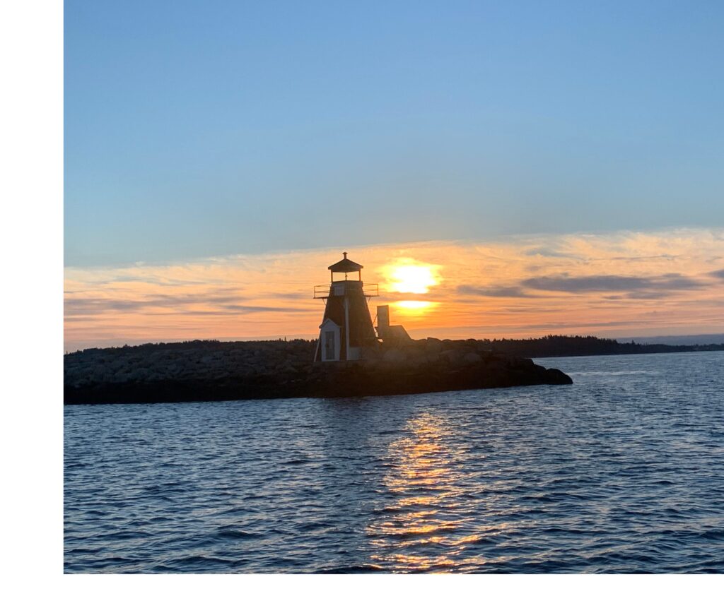
We departed Pubnico, NS on a sunny Sunday morning and turned our bow toward Southwest Harbor, Maine, approximately 100 miles west on the other side of the Bay of Fundy. The Bay of Fundy is known for spectacular beauty and an abundance of whales, but it also has the highest tides on Earth, up to 14.5 meters/48 feet. We do not have enough anchor chain, time, and quite frankly, nerve, to explore the area by boat, so we bypassed it completely. We estimated we would need 20 hours for the crossing to Maine, so we left just before noon, hoping to time our arrival for early morning, after daybreak. Well, you know what they say about best laid plans…

Peaceful crossing of the Bay of Fundy


We had ideal conditions for an overnight crossing, flat seas, sunny skies, but barely any wind. Wind would have been nice, but considering the rough conditions of some previous over-nighters, we were happy to comfortably motor through this one. We expected wicked currents funneling in and out of the Bay of Fundy, but what we did not expect were the added knots of speed that pushed us to our destination hours ahead of schedule. Normally arriving early is great, especially after a long trip, but unfortunately this increased speed meant we would be arriving in unfamiliar waters, in an unfamiliar harbour, as well as being required to check-in with US Customs in the wee hours of the morning, in the dark. Doing this would have been foolish and dangerous, so as we approached the Maine coast, we slowed the engine to a crawl and timed our arrival for daylight.

Approximately 10 miles from the Maine coast, we started seeing fishing boats lit-up like Christmas trees by their spotlights, doing their work. Although we gave them at least a half mile of space, at one point we came within a few feet of running over an enormous net tossed out by one of the boats. The boat did not hail us or react, they just went about their fishing and we kept moving toward land.

Maine coast on a drizzly morning

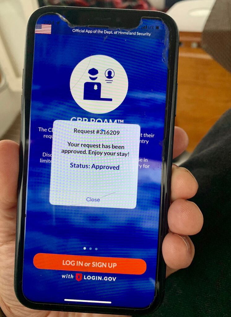
At 7am we dropped the anchor into 20 feet of water in Southwest Harbor, in the pouring rain. Checking-in with Customs was quick and easy using an app and as soon as we were cleared, we went straight to bed to get a few hours of sleep. The rest of the day was foggy, both figuratively and literally, so we went for a walk in the drizzle and ended the day with a Maine lobster dinner.

I love technology for easy customs check-in
Classic Maine dinner

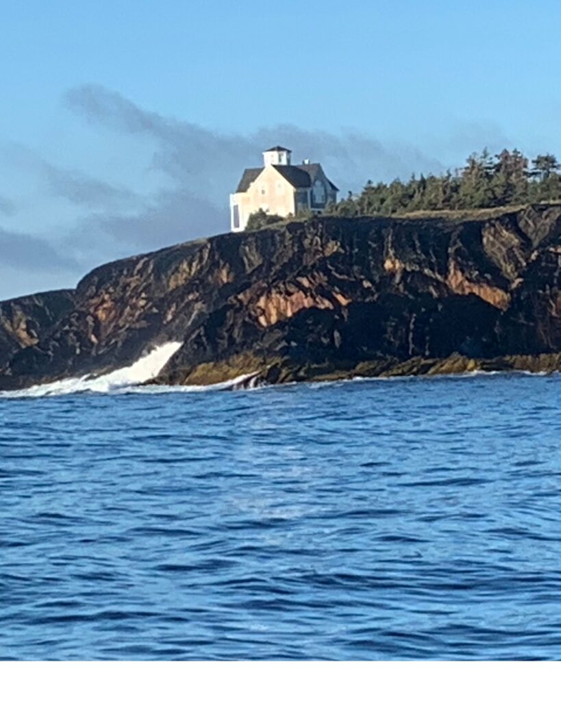
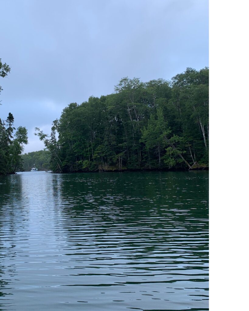
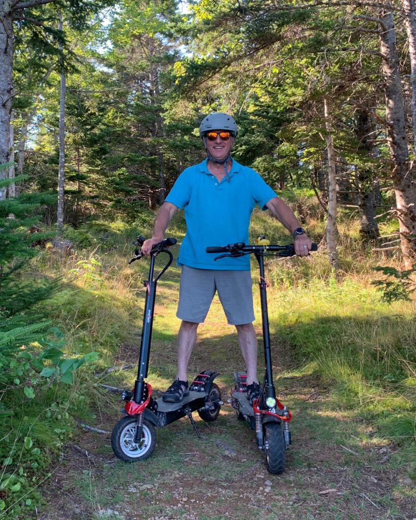
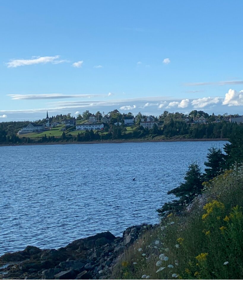
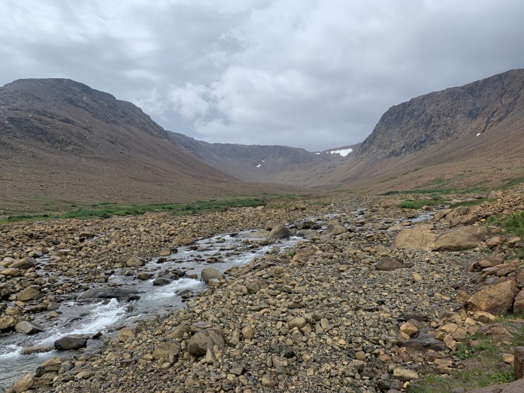
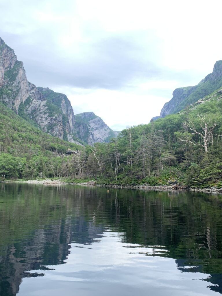
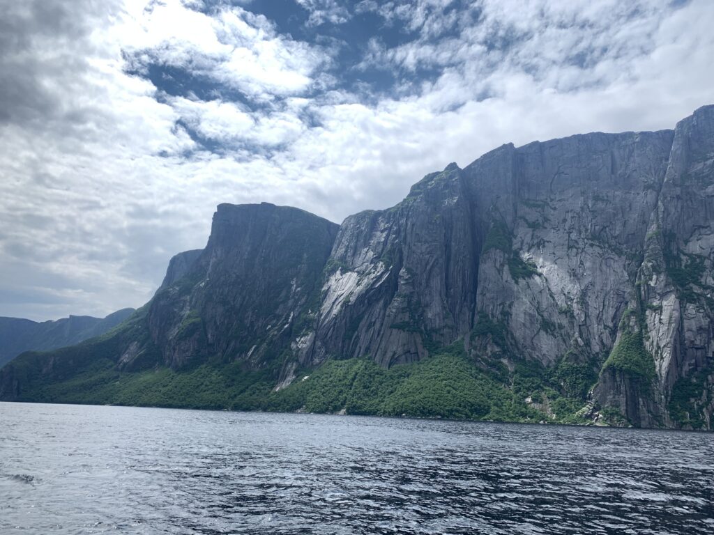
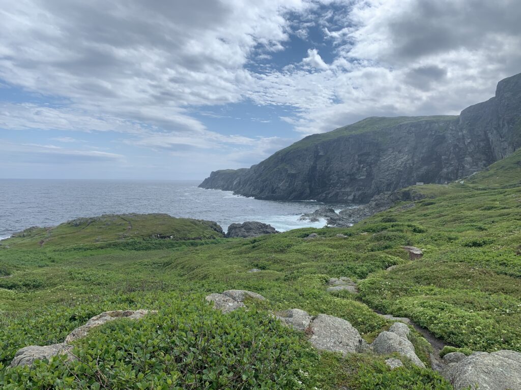
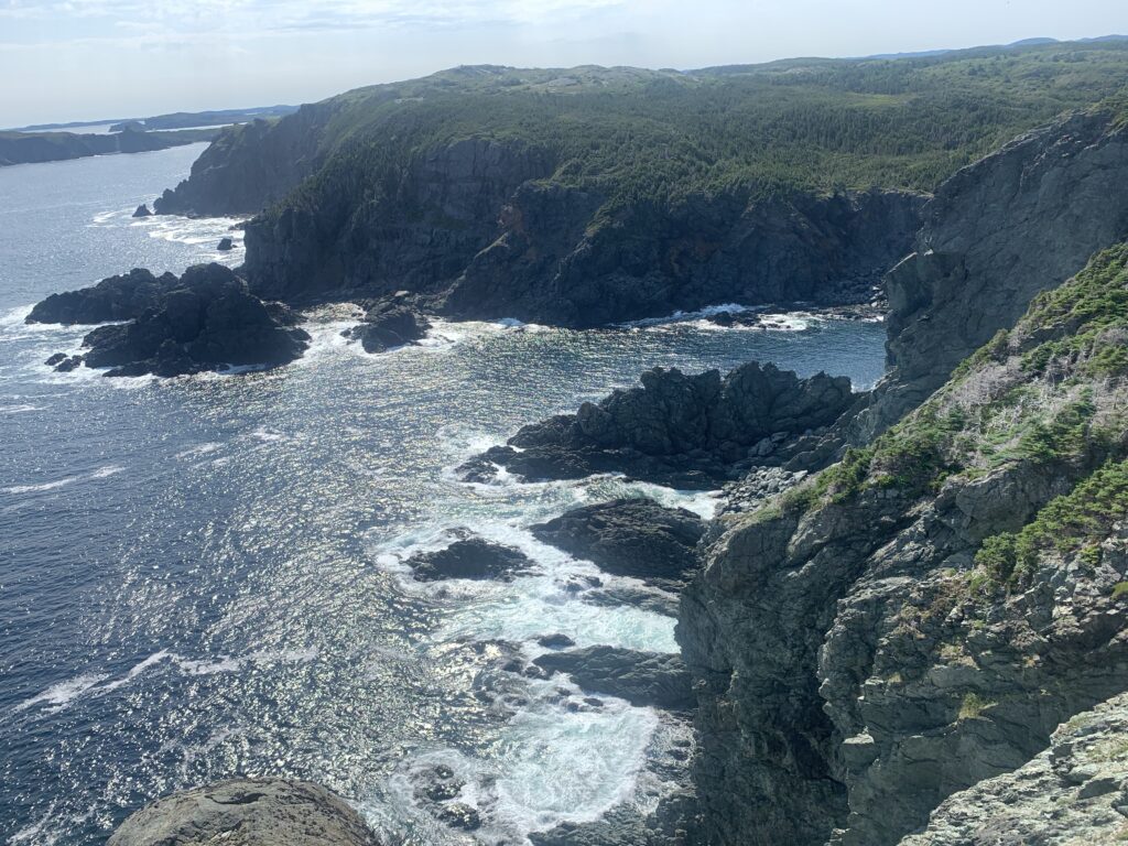
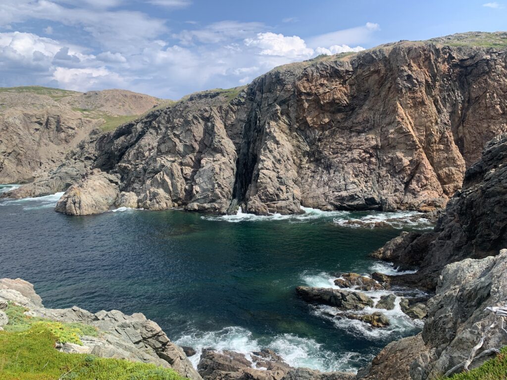
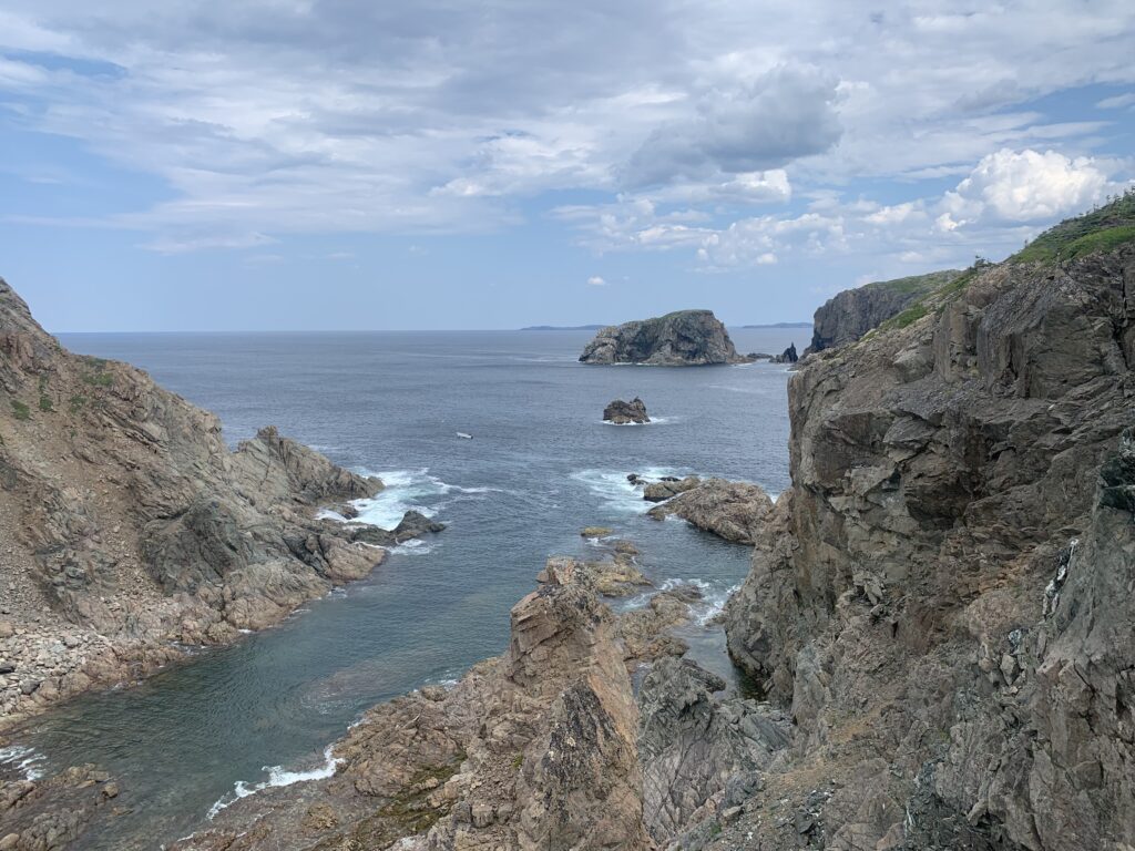
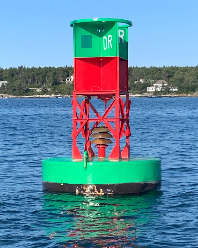
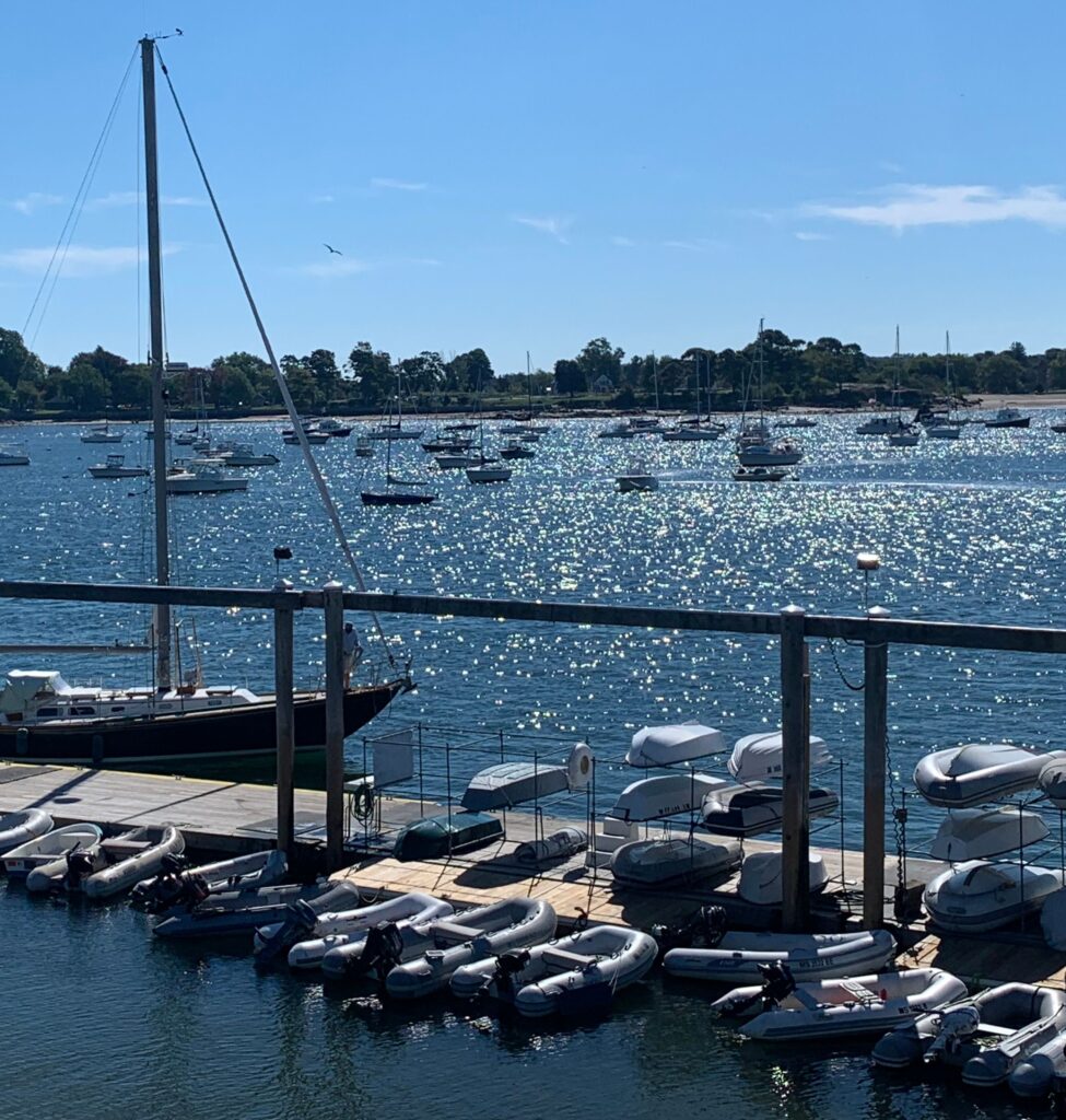
The next day brought sunshine and breathtaking views of Maine’s rocky coastline framed by mountains. It also made us hyper aware of the “minefields” we would be negotiating for miles to come – lobster and crab pots – by the thousands, in every conceivable expanse of water.

A minefield of lobster traps
Lobster fishermen at work
Lobster traps everywhere

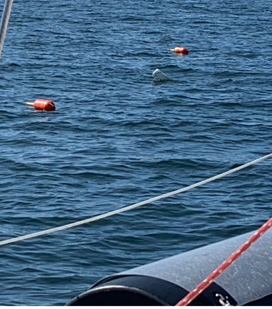
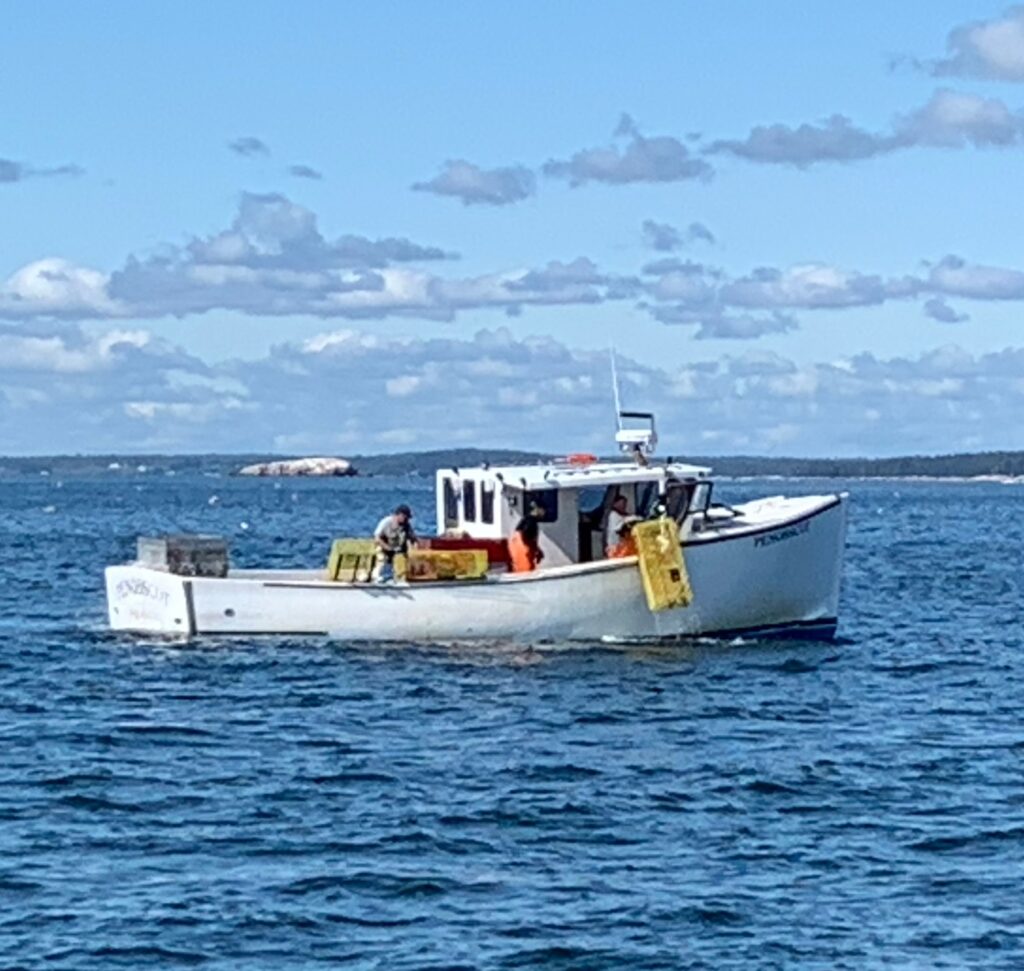
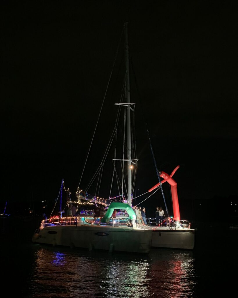
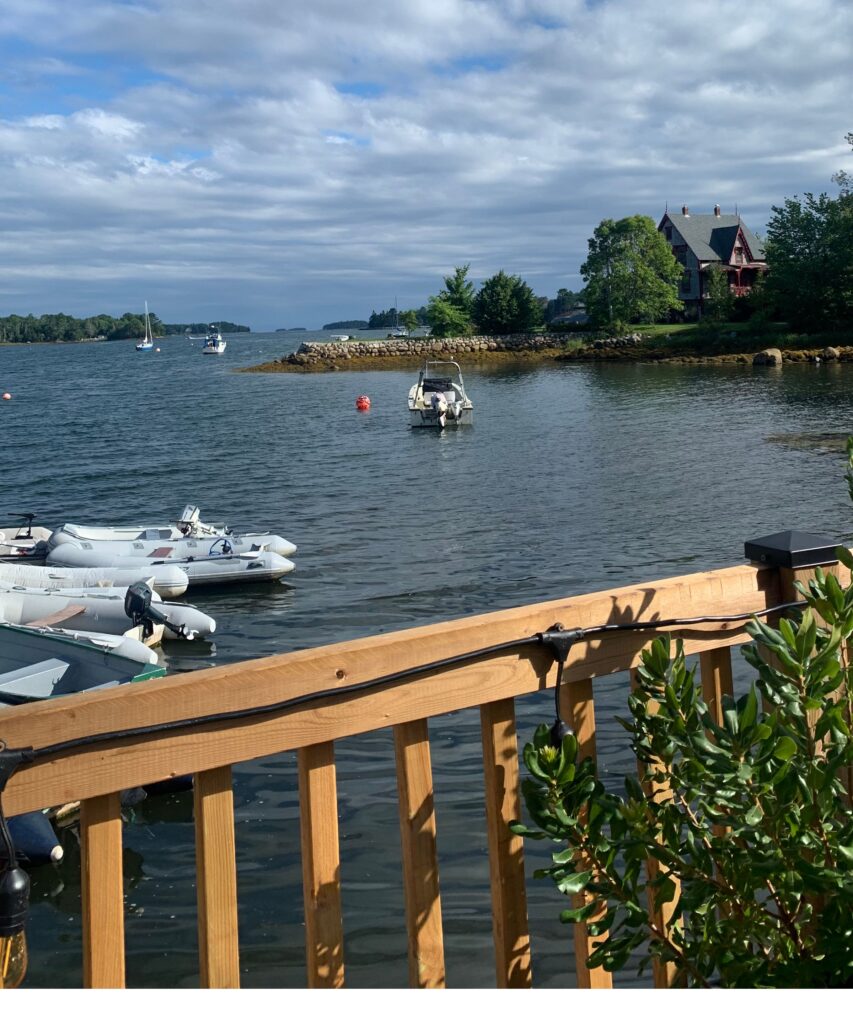
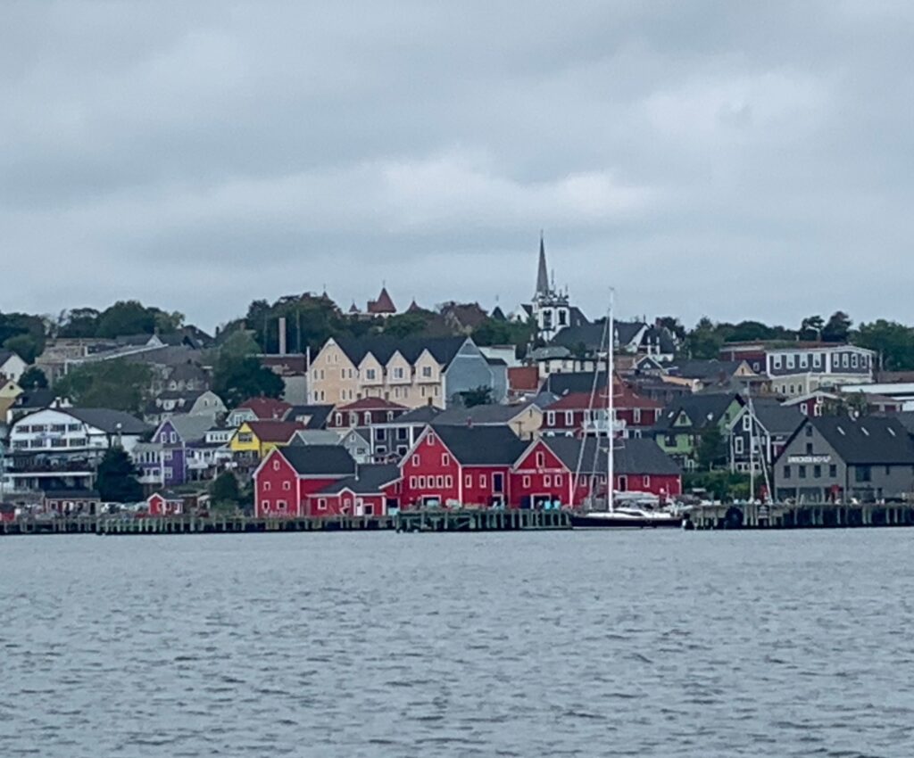
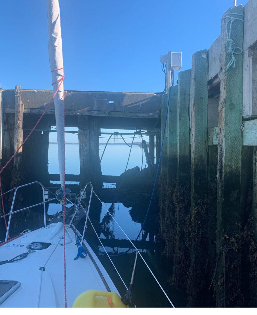
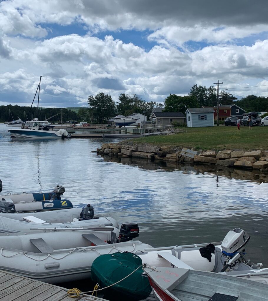
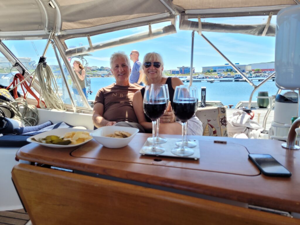
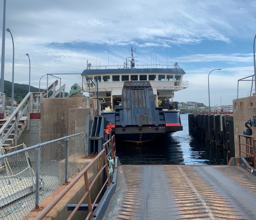
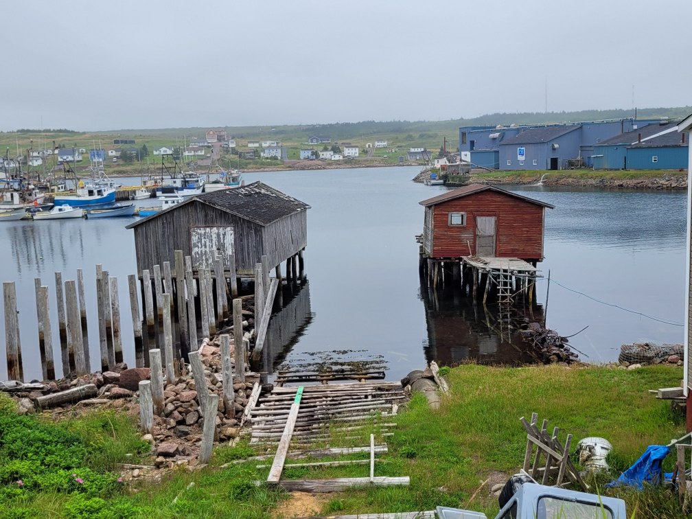
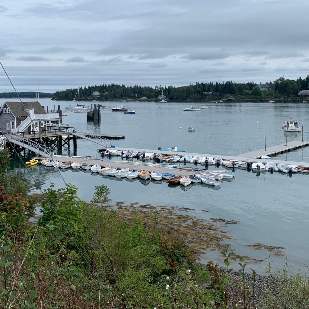
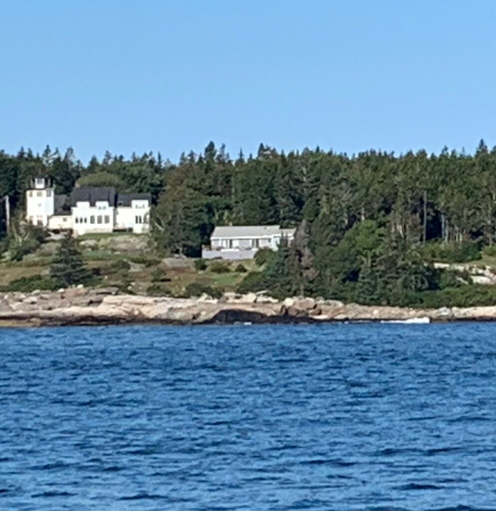
We travelled Maine’s coastline stopping in small towns along the way: North Haven, Boothbay, Portland and Kennebunkport. We anchored when we could, but it was challenging to find safe anchorages with Maine’s deep coves and 10-foot tides, and marinas are very expensive here, usually $3.50-5.00 per foot (multiplied by 42 feet = expensive!); however, we experienced our most expensive lesson yet – submerged lobster pots.

Marina in New Haven, ME
Interesting storage and docking moorings
Private bridge to mansion

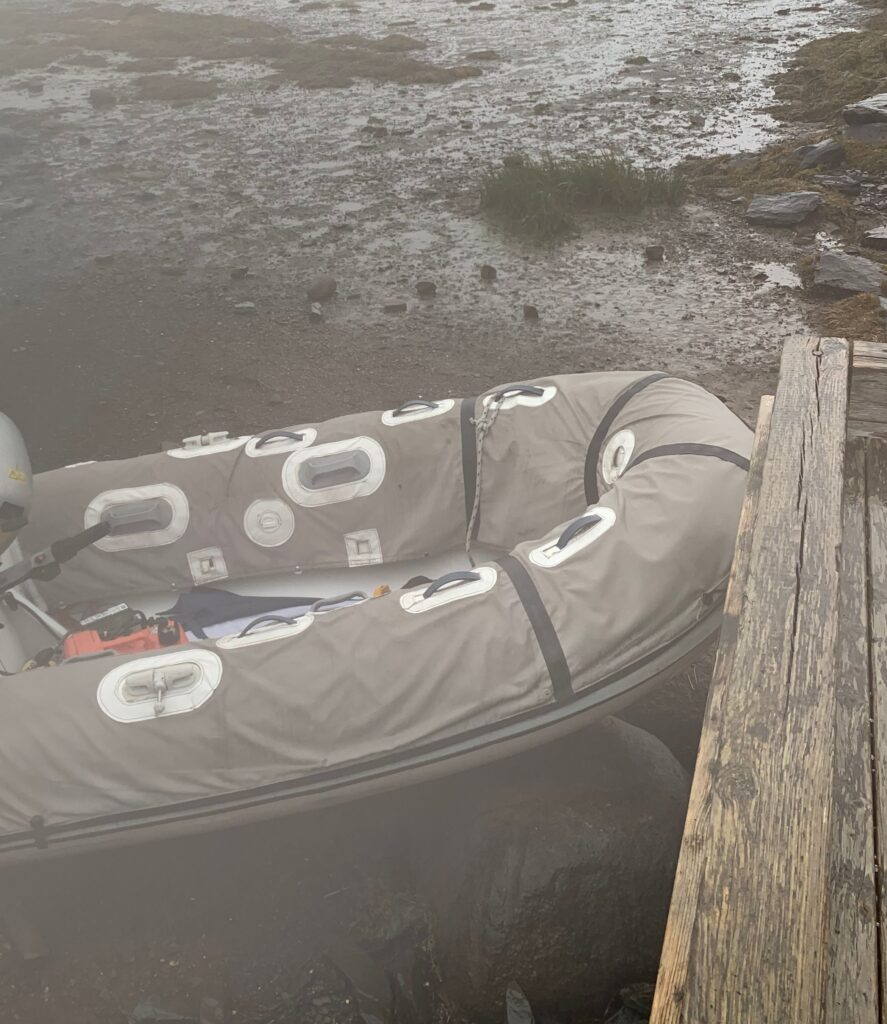
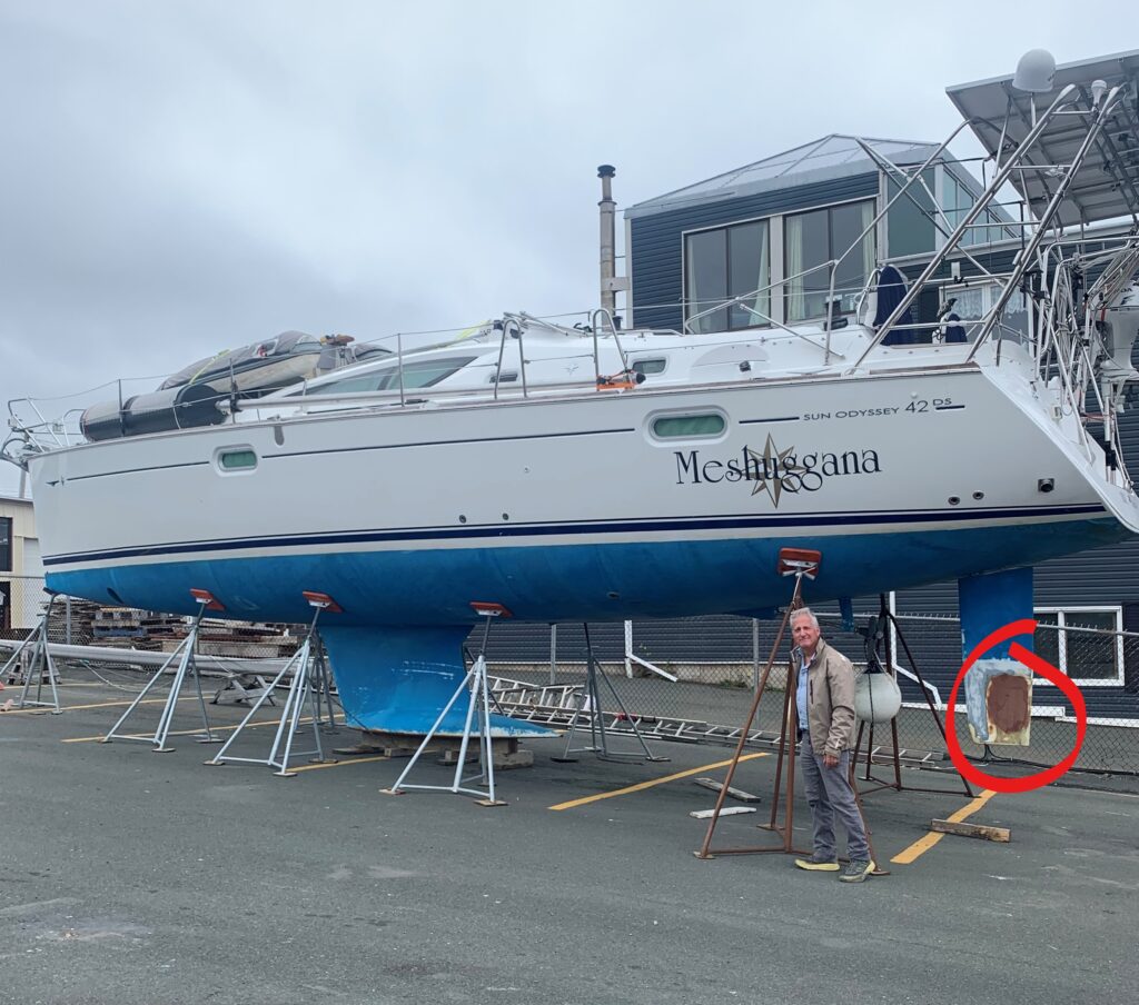
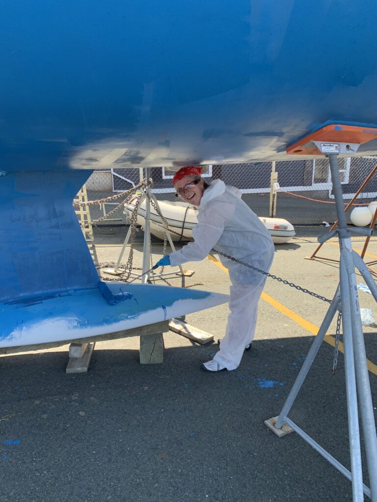
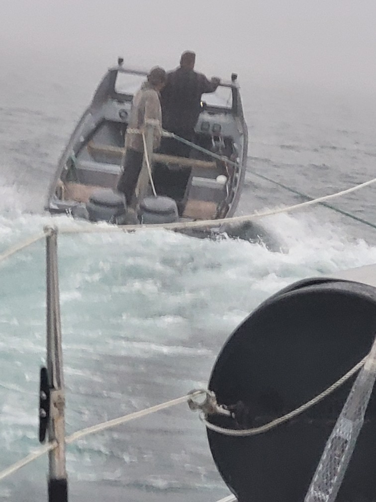
While traveling from Portland to Kennebunkport on a sunny day during high tide, we heard a sound no boater wants to hear – a thunk and a crunch from under the boat – we ran over a submerged lobster pot and its rope was wrapped around the propeller and rudder. We were dead in the water, with no propulsion and more importantly, no steerage – we cannot put up the sails when we cannot control the direction. We were relatively safe being a few miles offshore, but the waves were steadily pushing us in the direction of a rocky shore so there was no choice but to call a marine towing service and swallow the exorbitant price tag of 9-mile tow to the nearest port, Kennebunkport. Fearing we’d be on the rocks before the towboat could arrive, we dropped the anchor with 150 feet of anchor-rode into 50 feet of water and hoped for the best.

Channel marker – notice the gongs in the middle

Luck was on our side because after a little while we realized the wave motion cleared the rudder, but the propeller was still fouled. This meant we could raise our sails and despite wind being on the nose, we were able to slowly sail toward Kennebunkport, away from shore and closer to our destination. Two hours later the towboat arrived and towed us the remaining 4 miles to the wharf in Kennebunkport. A call to the harbourmaster got us a spot on the fishing wharf, near the harbour’s entrance, a safe place to spend the night and arrange for a diver to inspect the boat. In the morning a diver dove under the boat. Again, we got lucky – the obstruction was cleared and our hull got a clean bill of health. After reviewing the situation over and over, we’ve concluded there was nothing we could have done differently – watch for pots, and if you hit one, throw the throttle into neutral, listen for the crunch, and hope for the best. And buy towing insurance.

Mansions line the coast
Gorgeous Maine Lighthouse
Unique lighthouse with a bridge

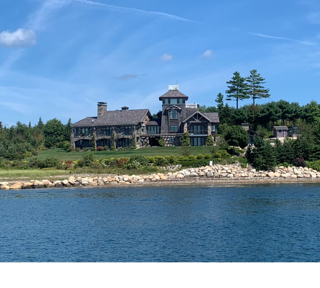
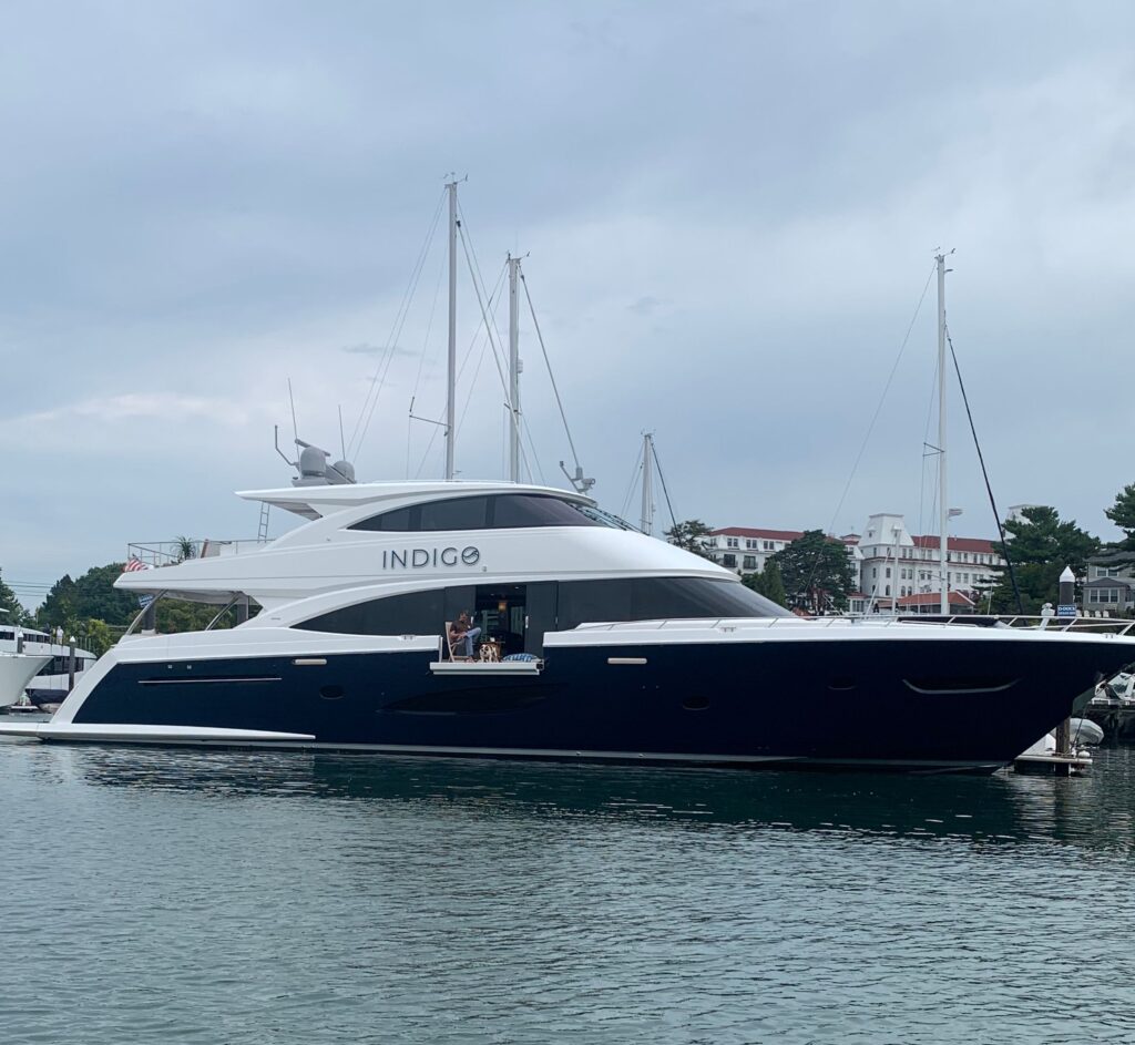
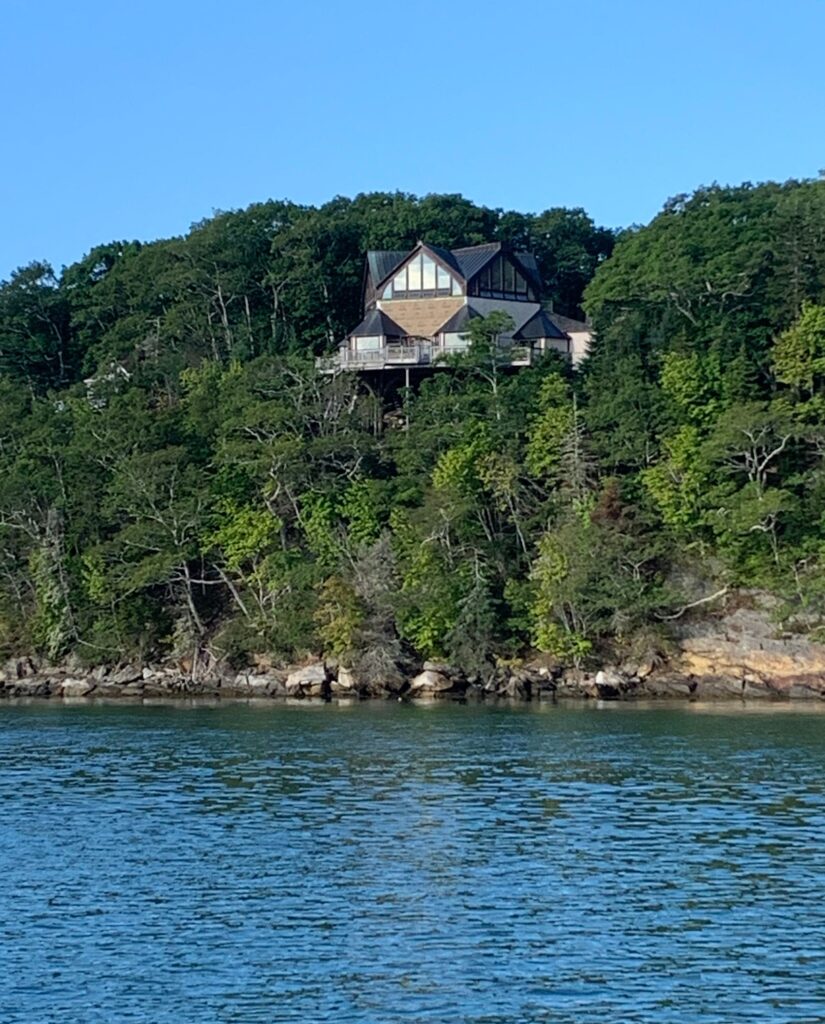
Our next stop after Kennebunkport was in Portsmouth, Hew Hampshire. Hurricane Danielle had already died in the northeast Atlantic, but Earl was still a strong storm in the mid-Atlantic. We were not in any danger from winds as Earl had moved well northeast of us, but the coast from Boston to Maine was under storm surge warnings. This brought us to Portsmouth where we were able to grab a mooring ball in the Piscataqua River and spend a couple nights safely enjoying viewing opulent New England seaside mansions and yachts.

Mega yahacts everywhere – see the guy sitting on his balcony, reading the paper?
Another mansion

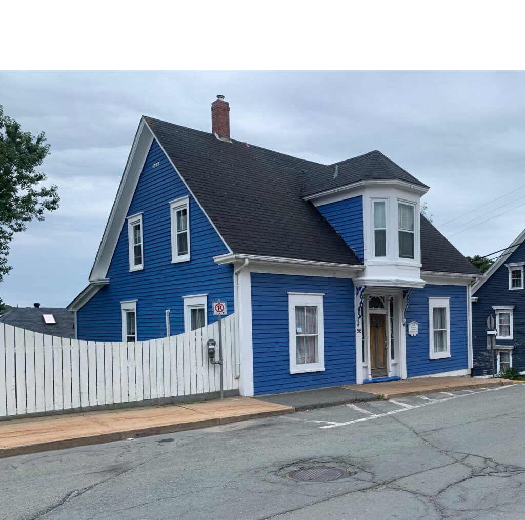
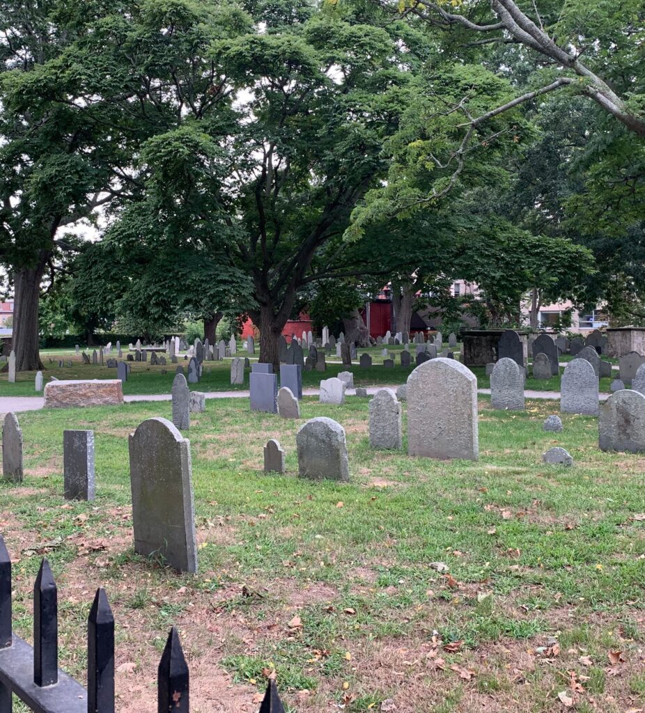
Our last stop before Boston was in Salem Sound and the four cities of Beverly, Salem, Marblehead and Manchester. Marblehead’s harbour is home to about 2300 mooring balls, most privately owned, but available to rent; however, we chose to stay in Beverly, primarily because of the yacht club with reasonable mooring ball rates and easy access to their harbour. From there we took a walk to nearby Salem, the place of the infamous Salem Witch Trials in 1692, when 20 innocent people were convicted and executed for witchcraft – 19 were hanged, 1 was “pressed to death” under rocks and several died in prison. Perhaps most tragic is that these people were accused by a few teenaged girls, who likely did it to seek attention. Fourteen years after the trials, one of the girls, Ann Putnum, apologied for her part in accusing innocent victims.

Memorial for the witch trial victims
Cemetary in Salem
Beverly Yacht Club, MA


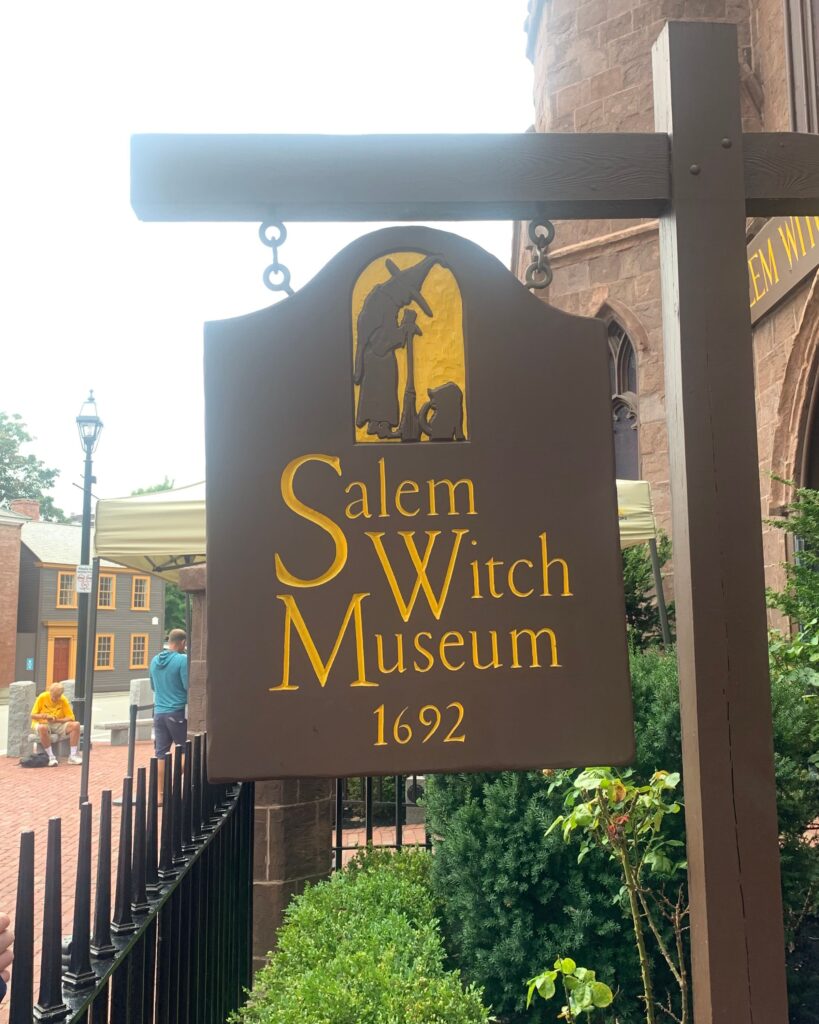
Despite this horrible chapter in its history, Salem has embraced its witchy past and is full of things related to witches and sorcery – shops with clothing, trinkets, parties and elaborate costumes. Salem is gearing up for October, with one bar advertising in its window “only 48 days until Halloween”. It’s a pretty town, with interesting architecture and a young vibe.

Our next stop is going to be a big one – Boston!

It’s not summer anymore!

Halifax and Bluenose Coast

Halifax, the largest city in the Canadian Maritimes, was a very important stop because we had a very long “to do” list and we needed time and resources.

In addition to the usual groceries, hardware store and laundry requirements, our to-do list consisted of some significant boat repairs, so we spent 3 nights at the Royal Nova Scotia Yacht Squadron (RNSYS).  The oldest yacht club in North America, this club certainly keeps the “royal culture” alive with solid floating docks, lovely gardens & grounds and a traditionally British clubhouse with restaurant and bar. RNSYS has the large number of gorgeous, blue-hulled Tartan boats, immaculately maintained by their owners (for you non-sailors – Tartans are the Rolls Royce of boats).

Arrival at RNSYS

We had several projects planned – Allen ordered and shipped parts to RNSYS, and we found a marine canvas shop who was able to do an emergency repair on our torn bimini, but what we had not expected and quite frankly is one of our greatest fears, was the fridge going on the fritz. Without daily access to ice or grocery stores, losing the fridge is a serious problem. To make matters worse, marine refrigeration technicians are rare and are usually booked up weeks in advance, so when our fridge got warm, we weren’t happy.  As luck would have it, a member of RNSYC is a fridge tech and was kind enough to squeeze us in between appointments and got us chilling again.  In just two days, all the repairs were completed, fridge restocked, clean laundry put away and we were ready to have a little fun.

RNSYC’s blue-hulled beauties

We wrapped up our visit to Halifax by playing tourist, starting with visiting Forest Lawn Cemetery, where over 100 victims of the Titanic’s disaster were laid to rest.

It was from Halifax, the closest city to where the Titanic sank on April 15, 1912, four ships were dispatched to search for survivors and eventually, collect victims. Most victims died from exposure due to the icy Atlantic waters, not from drowning, and the rescue ships and crew took great care to preserve whatever they could so that the victims could be identified. 209 bodies were recovered and brought to Halifax for burial, and each person, their clothing and any items on their person, were meticulously cataloged to aid identification. Many remain unidentified; however, in recent years, using modern technology, more victims have been identified, including the “Unknown Child”. 

J. Bruce Ismay, the Chairman and Managing Director of White Star, survived the disaster. He paid for this stone for a crew member
Gravestones of many unidentified Titanic victims
Grave of the Unknown Child, who has now been identified thanks to DNA and pair of shoes

Onward to some more light-hearted sightseeing, we spent an afternoon in downtown Halifax enjoying the typical bustle of a tourist town, taking in the views, sampling Cows ice cream and a local distillery.  It was great to see this beautiful city alive and vibrant with families and tourists taking in the waterfront. 

Halifax, bustling with tourists
Shipbuilding facility for Canadian Forces

Our last day in Halifax was wrapped up beautifully with Venetian Night back at the Yacht Squadron.  Nobody could tell us why they do it, but it’s a tradition on the last Saturday of August to dress up your boat with lights, banners, flags, umbrellas…. you name it….and go out in a long parade…..at least 50 boats, large and small joined the festivities.  Afterward we were treated to a fabulous fireworks show, front row seats, right from the cockpit of our boat. 

Venetian Night at RNSYS

It was time to keep moving and next up was the “Bluenose Coast” (or perhaps I should say “blue blood”) of Nova Scotia as we visited Chester, Mahone Bay and Lunenberg.  In addition to the specular natural beauty of rocky shores and dense forests, this coast is loaded with jaw-dropping mansions.  We’re told many are owned by wealthy east coast Americans, and the money is definitely “old”.  As we strolled through these towns, that are still quite charming and beautiful, we saw they have become major tourist traps. In Lunenberg there were at least 3 tour busses in town and every single restaurant had hour-long line-ups for lunch. I wonder if they will soon be like Venice, Italy, a victim of the tourist dollar, making the locals resent the very people that make it prosperous.  I certainly hope not.

Chester Basin
Lunenberg lighthouse at sunrise
Lunenberg mansion
Lunenberg
Lunenberg historic home

Lunenberg also provided a chance to meet some friends from Ontario, Peter and Zee, who moved to the area earlier this year.  We met for lunch and they graciously drove us to a larger town to fill a propane tank and pick-up some provisions; however, when we returned to our docked dinghy, we learned another valuable lesson – just because there is a public dock, do not assume it will be usable in low tide. Our dinghy was settled on large rocks at least 20 feet from the water. Nothing to be done except wait the 5 hours until it could float again.. Peter and Zee brought us to their home, fed us, and then took us back and helped carry the dinghy the final 5 feet to the water.

Sad dinghy, on the rocks

As August ended and September began, we felt the pressure as the seasons changed.  We were still enjoying sunny days and blue skies, but nights were getting cold and the Atlantic will not wait for long – Fall was coming fast and we needed to move faster.   As we moved southwest along the coast we began to plan another big crossing, across the Bay of Fundy, from Nova Scotia to Maine, USA.  This would be another overnighter, with just the two of us on-board, dealing with some of the strongest ocean currents and craziest tides on Earth.

Fishing boats, Pubnico wharf
How we get in & out on wharves
Low tide in Pubnico
Looking through the wharf at low tide (Pubnico)

Bras d’Or Lake

Next on our itinerary was the Bras d’or Lake, translated from French for “arm of gold”, a 100 km long and 50 km wide lake located inside of Cape Breton Island, Nova Scotia. The lake is connected to the Atlantic at both the south and north ends and it is also fed by freshwater rivers and the surrounding mountains, making it brackish and tidal. A few years ago, Allen and I attended a seminar on sailing the Bras d’Or Lake, so we were excited for this part of our journey.

Otter Bay

We entered the lake from the north, sailing with a strong current down a narrow channel. The scenery was beautiful – lush, green forested hills framed the channel while the 4-knot current swirled the water, creating mini whirlpools and pushed us along at an impressive 12 knots. We passed under the Seal Island Bridge, and tucked into Otter Bay, a small cove just past the bridge, dropped the anchor and launched the dinghy to explore even further.

Not concerned about clearing the Seal Island Bridge
Cat Stevens is ready to go on a dinghy ride

Next up was the popular vacation town of Baddeck (pronounced bah-DECK). There are many reasons to visit this charming town, including lots of small shops and restaurants, nearby beaches and camping, a well-stocked chandlery and most interesting for us, the Alexander Graham Bell Historic site. Bell was born in Scotland, grew up in Ontario, but spent most of his adult life in Baddeck. He is best known as the inventor of the telephone, but that just scratches the surface of Bell’s inventions and his incredible life and career as an inventor and educator for the hearing impaired.

Dinghy dock in Baddeck
A.G. Bell Museum aircraft
Baddeck
Baddeck gardens

The site, owned and managed by Parks Canada, houses a large museum with many examples of his inventions, original photographs, documents as well as models of aircraft he designed and built later in his life. The museum beautifully tells the story of the Bell family, how Alexander and his wife were deeply involved with the Baddeck community, lived out their lives here and are buried near their home on the Beinn Bhreagh peninsula. The Bell mansion is still owned by the Bell family and is not open to the public.

After one night in Baddeck we had some bad weather coming our way – strong wind warnings and we needed to get to a better protected location. We were fortunate to have some local knowledge on some safe places to ride out bad weather. Last summer in Newfoundland, we met Sue and Ron who live and sail in Cape Breton. They were incredibly helpful in suggesting anchorages not only for their beauty, but also safe harbours to ride out bad weather. We were not able to sail together this year, but they did drive out to visit us and brought veggies and blueberries from their garden – a wonderful treat!

Maskell Bay
Maskell Bay

When strong winds were forcasted, Sue suggested we head to Maskell Bay, just a few minutes by car from Baddeck and about an hour by sailboat. This bay is known as a “hurricane hole’ – a safe place to wait out severe weather. We tucked into the bay behind a sandbar and hunkered down for two days of heavy weather. The wind was fierce, and the rain was off & on, but the view was spectacular. The bay was big enough to shelter at least a couple dozen boats, but we shared it with only one other sailboat. The harbour is surrounded by densely forested hills dipping into a valley, and has a pretty lighthouse at its point. As a special treat, during the brief periods of it not raining, we watched a Bald Eagle hunting for its dinner (and kept Cat Stevens inside).

A storm brewing
Maskell Harbour rock wall
Maskell Harbour sunset

We anchored again at Marble Mountain and finally made our way to St. Peter’s, a small town at the end of the lake. While we usually prefer to anchor, we splurged on the marina in St. Peter’s because after a week of rough weather and isolated anchoring, we desperately needed hot showers, laundry and a restaurant meal. St. Peter’s had it all and we even did some scootering in the nearby provincial park.

Off-roading with the scooters

As we exited the lock in St. Peter’s we were back in the Atlantic and we needed to get some miles behind us. Summer was quickly drawing to a close, the hurricane season has begun and we need to get south. The next big stop was Halifax, but we needed to put in 3 long days of sailing to get there.

Draw bridge in Bras d’Or
Lock at St. Peter’s
St. Peter’s Lighthouse
Town of St. Peter’s


The Nova Scotia shoreline is very different from Newfoundland. We have become accustomed to the soaring mountains and cliffs of Newfoundland, so Nova Scotia presented a new learning – rock dodging. Nova Scotia is green, lush and while it has hills and rocks, it is much flatter than Newfoundland. However, the rocky shoreline extends far offshore into the ocean, so it is not unusual to be sailing several miles off-shore and to see rocks and shoals awash. They are well-marked and appear in charts, but this is not the place to take your eyes off the charts. Another new factor was the distance required to travel to reach safe harbours. It was at least an hour of travel time just to get inland to reach our anchorage.


We had an interesting experience on our first evening after leaving St. Peter’s. After traveling over 7 hours on a rollie ocean, then another hour to reach Larry’s River, a bay where we planned to anchor, we discovered the bay was not suitable for anchoring. This is rare, but a pretty bad situation, being tired, daylight running out, and not having a safe place to spend the night. I spotted a wharf with a commercial fishing boat in the distance, so we gave it a try. There were a couple buoys at the head of the channel, but none as we entered the channel. As Allen watched our depth suddenly decrease, I noticed new channel markers – DEAD TREES planted in rows leading to the wharf. Not feeling overly confident, but running out of options, we motored on very slowly. We reached the wharf without incident, tied-up up and hoped we had not taken anyone’s spot. A couple more fishing boats came in behind us, they were friendly and docked on the other side of the wharf telling us we were welcome to stay put for the night, but warned us to leave at high tide because of the channel depth. We set an early alarm, slept well and pushed-off the wharf at first light of morning, but not before collecting a gift that was left on our doorstep with a note: “From the The Redhead in Larry’s River – have a good trip.” We love Nova Scotia!

From the Redhead in Larry’s River


Bonjour France and Hello Nova Scotia

St. Lawrence left us feeling refreshed and ready to resume our sailing adventures. Our next destination was only a 6-hour sail away, but it was literally a new country – St. Pierre & Miquelon, France. These small islands are only 12 miles off the shore of Newfoundland. France reclaimed the islands in 1815, and they have remained French ever since, primarily to its rich fishing grounds. We had hoped to sail to St Pierre last year, but because of the pandemic we would have needed to provide a negative covid test to enter the country, and then another test to return to Canada. Since this was not practical, we skipped these islands and put them on this year’s itinerary.

Approaching St. Pierre


Visiting St Pierre & Miquelon was a much-anticipated event for me. I began researching details about the islands months ago and learned we needed passports to enter, Cat Stevens needed proof of rabies vaccination as well as a recent health certificate from his vet, the islands use Euros and 220v electricity. I also read that the food is amazing, especially the patisseries, and the French wine and cheese is cheap and plentiful because daily flights from France deliver French products.

Hoisting the French courtesy ensign


We arrived at 3pm on a sunny Saturday afternoon, after a beautiful easy sail from St. Lawrence and docked at the main wharf near the customs house. The island is gorgeous – mountains running into the sea and a charming village with quaint, brightly colored homes built into a hillside. We couldn’t wait to get off the boat and go explore it, but first, we needed to check-in with Customs & Immigration.
We ran up a yellow quarantine flag and waited for the officials to arrive. Soon an immigration officer arrived and we were checked-in without any hassle. We exchanged the quarantine flag for a French courtesy flag and opened a celebratory bottle of wine. Then the Customs officer arrived. We hadn’t expected two visits, but we offered him a glass of wine (he declined), he asked some basic questions in reasonable English, then he requested to see Cat Stevens – it turns out he was a cat lover! Best customs check-in ever!

Best customs check-in ever!
Cat Stevens enjoying the St. Pierre sunshine while it lasted

Then he dropped the bomb – it was Saturday afternoon, and everything was closed until Monday. And he meant EVERYTHING…stores, restaurants, coffee shops, gas station, ice cream stands… This island just shuts down every weekend. Unfortunately, our anticipated gourmet French meal was gone, but we still had plenty of food on-board and found a “rogue” wine shop open, so we had a home cooked meal with some excellent French wine.

St Pierre coastline
Fantastic French wines!
Typical brightly colored houses
Winch system to haul boats


I had such high hopes for St Pierre, but it left me disappointed. I knew the islands were French, but I was hoping its proximity to Canada and the United States and their main, perhaps only, industry is tourism, St Pierre would have catered to tourists, just a little bit more, perhaps by opening restaurants and a shop or two on a Saturday evening, or not shutting down entirely for 2 hours every weekday afternoon. Even small European towns in Latvia, Italy and Croatia do a better job of taking care of the hand that feeds them, so it’s a shame St. Pierre has held on to outdated traditions instead of embracing hospitality.

View from the top
Dan


The last leg of our adventure with Dan & Hazel was a big one – crossing the Atlantic to Sydney, Nova Scotia. I was a little sad knowing that I won’t be returning to Newfoundland anytime soon, but new adventures awaited.
We left St. Pierre on a cloudy morning and pointed the bow to the southwest. We spent 28 bumpy hours at sea, and while not exactly comfortable, we did not experience any mishaps. We preplanned easy to heat & eat meals, divvied up the night shifts, slept when we could, and the morning presented the Nova Scotia shoreline. Upon arrival in the Port of Sydney, two customs officials boarded the boat to check us back into Canada. They were courteous, friendly and had good chuckle when I told them we had nothing to declare because there was nothing to buy in St Pierre (other than wine, if course).

Giant fiddle in Sydney, NS


We spent the next two nights in the Port of Sydney exploring the old downtown, visiting artsy boutiques, eating the freshest seafood, saying farewell to our friends aand getting ready for the next adventure – the Bras D’Dor Lakes.

In Sydney, memorial to those lost at sea
Enjoying a patio
Port of Sydney, NS

Hello Meshuggana!

When we last saw Meshuggana in September, she was perched on jack-stands in the parking lot of the Royal Newfoundland Yacht Club. Hurricane Larry did a number on her, bending and snapping two stanchions and taking a bite out of her rudder. Allen removed the damaged stanchions and brought them back to Toronto to repair himself, and we hired a local fibreglass expert to repair the rudder. We were satisfied with the repairs and thought all she would need was a coat of bottom paint and a good cleaning. We were wrong.

Rudder repaired
Applying bottom paint

Newfoundland can be punishing in winter and unfortunately, Meshuggana felt its wrath. It is common practice in Ontario to shrink-wrap boats for winter storage, to protect them from the elements and UV damage. What we did not know last Fall was that the opposite is true in Newfoundland – shrink wrapping is not recommended.
Newfoundland winters come with strong winds and often massive amounts of snow. The wind and snow-load exerts immense pressure on the shrink-wrap and the supporting wooden structure underneath the wrap. The pressure on the shrink-wrap and frame that was installed in the Fall (for $1000!) caused two more stanchions to bend, with one being pulled right out of the deck. To make matters worse, the damaged wood frame punctured the dinghy, which was stored on the deck. We had a lot of work to do to make Meshuggana sea-worthy again. Fortunately, Allen has the skills and with some help, he was able to get the parts, tools and resources to get her in the water on schedule.
Back in January when we began to think about driving to Newfoundland, but first we had to overcome two major obstacles: one-way car rentals are crazy expensive, and while Cat Stevens is a natural sailor, he gets violently car-sick. We needed to figure out a plan to return our vehicle to Toronto and not torture the cat for 3 weeks. We found the perfect solution!


My sister Inese and her husband Arnis have talked about taking an East coast road trip. They love Cat Stevens (and he loves them) so we came up with a plan: Cat Stevens stays with his “aunt & uncle” while Allen and I drive to Newfoundland 2) Inese, Arnis and CS fly to St. John’s 3 weeks after we leave 3) they give us the cat and we give them the vehicle for their East Coast road trip! It worked out perfectly and an extra wonderful bonus was spending time with family as well as their great help with getting the us and the boat prepped for our journey.

Cat Stevens back in his happy place
Family!

On July 28, Meshuggana was ship-shape and splashed into Conception Bay, ready for new adventures. The first adventure was on Bell Island, very close by in Conception Bay.

Ferry to Bell Island


Bell Island is just a 20-minute ferry ride from the mainland, so we visited while we still had a vehicle. The island is famous for its iron-ore mines, that produced some the of purest product, 53% iron-ore, from 1895 to 1969 when they were closed and sealed. Bell Island has a rich history as well. During WWII, 4 ships were torpedoed and sunk in the harbour by a German U-Boat, to disrupt iron-ore shipments to US and UK weapons factories.

Two of four ships sunk by a
U-boat
Original letter of commedation, donated by the U-boat captain’s daughter, signed by Adolf Hitler
The U-boat and its Captain


Twenty years ago, Mine #2 was re-opened as a museum and tourist destination, with the tour taking us 650 meters down under the ocean. The shaft was closed in the 1940’s and was not modernized with electricity while still in use – it now has electric lighting and gravel pathways for tourists. Our tour guide, Brian, had two grandfathers that worked in that mine for decades, so he shared with us some incredible personal stories of life as a miner.

Electric lights added only after it was opened to the public
Underground stable for horses that moved ore carts to the main rail
Candles were the only light source for decades
Air was pumped in and water was pumped out


On July 29 we embarked on a 6-hour sail around Cape St. Francis to one of our favourite cities, St. John’s. This time the sky was blue, the sun was shining, and the city was alive with tourists – even a cruise ship was in port. We were looking forward to the arrival of our friends from Toronto (and fellow ABYCers), Dan and Hazel coming to join us for two weeks of sailing adventures.
We departed St John’s on an uncharacteristically sunny day, retracing our path from last year, passing Cape Spear (the eastern most point of N America), the rugged Newfoundland coastline and were treated to several whale sightings and many, many puffins, on our way south.

Uncharacteristically sunny St. John’s
Ships in St John’s Harbour

We loved sharing some of our favorite ports with our friends and giving them a taste for Atlantic sailing (it’s not Lake Ontario!), but we were not expecting a major problem – engine failure. After spending a peaceful evening at the wharf in a small fishing village, St. Bride’s, we set out for a 12-hour sail across Placentia Bay. Conditions were rough, but we needed to beat a worsening weather window. About an hour into a bouncy ride, the engine sputtered and stopped. We had a big decision to make – turn around and return to St. Bride’s, a town with no resources, or keep going to our original destination, across a large bay, to St. Lawrence. We are a sailboat, so we put up the sails and moved forward.
Discomfort and stress was high, wind was just off our nose and 2-meter (6 foot) waves were crashing. Then the fog rolled in making visibility nearly zero. We focused on keeping the sails full, the boat steady, taking naps and trying to keep morale up. For most of the distance we had no internet or cell reception, but the moment we got a signal, I called the St. Lawrence Harbour master to request a tow once we reached their shore. Newfoundlanders to the rescue again! After almost 13 hours at sea, with zero visibility and 5 miles from shore, Brian, an off-duty paramedic with his friend Derek, came out to tow us to shore and safety. Once we were safely tied up to the wharf, we asked Brian what we owed him. His answer – nothing! We gave him a bottle of Appleton’s rum, which he graciously accepted.

Being towed to St. Lawrence in heavy seas


Allen diagnosed the reason for engine failure – dirty fuel. Allen again had the skills and resources, and with Dan’s help and a long, hot day dealing with smelly diesel tanks, polished the fuel and got the engine running. Relieved everything was good, we took a much needed land break and did some hiking, blueberry picking and even experienced St. Lawrence’s Come Home Weekend, a reunion weekend when former residents come back home for a weekend of concerts, games, fireworks and family fun.

Come Home weekend celebrations
Families enjoying the festivities
St Lawrence fishing shacks
Leaving St. Lawrence
Blueberries!
Cod fishing!


St Lawrence let us fix the engine and recharge our own personal batteries, and after 3 beautiful nights in port, our next designation was calling – France!

Hello Newfoundland….we’ve missed you!

Last year we sailed from Toronto to Newfoundland, an 1800 km, 4-month journey down the mighty St. Lawrence River, across the Gulf of St Lawrence, into the Atlantic Ocean and eventually landed in Conception Bay, Newfoundland. We visited big cities, small towns and outports with less than 25 residents. We learned how to anchor with tides and katabatic winds, how to scramble up and down wharves and use fender boards. We experienced some of the best that Canada has to offer: fjords, whales, rolling hills, blueberry fields, Newfies, and even a bit of the worst, as we weathered Hurricane Larry. It was truly the best journey of our lives, and we couldn’t wait to continue our adventures this year.

This summer our adventures continue as we make our way south from Newfoundland, exploring more of the Canadian Maritimes and now that borders are open again, continue south down the US Eastern Seaboard eventually arriving in Florida and then the Bahamas.  But before our sailing adventures could begin, we had some unfinished business with Newfoundland. 

Last year we fell in love with The Rock, a small, magnificent province with its own time zone and needed to see more of it.  Circumnavigating Newfoundland by sea would have taken us further into the North Atlantic Ocean than we wanted to go (it’s really cold and rough) and would have taken us the entire sailing season. So, during a blustery Toronto January, we hatched a brilliant plan – let’s drive to Newfoundland!

Rocky Harbour is a town in Gros Morne. We travelled about 2500 km across this lovely province.

In early July we filled every inch of our pick-up truck with gear, tools, supplies and headed east.  Three days and one ferry ride later, we arrived in Port aux Basques, NL, the same port we landed in last summer after a 25 hour crossing of the Gulf of St Lawrence.  It felt almost as fantastic as it did last year!

Entering the “belly of the beast” – a gigantic Marine Atlantic ferry took us from Nova Scotia to Port aux Basques, Newfoundland

We allowed ourselves two weeks vacation to tour the western and northern coasts of Newfoundland before heading to Conception Bay and begin preparing the boat for launch.  Newfoundland winters are not kind to boats and Meshuggana sustained some damage and needed repairs; however, Allen has both the skills and tools to fix her up, but we needed to reduce our itinerary to meet our scheduled launch date.

Gros Morne National Park

Gros Morne views

The three days we allotted to Gros Morne were barely enough to scratch the surface of what can be seen and done here. The park, a UNESCO World Heritage site, is located on the west coast of Newfoundland and covers 1805 square kilometers, and is best known for two unique features: The Tablelands and Western Brook Pond.

Tablelands of Gros Morne
Ridge at Tablelands

The Tablelands are one of about a dozen places on this planet where the Earth’s mantle is exposed, and it is here where the theory of plate tectonics was confirmed.  Millions of years ago tectonic plates collided and pushed mantle rock up through the Earth’s crust, forming a mountain range of red-orange metallic rock. Thanks to the UNESCO designation, The Tablelands are the largest and best preserved locations of mantle rock.  Fun fact – the Mars Explorer was test driven here before being sent to Mars.

The rocks in the Tablelands are actually blackish-green, but they oxidize due to high metal content and turn rusty on the surface. In this photo, a the small rock is broken open, exposing the black inside.

Western Brook Pond is a long lake surrounded by the soaring cliffs that make-up the most northern part of the Appalachian Mountains. The steep 2000-foot rock walls, carved by glaciers, are estimated to have been higher than the Himalayas at one time. Although Western Brook Pond is commonly called a fjord, technically it is no longer a fjord because 8000 years ago land filled-in and cut it off from the ocean, creating a freshwater pond (water in “real” fjords must be saltwater). The freshwater pond is fed by rain and snow melt from the mountains and the water is so pure it does not conduct electricity (no ions) and it takes approximately 15 years for the water to turn over.

Pissing Mare’s Waterfall in Western Brook Pond

The end of Western Brook Pond
Soaring 2000 feet, the walls of Western Brook Pond

St. Anthony and L’Anse aux Meadows

You can find St. Anthony after a 5-hour drive straight north from Gros Morne, along the rocky shoreline.  There is only one road that goes there and until the 1960’s, this part of the province had to rely on dog-sleds to deliver their mail in the winter. The area is breath-taking – rocky cliffs with very cold-looking Atlantic waves crashing the shoreline and dense pine forests. 

St Anthony feels like the end of the world

Allen enjoying the crashing waves near St Anthony

A 20-minute drive from the town of St Anthony, is L’Anse aux Meadows, the location of the first authenticated Viking settlement in North America and the very first site designated as a UNESCO World Heritage Site.

Recreated Viking buildings
Viking forge

Vikings lived here approximately 1000 years ago and was likely a basecamp for Norse exploration of North America. Evidence shows they interacted peacefully with indigenous peoples, engaging in trade. The Norse brought with them iron and bronze weapons and tools and built forges to work with metals; however, it appears they never offered metal objects for trade. They remained for about 20 years before packing-up their valuables, including the bones of their dead, and then torched the buildings as they left in their boats.

Twillingate

Twillingate, on the northern shore of Newfoundland, offers spectacular hiking along rugged coastlines, up and down mountainous cliffs, through beaches and forests. We laughed that Newfoundland does not baby their hikers as most trails are barely marked and if it was described as “moderate”, be prepared to do some rock climbing. Hiking boots, sunscreen, water bottles and snacks are a must because most hikes are several kilometers (and hours) long. An added bonus to our hikes was free whale watching – we saw many Humpbacks and a pod of Orcas from shore. Our 3 days in Twillingate were among the best ever.

Hiking and whale watching from the shores of Twillingate
Breathtaking views near Twillingate

Twillingate
More scenes from hiking in Twillingate

After putting on nearly 2500 km, we concluded our Newfoundland vacation in Conception Bay and began work on Meshuggana. We spent long days cleaning, painting, sanding in unseasonably hot weather and after a week, she “splashed” and a new sailing season has begun.