Hello Bahamas!

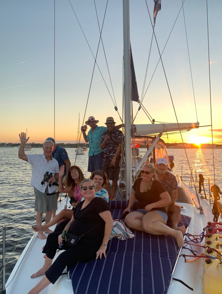
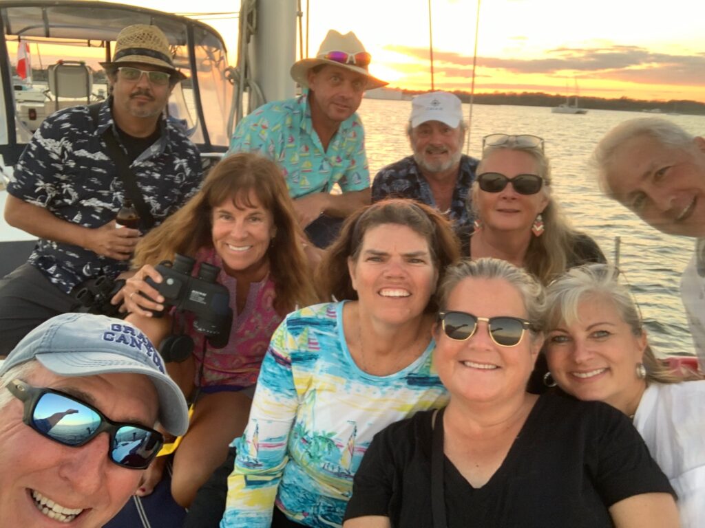
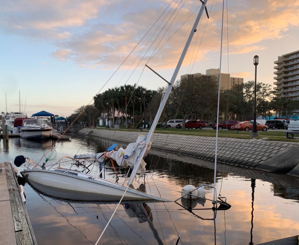
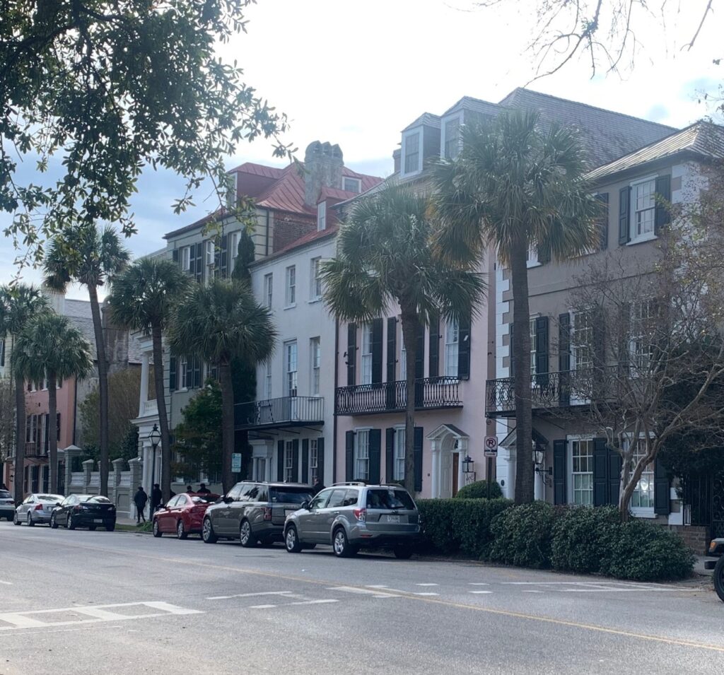
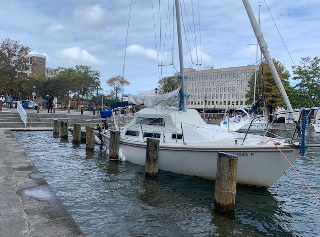
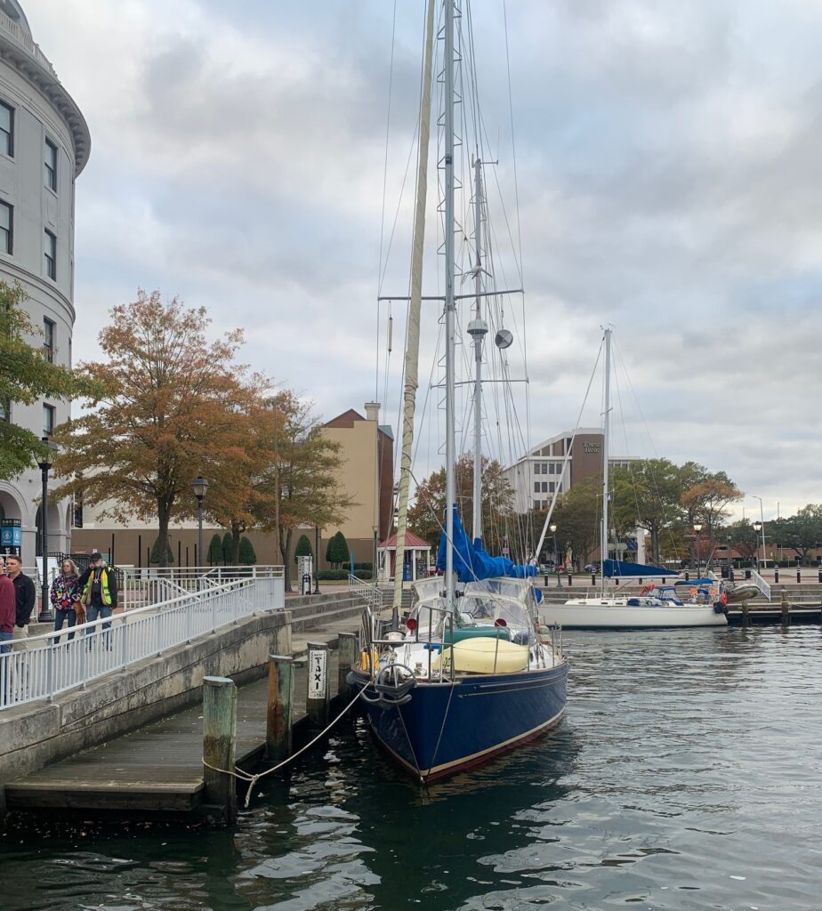
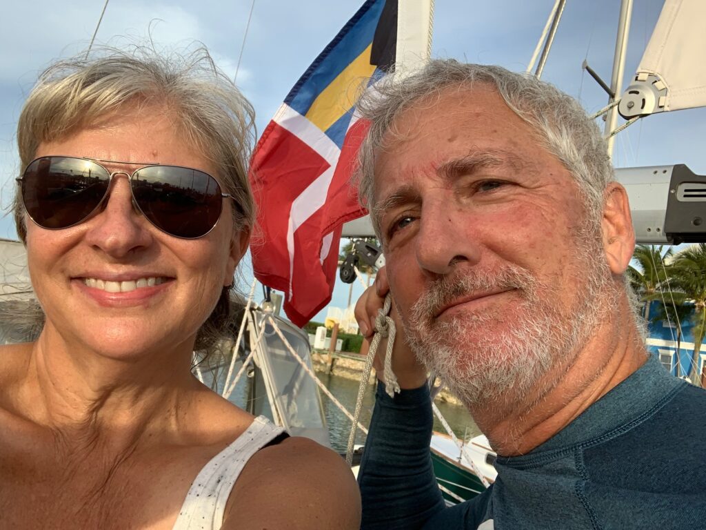
I’ve been waiting for so long to say that! Our Bahamas dream began 10 years ago when we sold our Hunter 28.5, Hakuna Matata, and flew to Chicago on a cold November day to purchase Meshuggana. We spent the next 9 years learning every inch of this 42-footer, updated virtually every feature and system on her, took her through 4 Great Lakes (we ran out of summer before we could get to Superior) and when the pandemic kept the border closed last year, we sailed her down the St. Lawrence River to the furthest eastern point of North America, St. John’s, Newfoundland.

Our journey

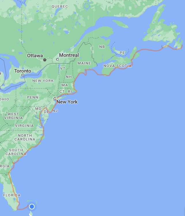
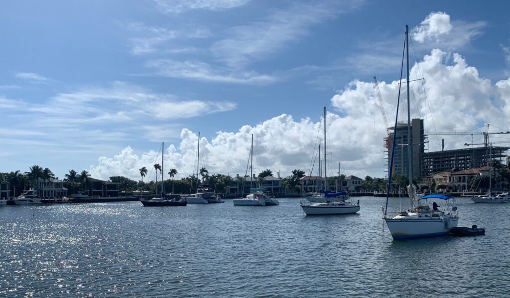
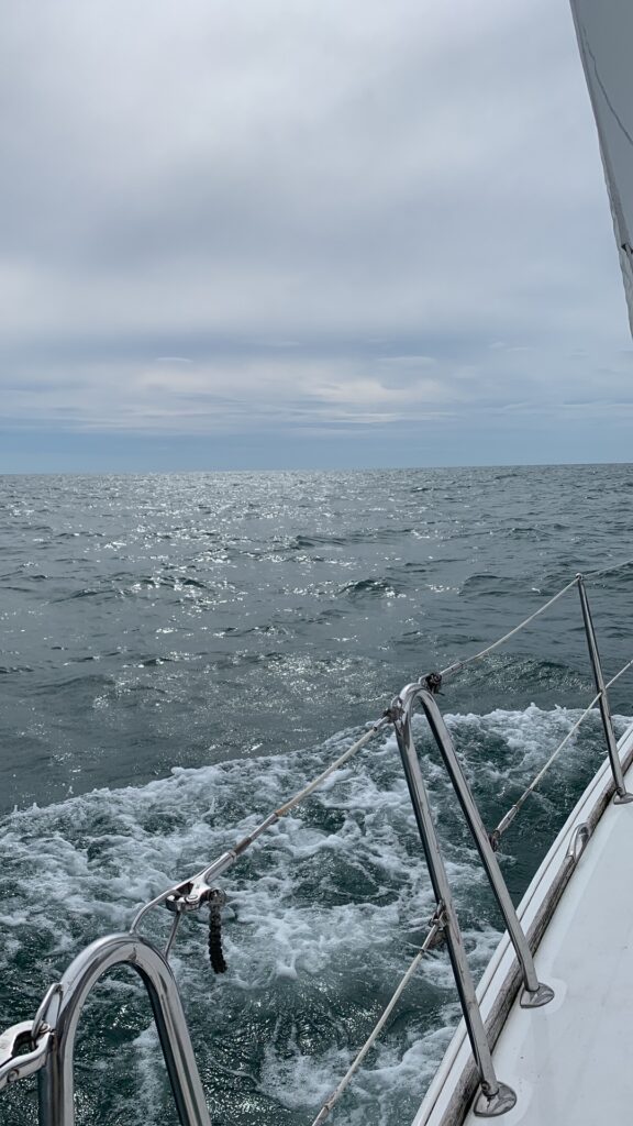
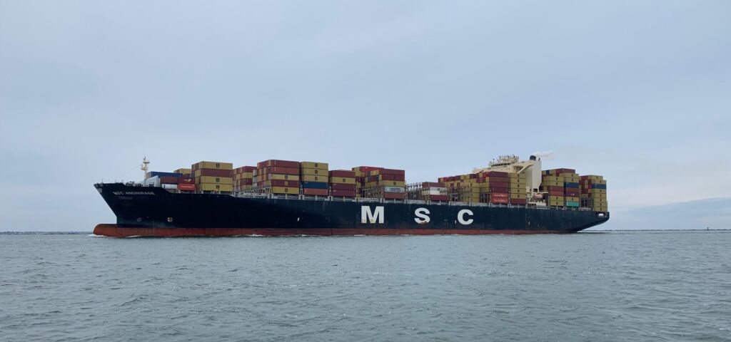
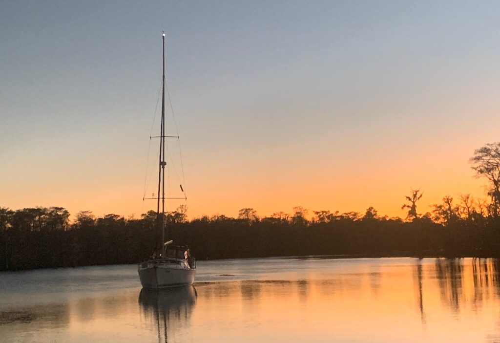
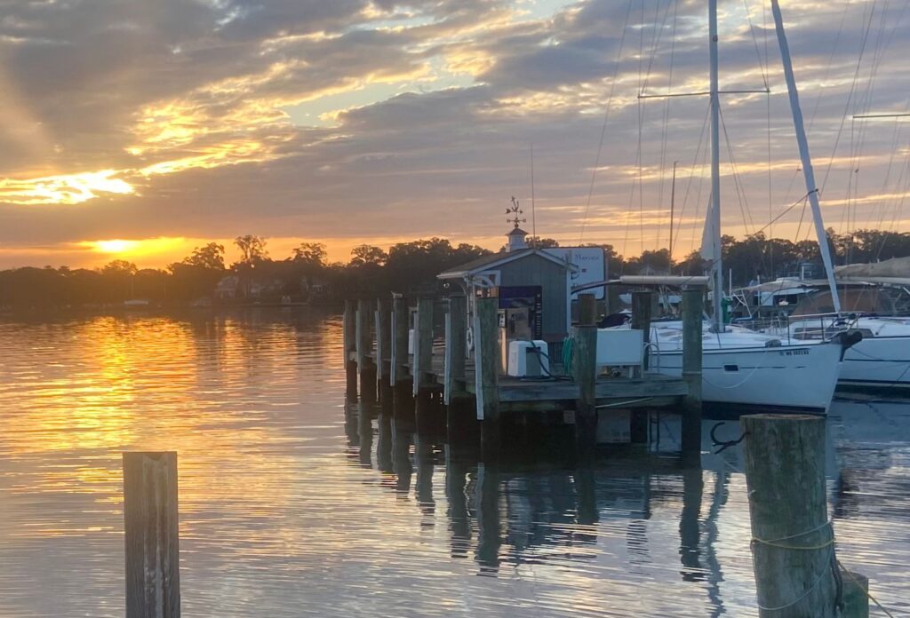
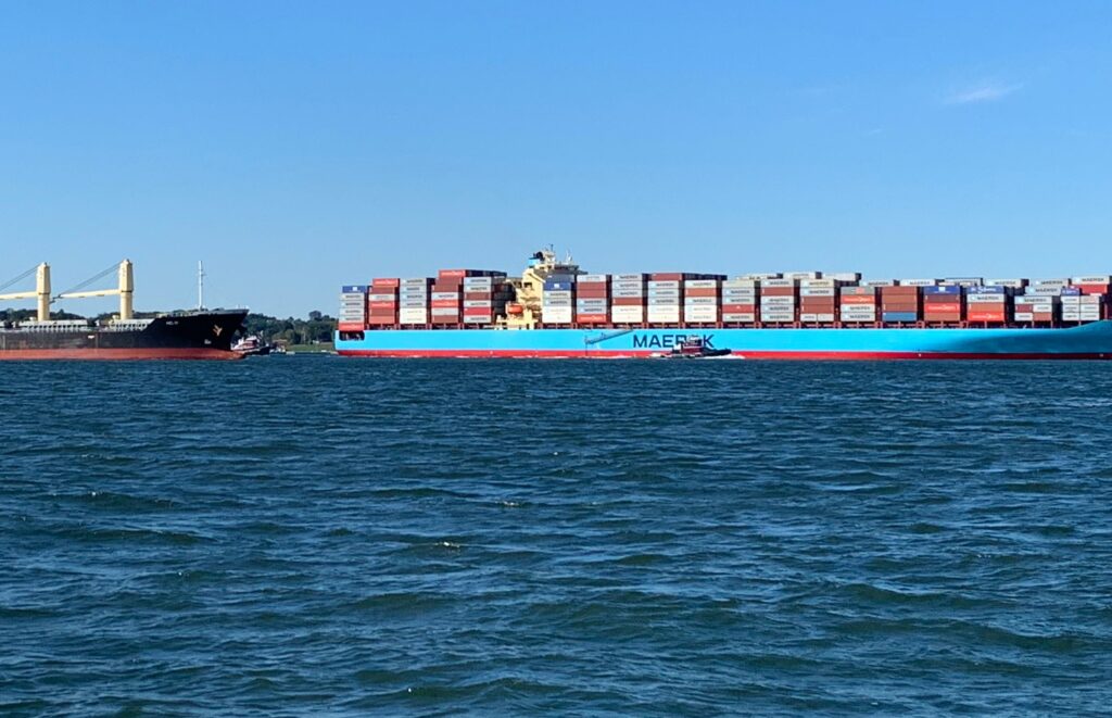
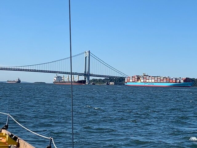
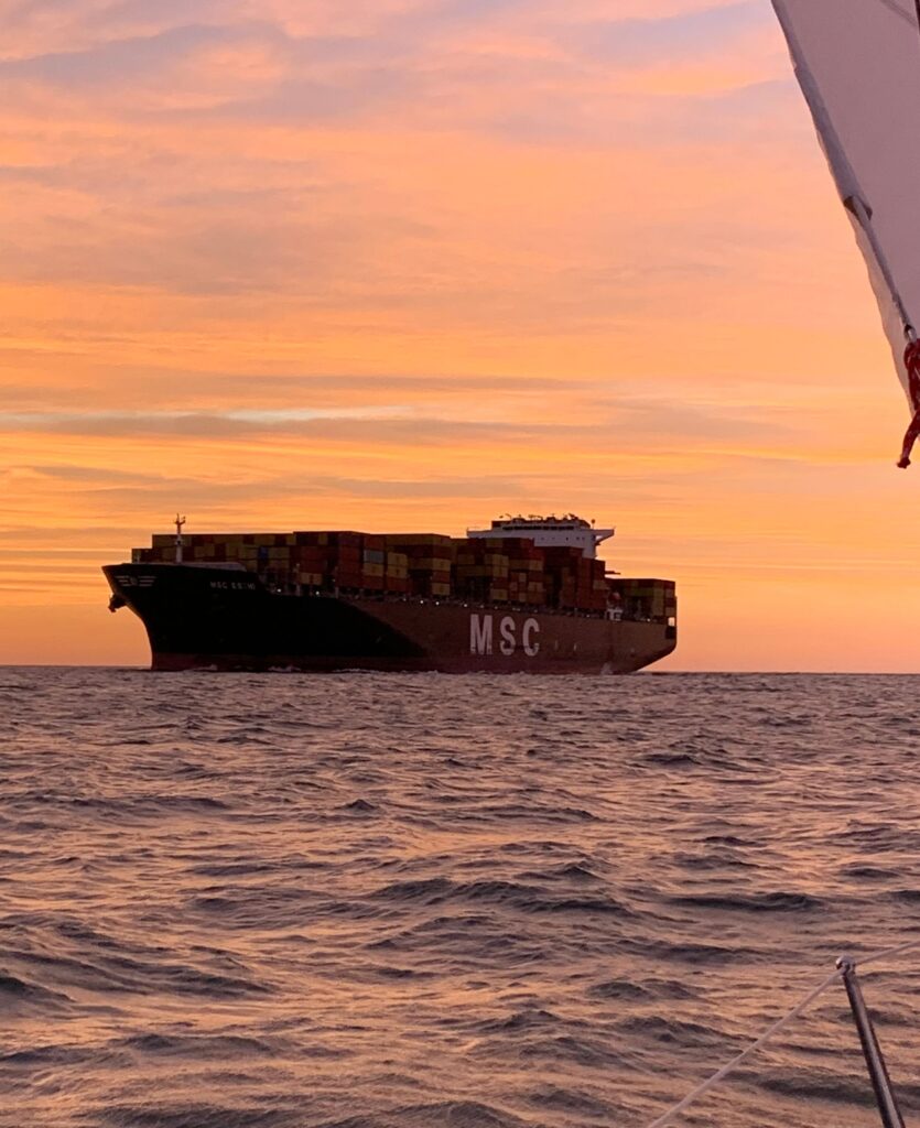
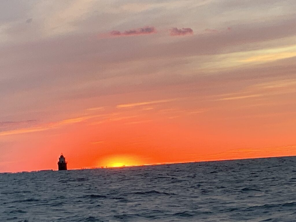
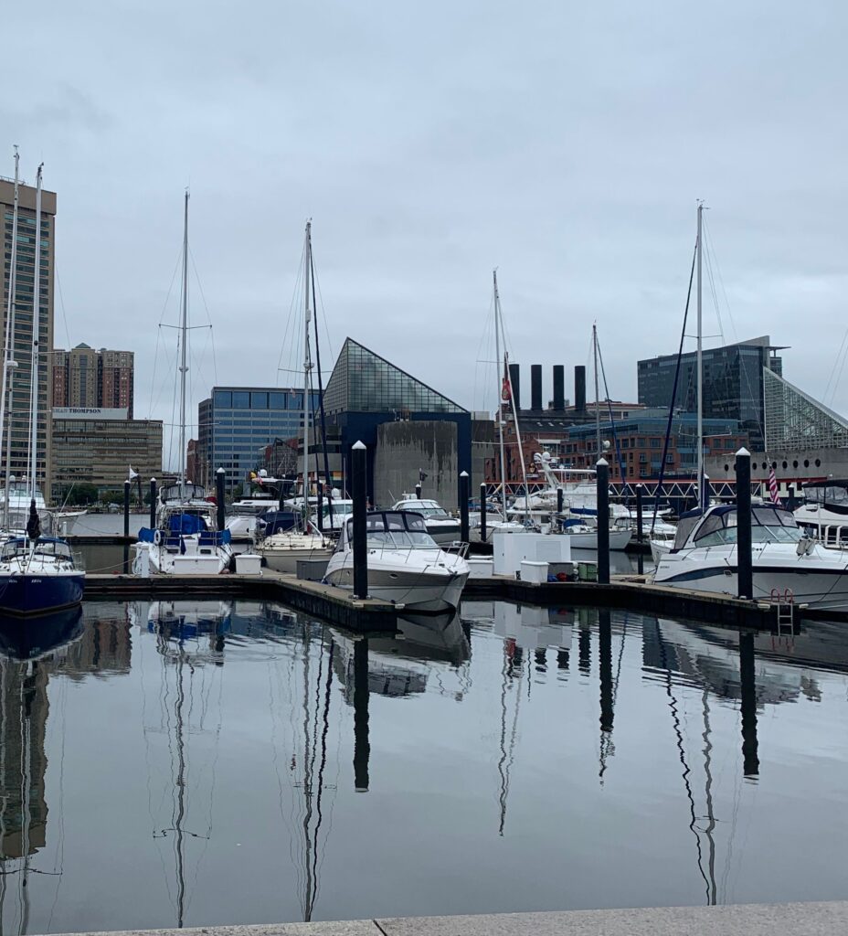
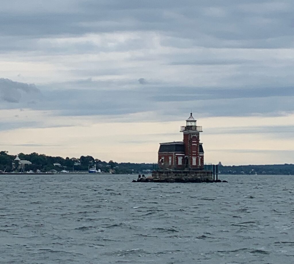
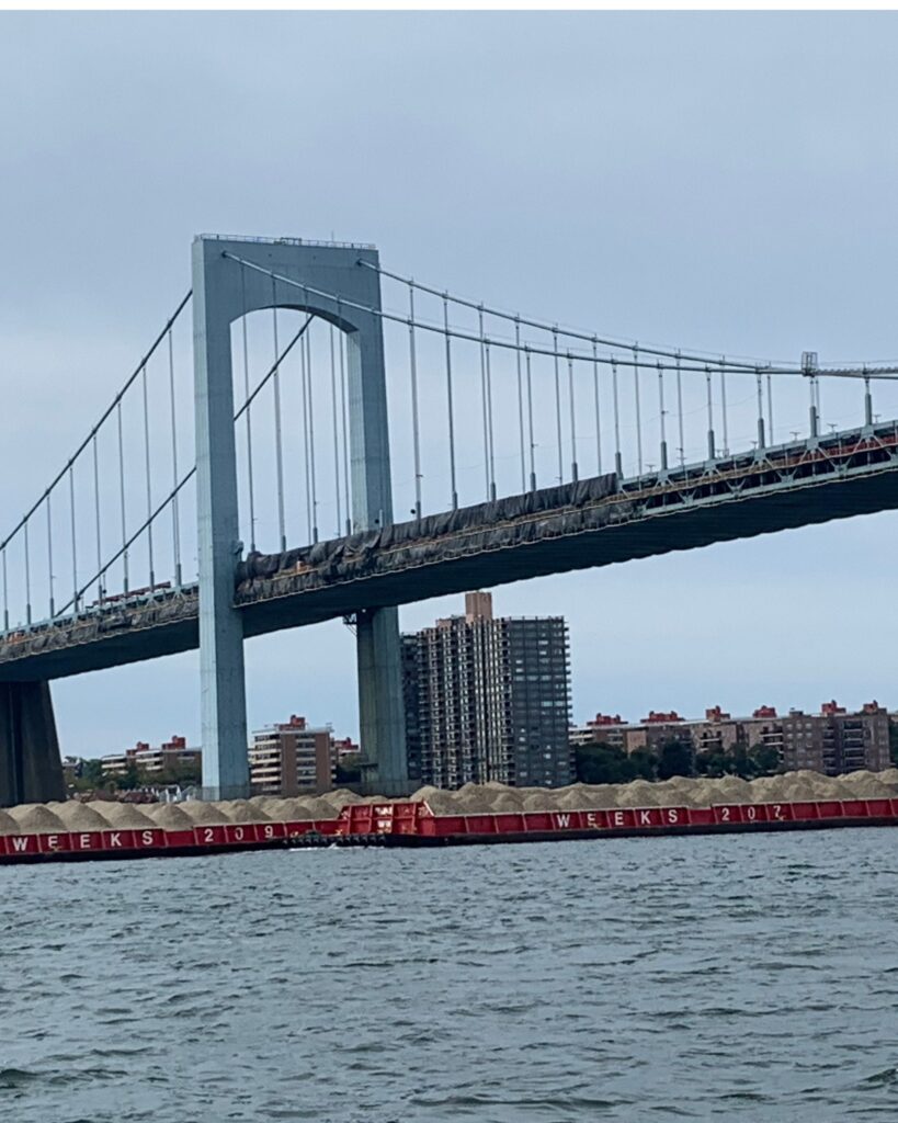
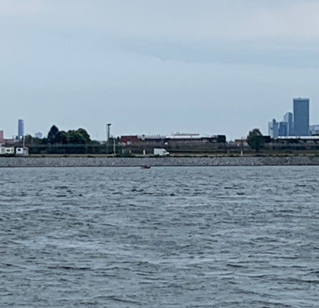
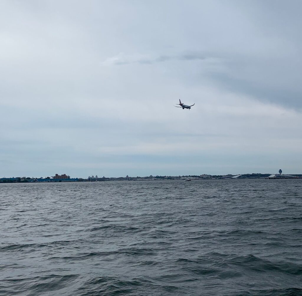
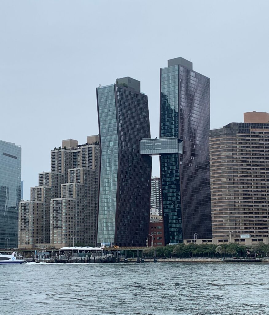
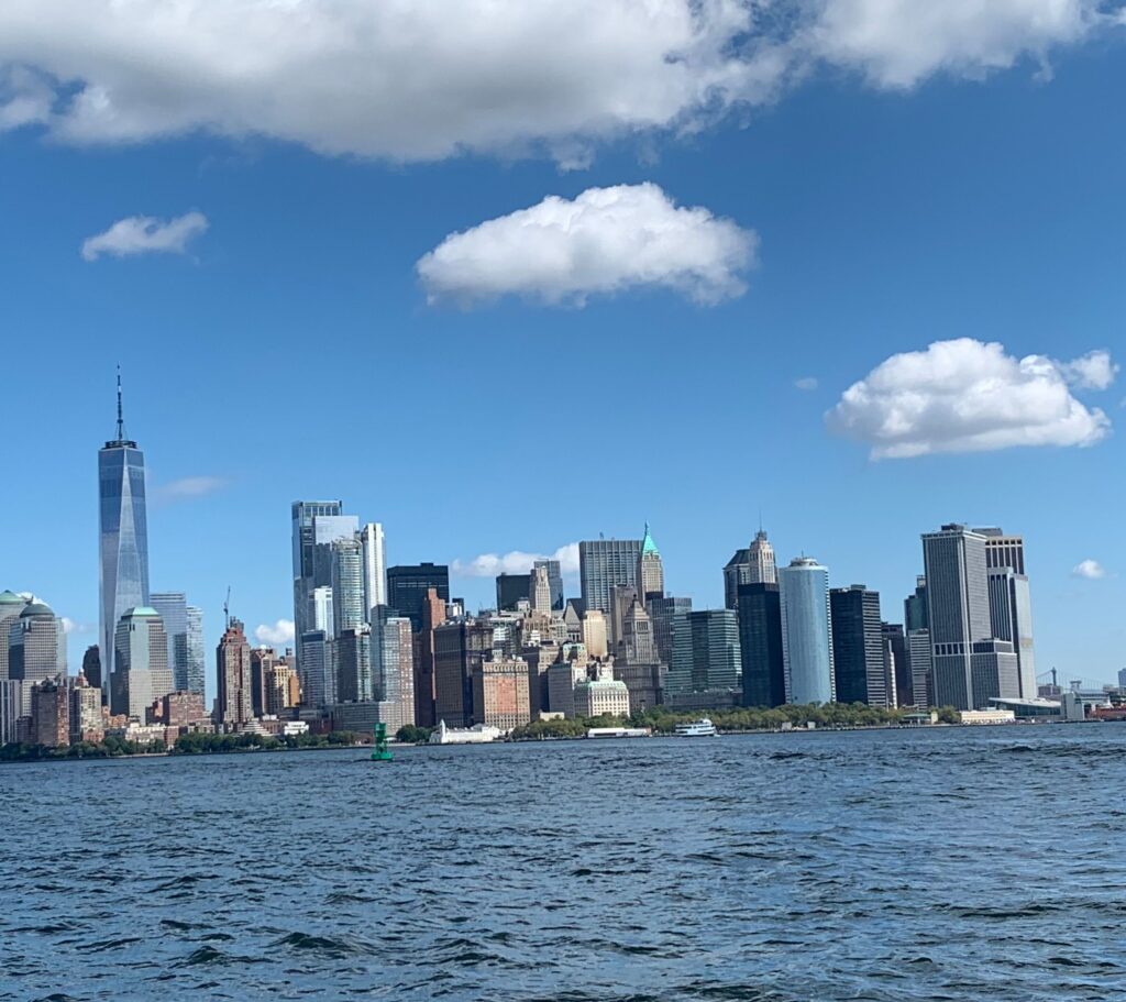
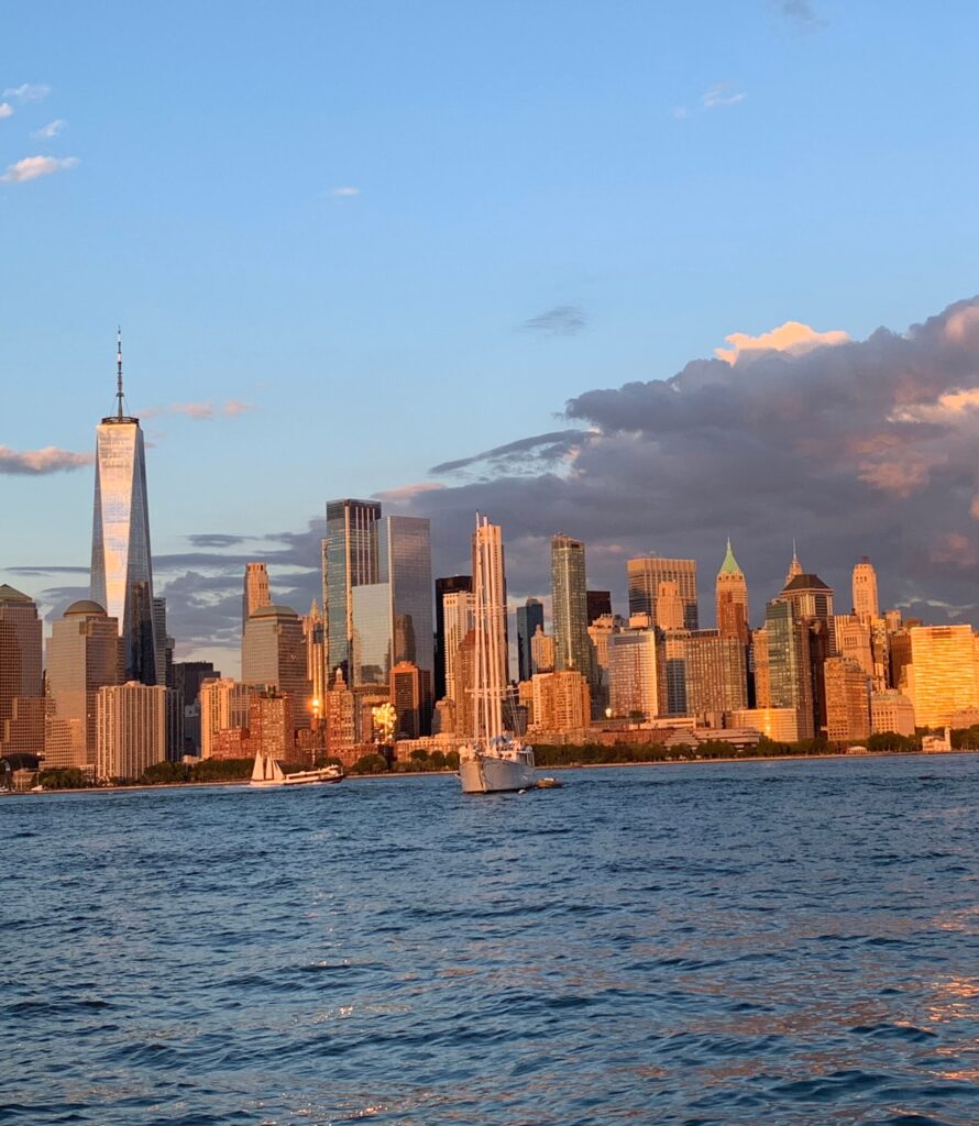
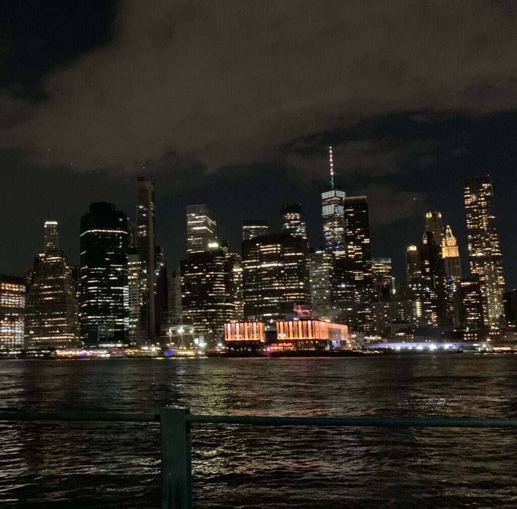
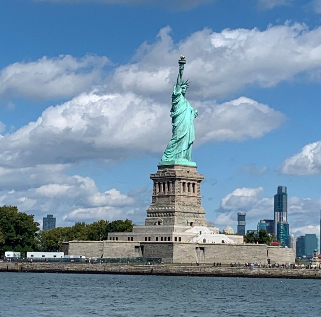
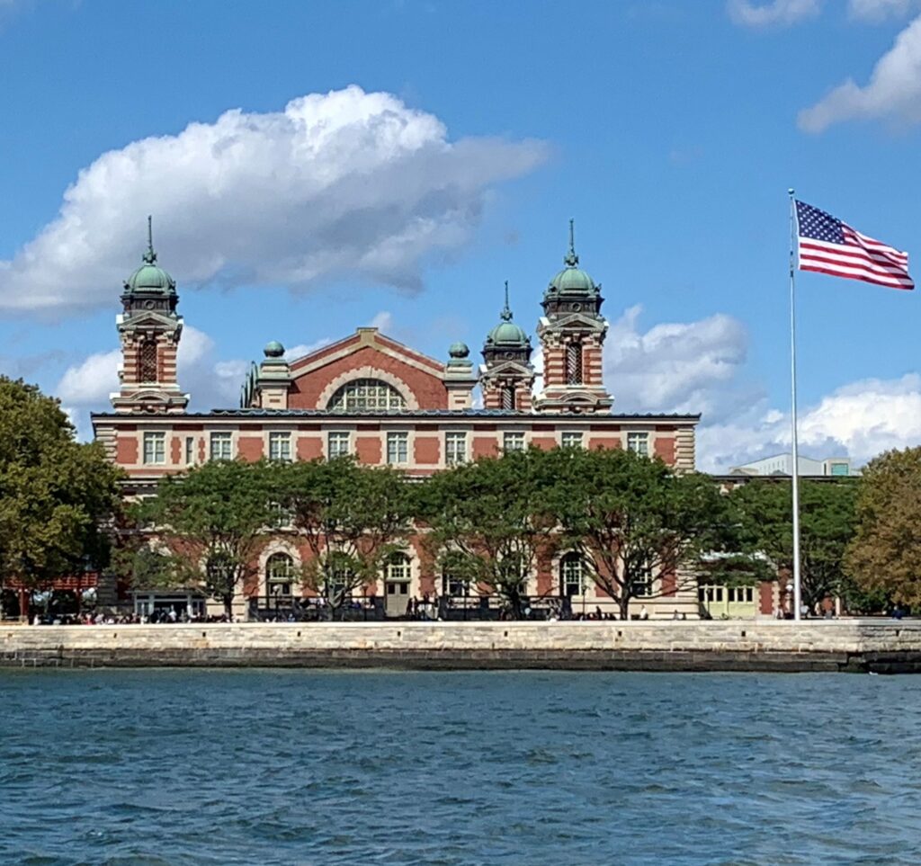
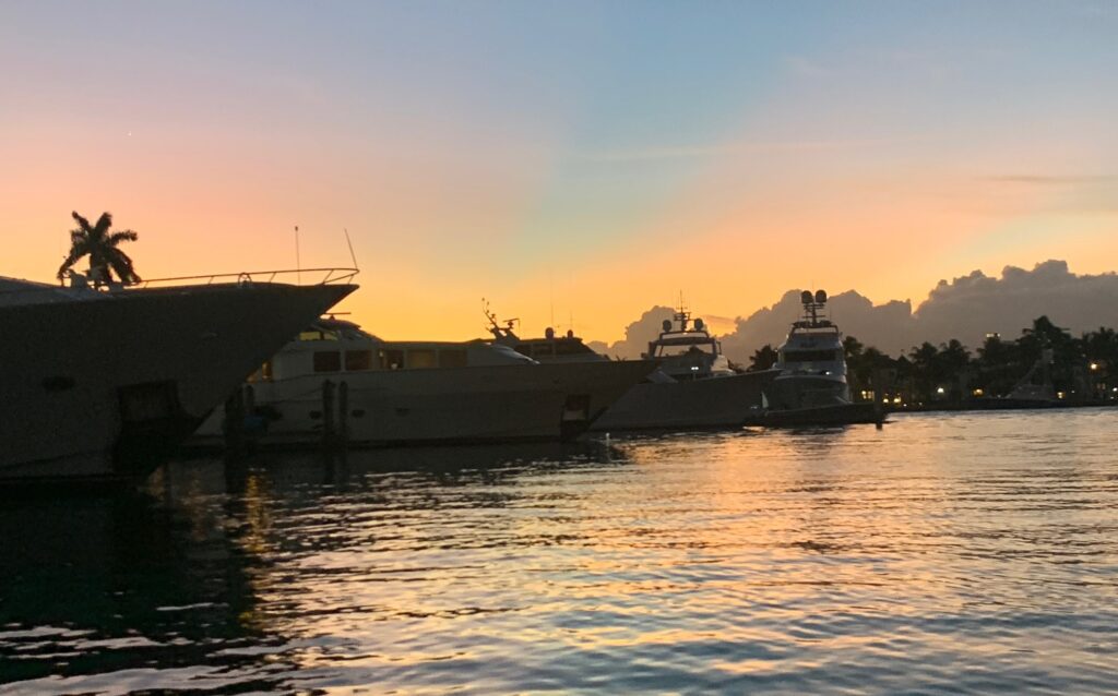
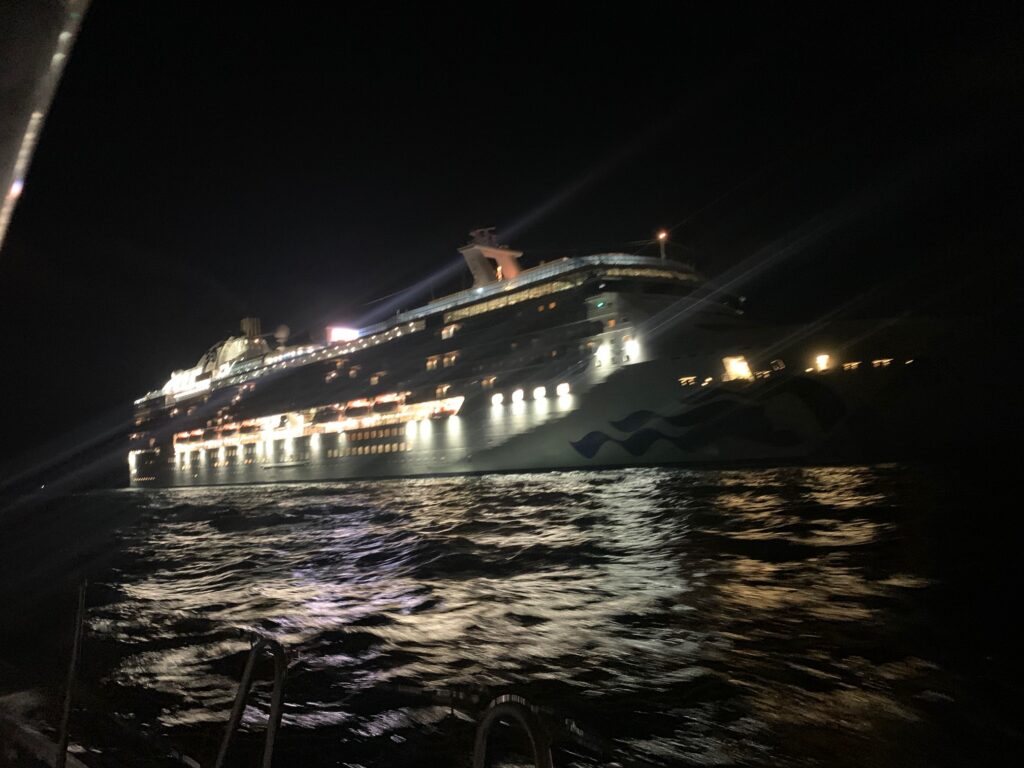
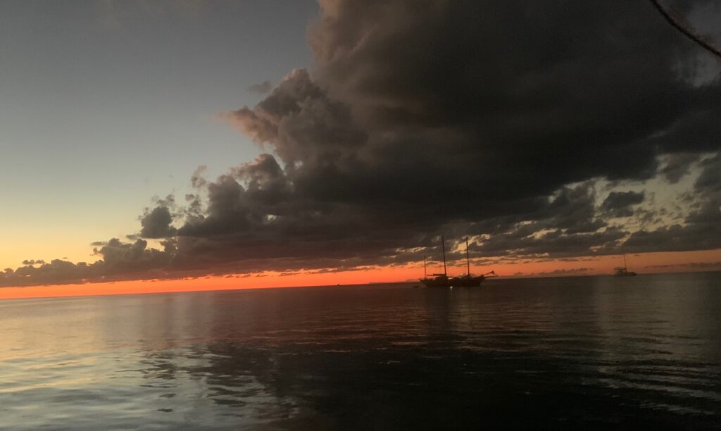
This year on Allen’s birthday, July 29, we resumed our sailing adventure from Conception Bay, Newfoundland, continued through the Canadian Maritime provinces, stopped in France (St. Pierre) for a few days, dodged lobster pots in New England’s waters, experienced Boston and New York like never before and eventually joined hundreds of sun-seeking cruising vessels heading south in the Intercoastal Waterway (ICW). After 5 months and nearly 3000 nautical miles, this chapter of our adventure has ended. On January 5, 4:30 am, the new chapter began as we raised the anchor in Lake Sylvia, Florida, waited for our last draw bridge opening and sailed through Port Everglades inlet into the open Atlantic Ocean with only the light of the stars and incoming cruise ships to show us the way (thank goodness for the chart plotter!).

Last night in Florida

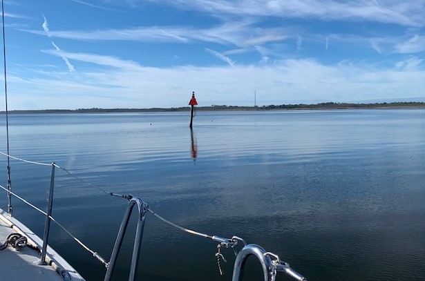
January 5, 4:30 am was not a random date and time, nor were Port Everglades, FL and West End, Grand Bahama Island randomly chosen departure and arrival points. All details of this journey were carefully chosen after days of consulting several wind and weather models. The western most Bahamas islands are only about 50 miles straight across from Ft Lauderdale, but when crossing an ocean and especially the Gulf Stream, you cannot sail straight to your destination.

Cruiseship entering Port Everglades at 5am
Ship on the horizon

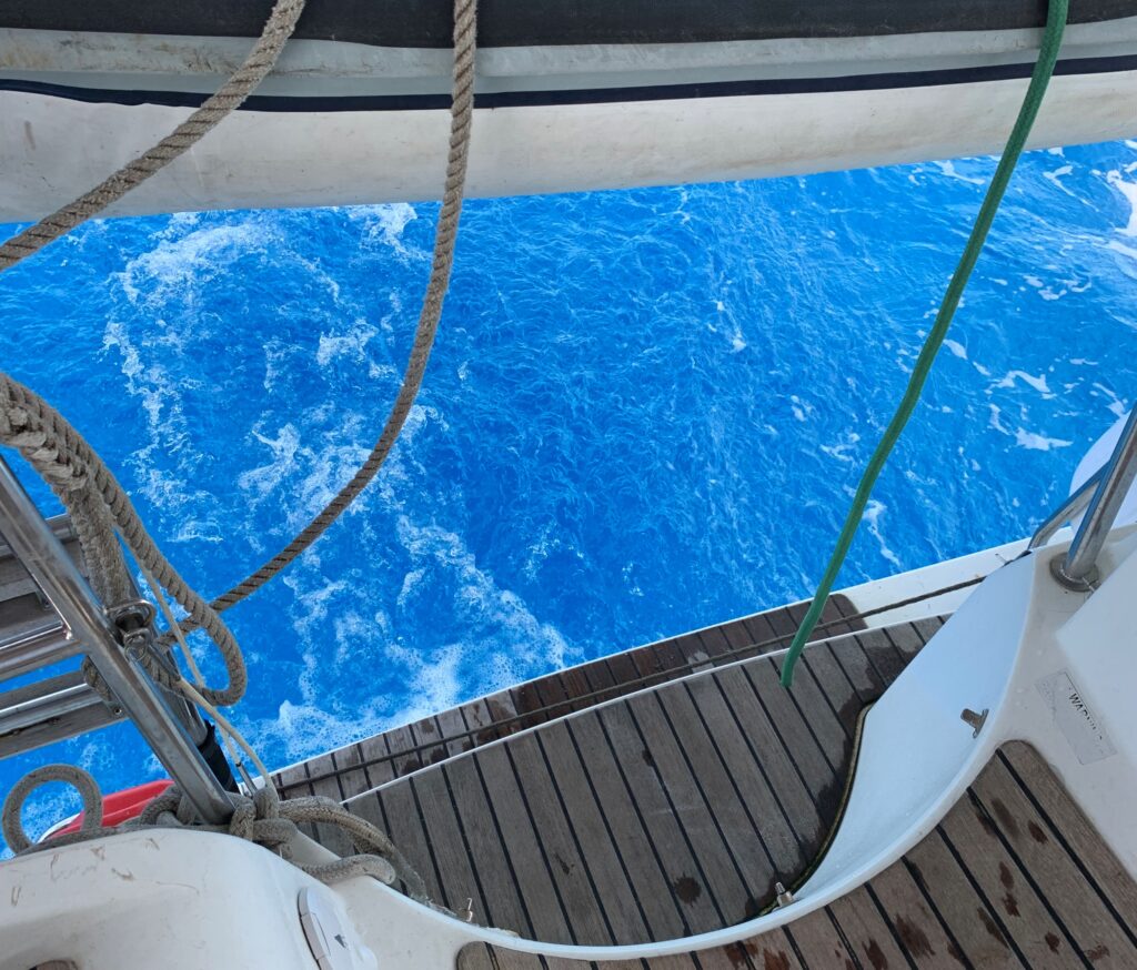
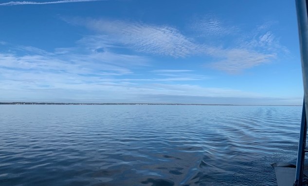
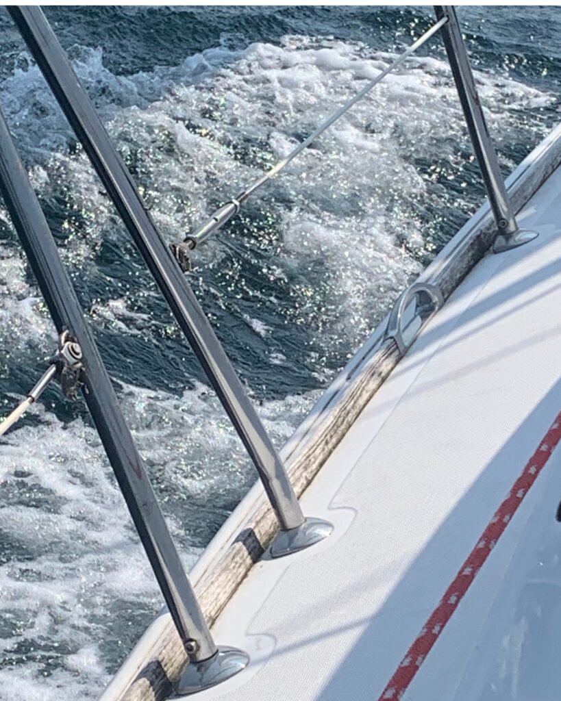
We’ve done several open ocean crossings, but have never crossed the Gulf Stream. The Gulf Stream is an intense, warm current that flows south to north, bringing warm water from the Gulf of Mexico along the US and Canadian coastlines and eventually flows to England. The Gulf Stream’s average speed is 4 miles an hour, but can be much faster, and its this velocity that make navigating so tricky.

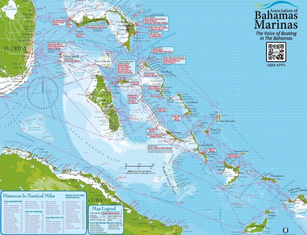
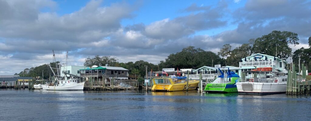
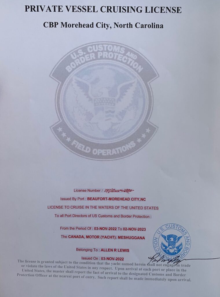
Rule 1: Select the best departure and arrival ports, knowing the current will take you north. We chose Ft Lauderdale as our departure point and West End, Grand Bahama as our landing point. Within a couple hours after leaving Port Everglades and entering the Gulf Stream, the waves picked-up, the air became noticeably warmer, and we were going max hull speed as the Gulf Stream took us north for about 20 miles to Grand Bahama Island. The ride was a bit bumpy, but we’ve had much worse and much colder crossings. We selected West End for another reason as well – access to Bahamian Customs and Immigration. The Bahamas have simplified things with an online Click 2 Clear process and all the “paperwork” can be done ahead of time, but the final step still requires the vessel’s captain to personally go into an office to check-in. West End has an office inside the marina, making check-in efficient and painless and our $300 cruising permit allows us to sail and fish in Bahamian waters for a year (the US could take some pointers from the Bahamas).

Sailing into an Atlantic sunrise

Rule 2: Check wind forecasts frequently, carefully with multiple sources and pick a date and time with NO north wind. If there is even a smidge of northern wind in the forecast, stay put because when cool north winds hit warm southern water moving exceptionally fast, dangerous wave conditions happen. We use several weather apps that use several different models, including Predict Wind, Windy as well as NOAA. These models don’t always agree, so we waited for a window when all models were showing southerly winds at the same time. You also want to avoid thunderstorms and rain, which can make the journey uncomfortable to treacherous.

Taino Beach, Lucaya, Grand Bahama

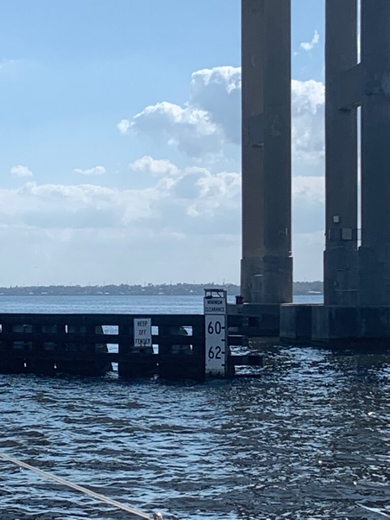
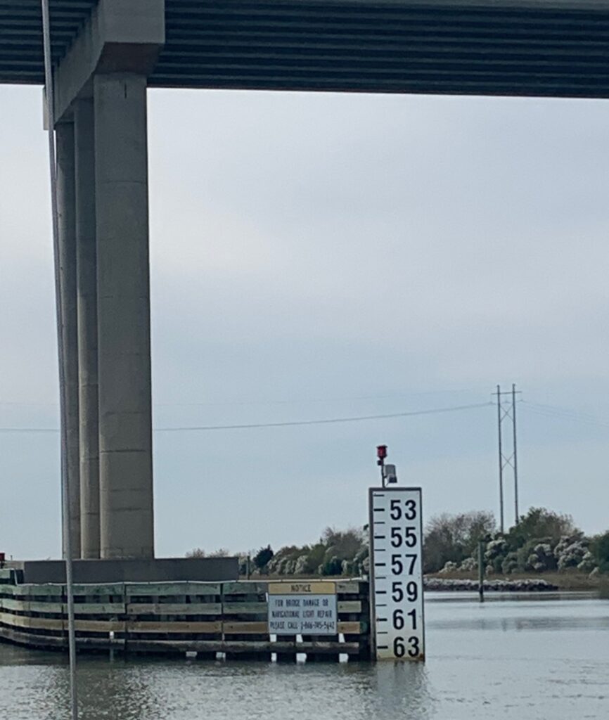
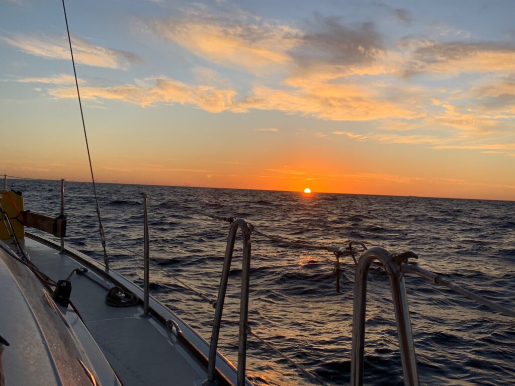
Rule 3: Time your departure to arrive during daylight hours. I’ve mentioned several times in previous blogs, it’s never a good idea to enter unfamiliar harbours in the dark. This rule is even more important in the Bahamas as the sandy ocean bottom is prone to shift, constantly creating new sand bars. Navigation charts are good only for general guidance, and every experienced Bahamas boater knows they must depend on their eyes to read water’s color as the best indicator of depth and safe passage. We estimated our journey would take 11 hours, so we departed Florida at 4:30 am, putting us in the Bahamas marina mid-afternoon.

A manatee family lives in the marina

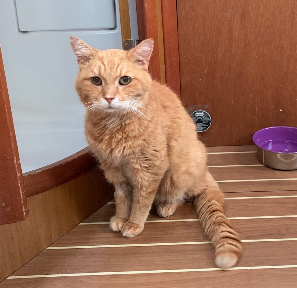
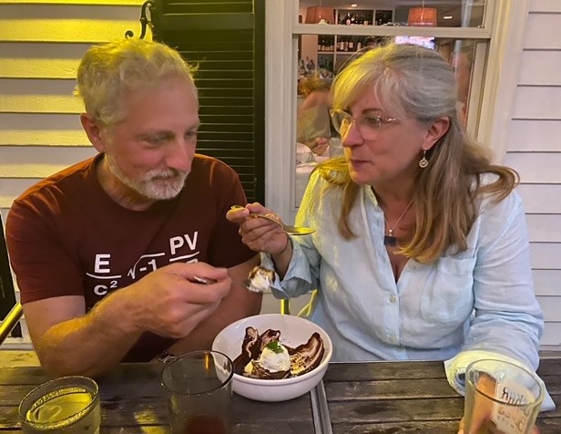
Of course, along with all this departure planning are the seemingly endless provisioning runs. Bahamas are notoriously expensive for anything except rum, and Customs is not concerned with provisions brought in for personal use, so the wise cruiser fills every inch of their boat with provisions that would be very difficult or very expensive to procure in the Bahamas. After several trips to Costco, Home Depot, Pet Smart, grocery stores, liquor stores, dollar stores, we managed to fill the boat with pasta, canned goods, coffee, cat food, beer, wine, bug spray, OTC medications, band-aids, laundry detergent…it’s a wonder we’re still floating!

First Bahamas anchorage, behind an island owned by a cruiseship company

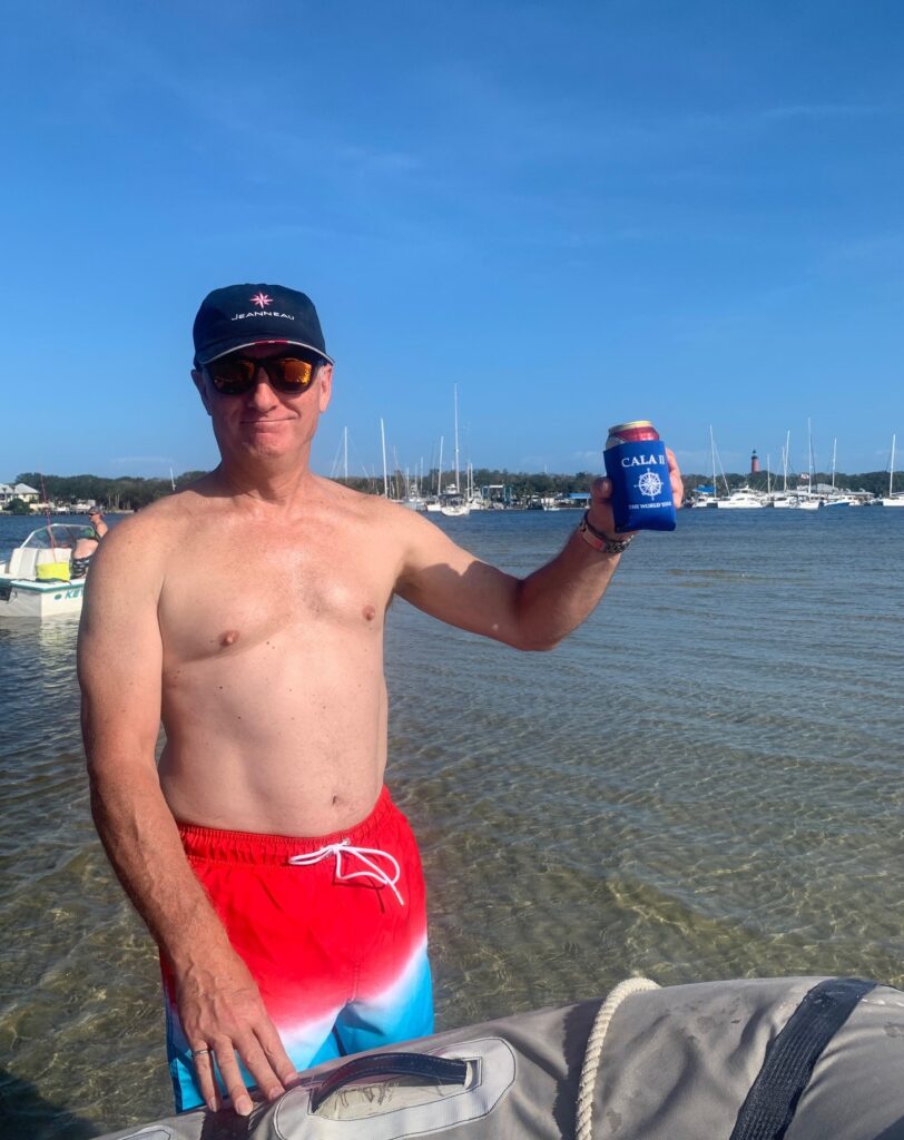
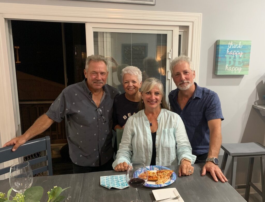
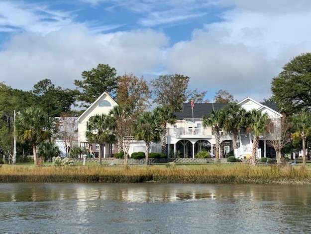
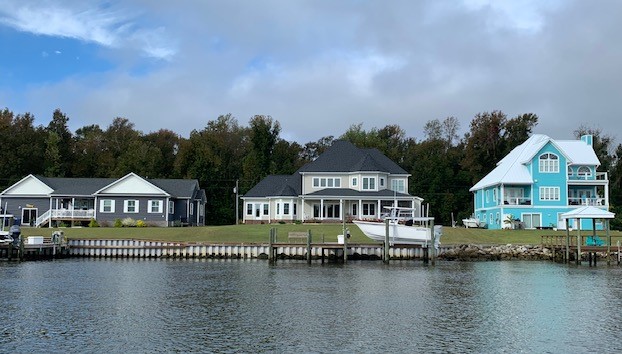
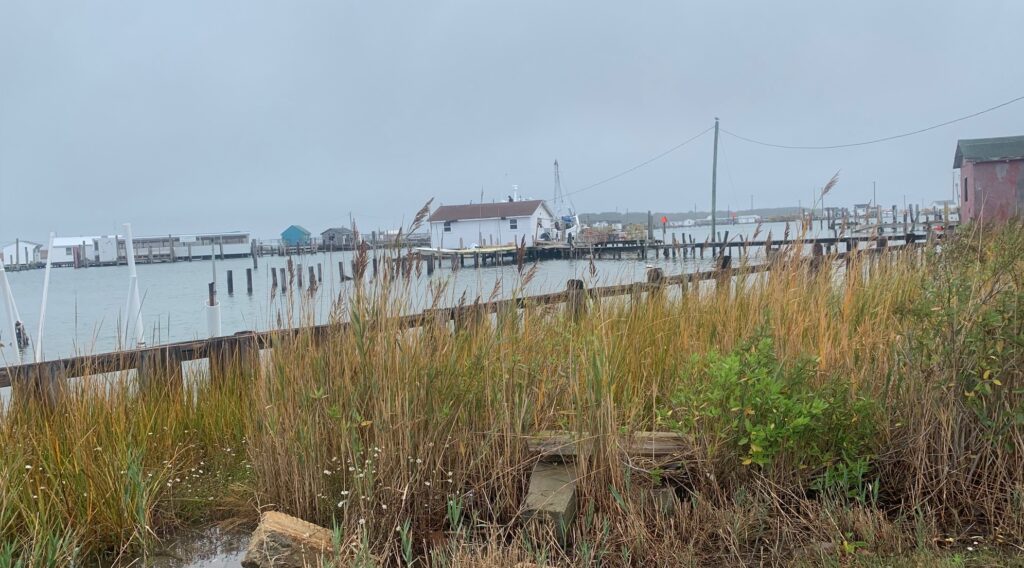
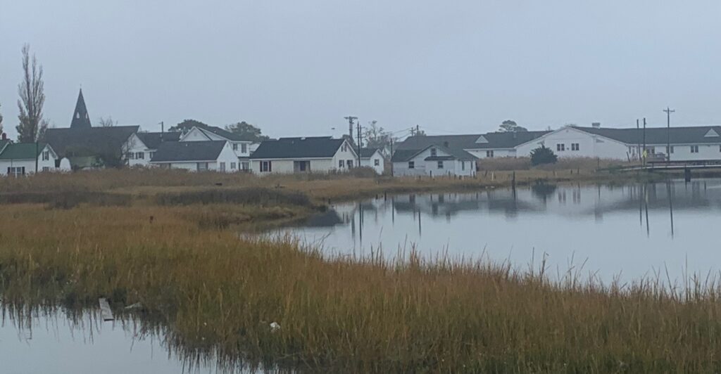
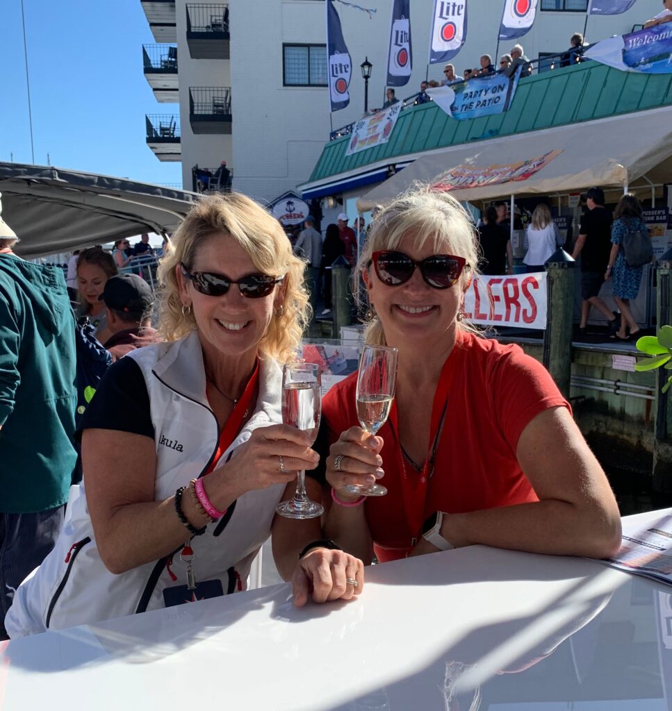
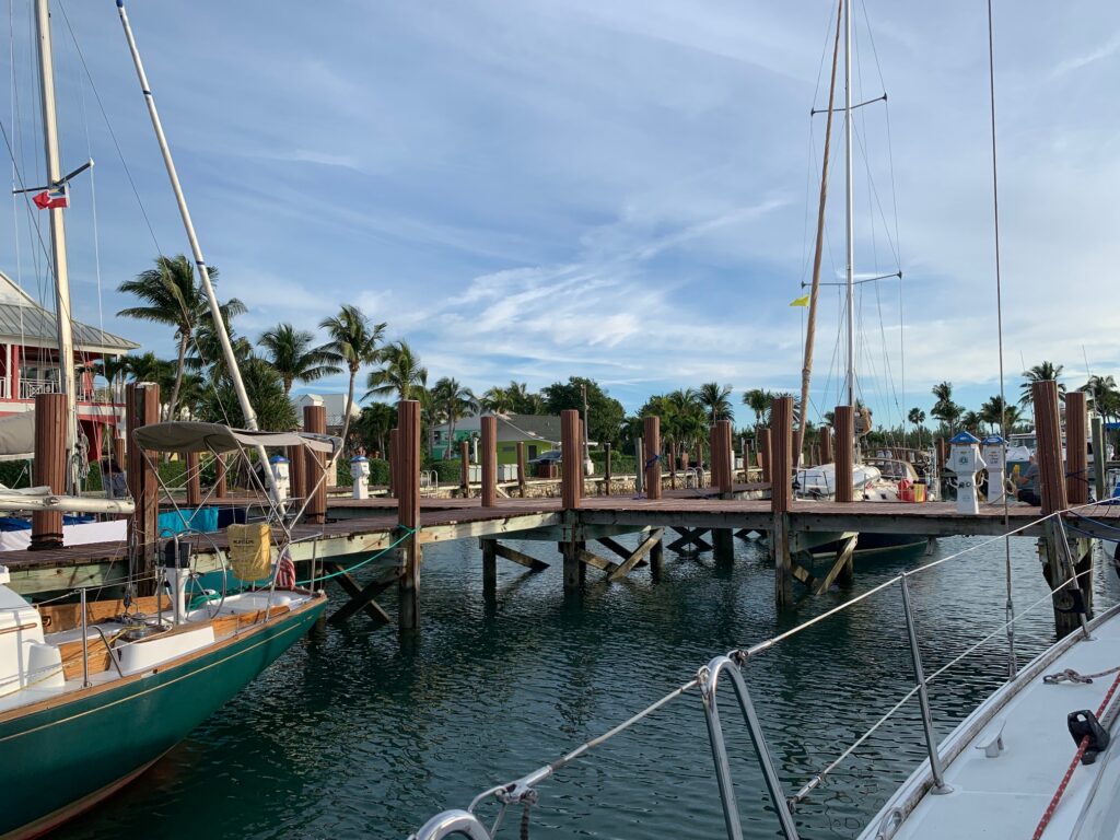
We’ve now been in the Bahamas for a week and have only moved a relatively short distance south. We spent our first night in Old Bahama Bay Marina in West End, a resort that used to cater to the rich & famous, but now is in need of some TLC. However, we were warmly welcomed and thrilled to tie-up to a sturdy dock after a long journey, and finally popped the bottle of French champagne that we’ve been carrying since St. Pierre.

Old Bahama Bay Marina, West End, Grand Bahama
We’re here!

The next day we had planned to move along the northern shore of Grand Bahama to the Abacos chain of islands, but strong northerly winds and the narrow, shallow channel made the trek unfavorable, so we turned our bow south. We spent two nights in Lucaya, near Freeport, Grand Bahama, to enjoy a little down time before moving south again.

Bullocks Bay sunset
Swim-up bar in Lucaya

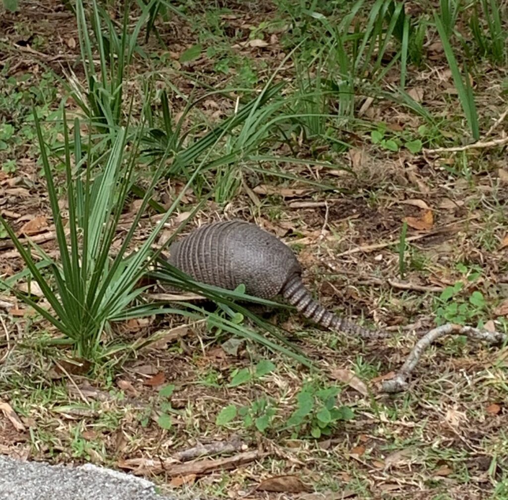
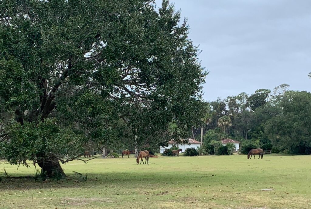
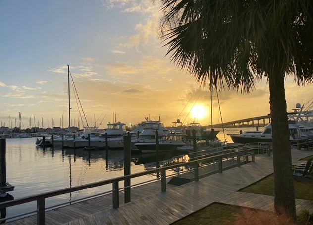
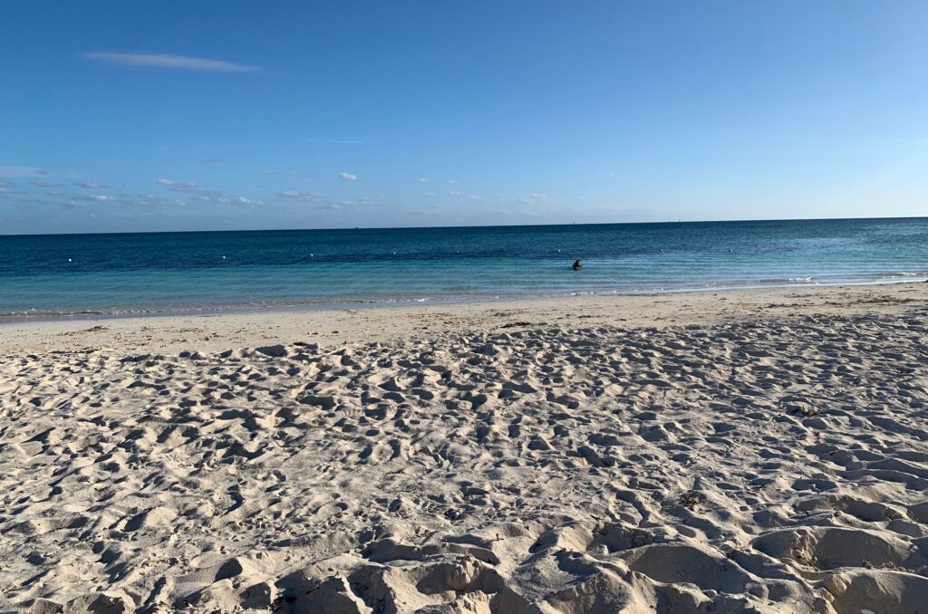
We are now in the Berries, a tiny chain of islands, north-west of New Providence (home of Nassau), barely a blip on the map. We are waiting out a nasty windstorm, inside a protected harbour, tied-up to another sturdy dock. Our observations, from our first week in the Bahamas are: 1) Yes, the water really is that blue and that clear! 2) Yes, the beaches are really beautiful! 3) The climate is nearly perfect – hot days and cool nights and 4) Everything is sooo expensive here!

Cat Stevens loves the Bahamian climate

But we’re loving it…It’s Better in the Bahamas!

Blue water from off our stern

Goodbye Florida!

It’s been a few weeks since I’ve written my blog and that’s because it’s been a very busy few weeks. As I write this, we are preparing to begin the next big leap in this adventure, the jump across the Gulf Stream to the Bahamas, very exciting and a little scary too.

Florida is a strange place. It is home to the obscenely wealthy, with their mega yachts docked in front of their mega mansions, as well as home to poverty, with many derelict boats littering the waterways. It’s a place where people have come to escape harsh winters, some for a season and some permanently, and this all adds up to an unusual mix of different cultures and attitudes, some wonderful and some not so great.

Which mega yacht would you chose?
Just a wee little boat

My favourite Florida region is known as the “Space Coast” that stretches from Port St. John to approximately Vero. The heart of this area is of course NASA’s Kennedy Space Station, the birthplace of US space exploration. We spent a day touring Kennedy, walking through history and the command center of Apollo’s first missions, touching a genuine moon rock, seeing many rockets and the Atlantis Space Shuttle up close. Not only does Kennedy pay homage to the past accomplishments, NASA works hard to inspire young people to pursue STEM education and grow the next generation of space exploration. Allen and I left Kennedy humbled and moved with what has been achieved and what is yet to come.

Rockets!
Atlantis:
26 years
33 missions
126 million miles flown
NASA ready for Christmas
My Astronaut
More rockets
Apollo Mission Control

An unexpected bonus of being on the Space Coast was an up-close view of a rocket launch. Space X (Elon Musk) operates from Kennedy and launches satellites several times a month (Bezos’ Blue Origin is there too). The public can buy “front-row” seats to view the launches from the space center, but if you have a boat and good weather, you can have a free and nearly as good view from about 30 km away. Add good friends, food & drinks, a rocket-themed playlist, and you have a Launch Party! Thanks Teri and Craig for hosting a memorable evening aboard Cala II – the entertainment was “out of this world”.

Space X Rocket launch
Launch party aboard Cala II
Moonrise after the launch
New friends

The Florida heat can be difficult to take, especially when you have a thick, fur coat. Cat Stevens always looks for the warmest, sunniest spot to nap – at home in Toronto he occupies the west-facing window seat all afternoon. When we were in Mexico, he basked on the sunny concrete steps all day. Unfortunately, the old guy can’t take the heat as well as he used to, and became dangerously dehydrated. It was frightening how quickly he went from being his normal, friendly self to a listless lump that cried when touched. We were lucky get him into a veterinary clinic where he received IV fluids and antibiotics and after a heart-wrenching (and expensive) 24 hours, he came home good as new. My feline first aid kit is now supplemented with a saline drip bag, needles and antibiotics.  It was a close call and a good education for me to keep a closer eye on Cat Stevens, intervene at the very first sign that something is off and to keep him out of the sun as much as possible.

Cat Stevens feeling much better and demanding his dinner

Christmas was approaching and we needed to get close to Ft. Lauderdale so I could fly to Cleveland to spend the holiday with my family. Since airfare and dock space are extremely expensive during this season, Allen and Cat Stevens remained in Florida and stayed in anchorages until I returned. It was quite an ordeal getting to Cleveland and back (I flew on Southwest!) through the winter storm, but at the end it all worked out and it was wonderful spending time with my dad, son, siblings and extended family. With my batteries recharged, I returned to Florida to finish this chapter of our adventure.

Naireen & Ian joined us in Vero Beach
Fellow ABYC’ers Alison & Craig in Ft. Lauderdale

As we continued south and the yachts and mansions got bigger and grander, we felt a significant shift in attitudes from the locals. The message is clear– cruisers are not welcome.  While the waterways are public, the shorelines are private. It has become increasing more difficult to find places to land our dinghy so we can go ashore to shop and provision. Even marinas and yacht clubs do not allow dinghies to use their docks. We must resort to public boat launches, that are usually quite a distance from the anchorage and sometimes under bridge overpasses with difficult access and often in sketchy areas (other boaters have warned us to lock the boat and motor and not to leave anything in the boat). We have seen buoys with a “No Anchoring” warning that local homeowners have installed, despite it not being enforceable. On weekends the local teenagers enjoy wakeboarding among anchored boats, trying to rock or spray them as they pass by. The message is clear – you are not welcome here, so….. Bahamas – here we come!

Anchorage in Lake Sylvia

Hello Florida!

We made it to Florida – another milestone! But more importantly, hurricane season was over! The season officially runs from June 1 to November 30, and in the Atlantic the most likely timeframe for severe storms is August through September, when the ocean’s surface water is at its warmest. Hurricanes (or cyclones, as they are called in the rest of the world) form when warm ocean air rises into a low-pressure area, fueling the storm, and as the air cools, storms can form. By December the Atlantic’s surface water has cooled enough so hurricanes are unlikely, but this no guarantee that Mother Nature won’t send us rough weather; therefore, we remain vigilant in paying attention to weather and forecasts.

So many hurricane damaged boats
Florida politics on boat carnage

The end of hurricane season was certainly a reason to celebrate, as was the change in temperature. Finally, it has been consistently warm – no more sleeping in long underwear with 2 blankets and a cat (well, the cat still sleeps on my head). The days are getting hotter, yet the evenings are still cool and perfect for sleeping – my favorite kind of weather!

We returned to the ICW to continue our journey south. Each state along the coast has its own vibe, and Florida’s vibe is busy! Boat traffic has increased, with many more weekend boaters travelling the waterways. This also means more novice boaters, distracted boaters, impatient boaters and even impaired boaters so we need to be more watchful than ever.

St. Augustine anchorage

The devastation of Hurricanes Ian and Nicole are visible throughout the ICW. Destroyed piers, sunken boats and damaged buildings are obvious, but what is not obvious is the damage these hurricanes caused under the waterline. They created new hazards like large debris (trees, decking, telephone poles) floating at or below the water’s surface, as well as shoaling in areas marked as safe channels. Nearly every day we hear radio calls reporting boats that have gone aground, requiring a towboat to get them free. We have been fortunate – we’ve touched bottom a few times, but always in soft mud and have been able to power out of it unassisted, but we know there’s always the next time.

Another unfortunate boat being towed


Florida’s ICW is notorious for its many bridges, some areas may have two or three within as many miles. Many are draw or swing bridges where we are at the mercy of a bridge operator to decide exactly when to stop car traffic and allow marine traffic to pass. For the most part these bridges have been easy, without extensive waits and pleasant greetings from the bridge master as we pass through, but the toughest bridges have been the fixed bridges. Fixed bridges on the ICW are designed to have a guaranteed clearance of 65 feet at low tide, and our air draft, the height from the water’s surface to the tip of our wind instruments on top of the mast, is 63 feet. The recent hurricanes caused underwater conditions to change and now some areas that were charted as safe for navigation are shoaled and no longer as deep as the charts show. An added complication are the bridges themselves – many are old and over time have shifted and the stated clearances can be a bit iffy and in some cases the clearance boards are broken off or missing completely. All this means is we must carefully time our travel with the tides, proceed slowly and hope for the best. We have come close a few times, just pinging our flexible VHF antenna on the girders as we pass under, but we have met other sailors that have had very expensive instruments knocked off their masts.

Bottom half of clearance board broken off
Clearance boards are often covered in gunk

St. Augustine was the first big city on this trip, and just like Charleston, we’ve never been there, but have heard good things about it. St. Augustine is the oldest city in the United States and it’s full of history, Spanish Colonial architecture, a walled fort and many restaurants and shops. It’s a compact, walkable city, and though it is most definitely touristy, it has character and charm that sets it apart from other beachy-tourist towns.

St. Augustine
Draw bridge at St. Augustine

St Augustine is famous for its Christmas spirit and takes decorating seriously. Every single tree, pole and building literally sparkle with Christmas lights. If there is a surface to which a light can be attached, there is a light on it. I have never seen such a holiday light extravaganza, not even New York City can compete at this level of decorating.

St. Augustine Park
All dressed up and ready for Christmas
Lights!

While in St. Augustine, we were able to spend a night in the marina where our new boat will be delivered next year. It was important for Allen to check out the place where he will be working on commissioning the new boat, and what we will call home for at least a couple weeks next Fall. It’s not a glamourous place, but it has what we need and is just a few minutes from the fun part of St. Augustine.

We arrived in Daytona Beach a couple days later and pulled into the very large and busy Halifax Harbor Marina. It’s centrally located with easy access to groceries and hardware stores, and to my cousin’s home near the beach. Unfortunately, Sig and Anita were back in Cleveland, but they graciously gave us access to their home and car, and we had some lovely land-time doing errands not easily done on foot, enjoying their home and sipping their whiskey. They were lucky to have only minor damage to their home as the hurricanes ripped through Daytona, but carnage is everywhere, destroyed homes, downed trees, cracked retaining walls and dozens of boats washed-up on shore or half sunken.

Hurricane victim
Daytona Beach
Scootering on the beach

Now that the weather was becoming even warmer, we were craving something for which Florida is famous – a beach! Just a few miles south of Daytona Beach you can find the Ponce Inlet, an area with “disappearing islands”, or sand bars that appear at low tide, creating small islands that fill-up with small boats carrying beachgoers, mostly families with little kids playing in the soft, wet sand or fishing in waist deep water. When the tide comes back in, the islands and families are gone, and we are left with a quiet, lovely view of a Florida marsh.

Ponce Inlet lighthouse
Beach Day at Ponce Inlet

As our journey continues south, the weather it’s getting hotter and buggier (Florida no-see-ums are the worst!) and traffic heavier than ever. The holidays are approaching quickly and again, we are racing a calendar so that I can make a flight to spend Christmas with my family.

Getting ready for the holidays

Hello Charleston and Happy Thanksgiving!

Charleston, SC was up next on our itinerary, and I was psyched! I have heard so much about Charleston, from many people and all good…the architecture, the history, the food, the vibe… And Charleston did not disappoint!
We tied up in the small municipal marina that promises extreme currents, free laundry and close proximity to historic downtown – 2 out of 3 ain’t bad! Once securely tied up at the dock, we set out to see why this city has everyone so excited.

Approaching Charleston


Once we passed the cruise-ship terminal, the charm of Charleston was obvious. A central marketplace spanning several city blocks has stalls selling trinkets, tea, Carolina rice, pricey leather goods and locally made and surprisingly expensive baskets – I chose a dinner-plate sized basket and promptly put it down after seeing the $250 price tag.
Surrounding the market are independent restaurants offering local specialties and small shops selling the work of local artisans. Two things stood out for me: old, elegant architecture beautifully preserved and the lack of chain-stores – no Dunkin Donuts, no Walgreens, not even a Starbucks in the historic core. We were there the week before Thanksgiving and Christmas lights and decorations were starting to go up, tempting us to stay up past bedtime to enjoy evening walks through the Charleston’s streets and neighbourhoods.

Charleston street
Many houses are sideways to take advantage of cool breezes
Charleston mansion

Charleston is well known for more than just its architectural beauty. Fort Sumpter, just a inside the harbour, was built to protect Charleston from the British during the War of 1812 and was federal property belonging to the Union (North). South Carolina was the first state to secede from the Union, and on April 12, 1861, the American Civil War began with the Battle of Fort Sumpter as the South Carolina Militia attacked the fort. One day later, the Union surrendered and removed their flag as fort commander Major Paul Anderson and his soldiers left the fort. The war raged on for four more years, leaving thousands dead, but as we all know, ended with victory for the Union. On April 14, 1865, the retired (and promoted) General Paul Anderson returned to the ruins of Fort Sumpter, to raise the very same flag he removed four years earlier. That flag was preserved and is on display in the fort’s museum.

Remains of Ft Sumpter
I was honored to help raise the flag over Ft Sumpter

South Carolina and Charleston also have very dark history steeped in slavery. Charleston served as a hub for plantation business and the slave trade The staggering wealth of plantation owners is on display throughout the city with their lavish city homes, most preserved and some open for tours, as well as in the plantations themselves just outside the city. We toured the home belonging to Nathaniel Russell, a merchant and slave trader and owner of 18 enslaved people. The house was magnificent, built and decorated with one primary goal – to show off their wealth. Building was completed in 1809 – it has 24 carat gold wallpaper, mahogany doors and a spiraled 3-story freestanding staircase, supported only at the top and bottom. The house tour also took us through the living quarters of the enslaved people, a sobering contrast to how Nathaniel and his family lived.

The staircase in the Russell house is an engineering marvel
Looking up through the floating staircase
Charleston mansion

We rounded out our Charleston stop with a trip to the Boone Hall Plantation, now just a 30-minute Uber ride from downtown, but in its heyday, a several day journey through rivers and swamps. Boone Hall, one of America’s oldest plantations, has been in continuous operation for over 320 years, with its current biggest cash crop being “pick-your-own” strawberries. The planation is open for tours of its gardens, fields and manor house and is a fascinating walk-through history. In addition to tours, Boone Farm is available to rent for movie and TV production (North & South, The Notebook, just two movies filmed there) as well as private events. We saw two weddings while we were there, and with a minimum of $25,000 just to reserve space, you too can join the more than a year waiting list.

Strawberry fields
Taking a break at Boone Hall
Drive to Boone Hall Plantation

Boone Hall’s original owners were in the brick and cotton businesses and at its peak had almost 300 enslaved people living and working there. What is unique about this plantation are nine perfectly preserved cabins, built by enslaved people with castoff bricks. Each cabin is a mini museum, showing slave life on a plantation, from living space to the worship house. It was chilling and fascinating at the same time, displaying an appalling period in our country’s history, yet seeing how the enslaved people prospered with what little they had.

Slave Cabins
This road leading to the the
plantation manor has been used
in many films

Georgia was next after Charleston, and a dreaded part of the ICW. This stretch is notorious for big tides and shallow passages, so we decided to skip the ICW and take the outside route to Florida. We waited for the weather window and embarked on another overnight trip into the Atlantic.

Big seas going around Georgia
Big traffic

Sometimes you don’t always get what you want, but you need to take what you get. On the positive side, this passage had no storms and steady winds coming from behind; however, we also had big seas, at least 10-foot swells, making the journey lumpy and uncomfortable and little scary if you dare look out at the swells towering higher than the boat. All 3 of us resorted to taking sea-sick meds (a very rare thing for the 2 humans), and after 26 miserable hours, we arrived at the Georgia/Florida border exhausted, but unscathed. We took a right turn into Georgia, dropped anchor in front of Cumberland Island, and had a good long sleep.
After recovering from our overnight journey, it was time to explore Cumberland Island. Cumberland Island/National Seashore is owned and managed by the National Park Service, but at one time had several plantations, including one owned by Thomas Carnegie (brother of Andrew). Dungeness, a 59-room mansion, was occupied by the Carnegie family until 1925 and then destroyed by fire in 1959. The ruins of the mansion are roped off, but the grounds and remains many of the other buildings on the property are open to the public.

Dungeness Ruins on Cumberland Island

Dungeness grounds
Cumberland Sand Dunes


The best part of Cumberland is the wildlife, including feral horses. It’s estimated about 150 feral horses live on the island. We spotted a couple dozen horses and one even walked out onto the trail we were hiking, just a few feet in front of us. It’s prohibited to approach or engage with the wildlife, so we just waited for him to move on. Cumberland is home to many other creatures, and we met several wild turkeys and an armadillo.

A feral horse came out to say hi
Wild turkies
Armadillo
Grazing feral horses

Thanksgiving was a day away and lucky for us we were just around the corner from one of the largest and best Cruisers’ Thanksgiving celebrations on the ICW. For years the residents of St. Mary’s, Georgia have been inviting cruising boats and their crew to come to their town and enjoy Thanksgiving dinner in the company of their hosts and other cruisers. Dinner is provided by the hosts and at a local restaurant, and celebrations go on all week. The atmosphere is lively and sociable, with daily events like Oyster Night and pancake breakfast, bringing together boaters sharing their journey. We enjoyed the holiday and comradery and made several new friends making the same journey south.

New friends and fellow sailors

Hello Carolinas!

As we left Beaufort, North Carolina (pronounced BOW-fort) we returned to the “highway” and re-joined the very busy Intercoastal Waterway (ICW). Traveling the ICW, especially on a weekend, is not very different than travelling Highway 401 in Toronto. Boats – fishing boats, sailboats, mega yachts, pontoon boats – travel this waterway coming and going in all directions. Many are like us, cruisers heading south for winter or going north, heading back home, but most are locals enjoying a weekend on the water. The majority of these boaters are considerate and easy-going, hailing a slower boat on the VHF radio and requesting to pass and then slowing down to avoid making a big wake. We usually wave to each other as we pass, sometimes shout out something friendly, especially if the other boat is flying a Canadian flag. We often get a comment and a laugh about our boat name, Meshuggana, by someone who knows what it means (it means crazy person). And then there are those boaters who blast by full speed, creating a wake big enough to make anything not secured go flying and likely causing damage to the shoreline and docks. These boaters are often hailed on the VHF and called names that are not appropriate to print.

Carolina sunset


As the ICW becomes busier, the anchorages are becoming more crowded too. So far, we’ve been able to find safe and secure spots to drop our anchor every night, though sometimes we share space with many boats and need to be vigilant about calculating swing room – keeping a safe distance to other boats so as we swing with wind and currents, we don’t hit each other. Once anchored, we watch our surroundings for at least a half hour to make sure we are set well and maintaining good distance from neighbors.

Carolina marsh forest
Anchoring in a marsh

The anchorages along the ICW continue to be very different from what we are used to in the Great Lakes and we continue to learn more about tides and the crazy currents that accompany them. Mile Hammock Bay, NC is a huge, calm bay surrounded by forests (and Marine Corp Camp Lejeune); however, it is close enough the Atlantic to hear the waves breaking on the beach.

Floating casino

Military zone

Wrightsville Beach is a bustling beach resort town with massive amounts of water traffic, creating constant wakes that rocked us from dawn to dusk. When the sun set and the boaters went home, the currents took over and swung us 360 degrees around the anchor. We did get off the boat for a few hours and enjoyed a sunny beach day, toes in the sand and playing in the surf, but could not swim because the ocean was already churning – Hurricane Nicole was on the way and this would be the last day for quite some time that we could breathe easy – our 3rd hurricane this season! (for those counting, we also had Fiona and Ian).

Wrightsville Beach


Our next stop was near Southport, NC where we secured a slip in the very well-protected St. James Plantation Marina. This marina is just off the ICW, down a narrow channel, surrounded on all sides by modern 3-storey condominiums. We tucked into a slip, tied off the boat in every direction possible and the marina staff, experienced with hurricanes, came by daily to inspect boats to insure everyone was properly secured. We were ready to meet Nicole!

Gorgeous St. James Plantation


A fabulous bonus of this location was having close friends nearby – Pete and Nancy live on Oak Island, 15 minutes from the marina and graciously hosted us in their home and even lent us a car so we could get around for the few days we were there. During our 5-night stay in St. James, Nicole mercifully changed course and her damaging winds missed us completely. We were lucky again, and with our hearts full from spending time with Nancy and Pete and meeting some new friends, it was time to move on again. We were now halfway through November; hurricane season almost done and hopeful Nicole was the last one.

Pete and Nancy – wonderful hosts!


As we continued our journey into South Carolina, and we passed through one of the prettiest parts of the ICW. Much of the ICW here is surrounded by dense marshes and lush Cypress forests. We anchored in small coves with deep water, surrounded by the Cypress trees, dripping Spanish moss, listened to bird-song and watched the as the birds hunted for their dinner. Nights in these anchorages were peaceful as local boat traffic tends to stop at dusk, but the nights were getting cold. Some nights we had lows in the 30’s and since we can’t run a heater at anchor, we had to get creative to stay warm. One of the best solutions is to fire up the propane oven, bake something for dinner and then follow up with a batch of homemade cookies! Long underwear, heavy socks and Cat Stevens tunneling under the blankets made sleeping more comfortable too (he hates the cold and always finds the warmest spot in the boat).

Cat Stevens always finds the warmest spot for his naps

When we weren’t traveling through scenic South Carolina forests and marshes, we were surrounded by premier golf country. Myrtle Beach is well-known for its beach and golf resorts, and the ICW runs right through them. Many times we were tempted to shout-out “FORE” as we passed a golfer setting up a tee (but we didn’t), but perhaps most impressive were the mansions lining the waterway. Up until now we thought we’d seen some big homes, but the homes in Myrtle Beach are in a category of their own. Gargantuan homes with multi-level infinity pools, cascading waterfalls, private docks holding up to 8 boats and massive retaining walls (to keep them from falling into the water) that had to cost at least a half million dollars, stretch along the ICW for miles.

Home near Myrtle Beach
ICW traffic

Georgetown, SC is a town of contradictions and was a memorable stop. As you enter the narrow harbour about a half mile off the ICW, the first thing you see is a steel plant billowing steam/pollution(?). It’s not pretty; however, we heard that Georgetown was a worth seeing so we continued further in. Then we noticed several derelict boats in the harbour, some still had people living on them, but others are clearly abandoned, half sunken and tattered. We maneuvered around them, going deeper into the harbour to find a good spot to drop the anchor.

Derelict boats in Georgetown

Then we saw the charming boardwalk along the town’s waterfront and went exploring. Judging from the number of closed storefronts, Georgetown has seen better days, but it still has several nice shops and restaurants on the main street as well as a really good maritime museum. But the best part of Georgetown are the surrounding streets, lined with majestic Carolina oak trees and beautifully restored and maintained colonial era homes. The Georgetown we found was not what we expected as we arrived, but we are very happy to have discovered this hidden gem.

Fishing boats in Georgetown
Georgetown home
The fabulous Carolina Oak trees!

We rounded out our South Carolina journey in Charleston, but the last few miles of this trip required careful timing of tides and currents. A short distance from Charleston is an area called Isle of Palms. It’s a busy area with many modest homes, marinas and restaurants. It has two bridges and a nearly 3-mile stretch between the bridges known as The Shallows – a triple whammy for sailboats. 1) The first bridge is a fixed bridge, but instead of being the standard 65 feet high at low tide, it’s about 64 feet at low tide. Our “air draft” (the distance from the water to the very top of our mast and wind instruments) is 63 feet, and with a 6-foot tide in this area, timing the tide is critical to avoid scraping off our very important and expensive instruments. 2) The Shallows at low tide can drop to under 5 feet, and we need a bare minimum of 5’6” to get through, so shallows are best navigated at high tide. 3) The second bridge is a swing bridge and boats need to call the bridge operator on the VHF to request an opening. The operator then must lower road gates, ensure car traffic has stopped and then slowly swing open the bridge to allow boat traffic to move through it. To complicate things further, this particular bridge will not open during morning and afternoon rush hours or when wind exceeds 25 mph and there is a very strong current running through this area. So we needed to figure out at exactly what time the tide would be low enough to clear the first bridge and high enough to not run aground, it could not be from 7-9 am or 4-6 pm. The magic time turned out to be 1pm on November 20 – we made it!

That’s a close one!

Next up was fabulous Charleston, South Carolina and now one of our favorite cities!

Hello Norfolk and ICW!

Before I write about the exciting city of Norfolk, Virginia and beginning our Intercoastal Waterway (ICW) journey, I have an update on our Customs and Border Protection (CBP) situation – if you haven’t read about our huge problem yet, the details are in last week’s blog, Hello Chesapeake Again.

Our next required check-in with CBP was in Morehead City, NC.  The office was quite a hike from our marina, so we powered up our electric scooters and made the half-hour journey, documents and exact change in hand, to endure another verbal walloping from another unsympathetic officer on a power trip. I don’t know what was different this time, but we were in for a surprise.  We handed over our completed vessel forms and as the officer read them, he asked “why are you doing this?”.  We explained how we missed getting our cruising permit and this is what we are now required to do. The man gently shook his head and said something like this is ridiculous, so much work for you and for us…do you want a cruising permit? Two emphatic YES’s!!!  He collected our documents, left us for 20 minutes, and returned with an official Cruising Permit good for 1 year!  We still have to check-in with CBP when we enter a new district, but now it can be done via an app or phone call from our boat. That night we popped a bottle of bubbly!

Precious Paper!

Now back to our adventure…

To reach Norfolk, VA, we traveled about 10 miles along the Elizabeth River, past the Norfolk Naval Station, headquarters and home port of the US Navy’s Fleet Forces Command and is the world’s largest naval station. As we sailed down the river, the USA’s mighty naval force was on display with dozens of ships, some ready to go to sea, some being loaded, and some being repaired. The shear number and size of these ships was stunning. When the navy piers ended, commercial piers began, again with several enormous ocean freighters docked and taking on or unloading their cargo.  It was unique feeling to be sailing amongst these giants.

Navy ships – look for buildings in background for scale
The Wisconsin, the last battleship built
Thank Goodness the Canadian Navy is here!

Norfolk is all about the maritime industry, from the Naval station to massive commercial ports, with cargo containers stacked 10-high, massive cranes, dry-dock facilities for shipbuilding and repairs – all so fascinating to see.  Our marina was in Portsmouth, across the river from Norfolk, so we had a front row seat to watch all the action. We used a convenient passenger ferry to cross over to Norfolk and saw much of these sights from the water as well. 

High tide in Portsmouth
Same dock at low tide

Norfolk and Portsmouth are a beautiful cities, vibrant with many restaurants, shops and spectacular Victorian architecture. The Chrysler Museum of Art and Glass Studio, in Norfolk, is an amazing way to spend a few hours if you want get away from boats for while. Walter Chrysler Jr., heir to the Chrysler fortune and life-time art collector, donated his extensive collection to the museum. We spent an afternoon in this beautiful place and took in a glass blowing demonstration at their renowned glass studio.

It’s normal for streets to flood at high tide in Norfolk
Marina pool, floating on pontoons

Coming Home

It was time to get moving again and we wanted to get a jump on the caravan of boats setting-up to travel south.  Norfolk is the starting point for southbound travel on the ICW. Many marine insurance companies do not provide coverage to boats that are south of Norfolk until November 1, so Norfolk and vicinity become a staging area for boaters as they wait for that date. After checking with our insurance company, we got the green-light to depart as soon as we felt it was safe to do so, and on October 30, with no hurricane activity in the Atlantic, we crossed the next major milestone of our journey – the ICW.

Intercoastal Waterway, the inside route, is an alternative to the Atlantic Ocean

Soon after departing Norfolk we came to a fork in the road and had two options to travel south: The Virginia Cut or The Dismal Swamp.  With a name like Dismal Swamp, it sounds like an easy choice, no?  Don’t let the name fool you because the Dismal Swamp is an interesting, historic place and now a national wildlife refuge. George Washington owned part of the swamp, hoping to drain it and create farmland, but sold his shares when that proved impossible. The swamp also became a common route for fleeing slaves and is well documented in literature from this time. We were hoping to take this route, but we heard from other boaters that the depths were unpredictable this year and our 5.5 foot draft may not make it through. To be safe, we took the Virginia Cut, but someday I’d like to return and visit the swamp.

Sunken boats are not uncommon sights on the ICW

While the Virginia Cut was the safter bet with deeper water, it was also a beautiful journey, through rivers and lakes lined with spectacular homes, sweet-scented forests (Allen actually asked if I was wearing perfume), marshes and quaint towns where we could stop to have a meal and pick-up provisions. It also provided ample opportunity to anchor at night. 

View at our anchorage
Water, water everywhere

An ideal anchorage is in a cove or bay, surrounded by land on as many sides as possible to be out of the wind, waves and wake of passing boats, in about 10-15 feet of water and with plenty of room to swing with currents and wind and not hit other boats (or rocks). The anchorages here were very different from what we are used to – most were just a few feet off the main channel, in wide-open expanses of water nowhere near land.  We had to watch depths carefully as it can drop from 10 to 2 feet in an instant, but our anchorages proved to be secure with good anchor-holding, some we had to ourselves and some were busy with several boats…we really enjoyed this part of the journey.

ICW homes

The next big stop was a marina in Beaufort, NC (where we finally got our cruising permit) that provided a courtesy car so we could do a big shopping trip to re-provision and enjoy some land time. Old Beaufort is a lovely seaside tourist town full of shops and restaurants and was bustling with boaters heading south.  We thoroughly enjoyed the break and the camaraderie as we met more like-minded cruisers heading south.

Gorgeous sunset in Beaufort (photo from Mitch Koppelman)

Some R&R in Beaufort
Allen helping a neighbor, 60 feet up the mast!

Hello Again Chesapeake!

Two weeks in Annapolis almost felt like a vacation, with easy access to groceries, restaurants and civilization in general. Some people have referred to our adventures as vacation, but I assure you, it is not – it is a lifestyle. Some choose to live in a cottage on a lake, some a condo in Florida, and we choose to drop an anchor almost every night in a new location and keep exploring this beautiful world. However, it is not lost on me that we are blessed to be able to live this life.
Annapolis was also an education, and we learned some disturbing information from other Canadian boaters. Remember a few months ago I was impressed with how easy it was to check-in with US Customs when we entered Maine? Well, we just learned we made a huge mistake with no easy fix.

Sharing the road with big neighbors in the Chesapeake


The CBP (Customs & Board Patrol) website provides a lot of information and boasts how it strives to make things easy for foreign vessels from certain countries (Canada is on the list) to cruise in US waters. The information provided is heavy on content, but is not well organized and can be easily misinterpreted. This is what we knew:
• A cruising decal must be purchased in advance for any boat over 35 feet
• CBP’s ROAM app should be used to check-in when crossing the border. If CBP determines you need a personal visit, they will notify you via the app.
• When you are cleared for entry into the United States, the App will send you a clearance number and you receive a “welcome to the USA” email.

A stunning room in the Baltimore CBP building

We completed all the above, to the letter and received welcome notices by both App and email and assumed we were good to proceed. We were wrong. In Annapolis we learned this process applies only to people, not vessels, so Allen and I (and Cat Stevens) were cleared to enter the USA, but Meshuggana was not. Meshuggana requires her own “cruising permit” that must be obtained at the first point of entry in the US, and we were many, many ports beyond our initial entry point in Maine.
The risk of continuing our journey without the permit was great. If we were pulled over by the Coast Guard, we’d face huge fines up to confiscation of the boat. We needed to get compliant so we did the only thing we could do – go to the nearest CBP office in person and explain what has happened. We made our way back to the nearest office in Baltimore, received a humiliating berating by an officer with zero empathy, but finally emerged with a way to legally keep Meshuggana in the US. We now must go into a CPB office in each state, fill-out forms and pay $38 in fees. This process has been complicated (CBP offices are not easily accessible and require busses, taxis and trains) and frustrating, but at least we can rest assured that we are now compliant (until the next state) and we will not make this mistake again when returning from the Bahamas.

Gorgeous homes ready for Halloween


Now that we were “legal”, we set out to enjoy more of the spectacular Chesapeake region. Chesapeake Bay is huge, but shallow so strong winds can whip-up hazardous conditions in an instant; however, Mother Nature was smiling on us and gave us calm seas and fair winds. We visited several charming towns in Maryland (St. Michaels, Oxford, Solomons Island) and Virginia (Mill Creek, Yorktown and Hampton). These are beautiful, affluent towns, busy with tourists with souvenir shops, restaurants and spectacular Victorian homes.

Hampton, Virginia

Waterfront mansion in Hampton, Virginia


While these charming towns have begun to blend together for me, one of our stops stands out due to its unique location and stark contrast to other Chesapeake towns: Tangier Island.

Tangier Island docks
Tangier Island
Tangier Docks


Tangier Island lies on the eastern side of Chesapeake Bay and is just a tiny spit of land that is slowly disappearing into the rising ocean. The town has about 400 permanent residents, a post office, a health station, an airstrip, a church, a general store, one working restaurant, but it looks like there may be one or two more that may be open during the peak summer season. As far as we could tell, they only access to the island is plane or personal boat as we did not see any indication of ferry service. The homes ranged from well-maintained cottages to decaying, abandoned houses. Fishing is the main and likely only industry, with dozens of fishing boats buzzing around a channel with docks in varying states of decay.

Decaying Tangier home
Some beautiful homes in Tangier
Not uncommon to have old graves in the yards


Tangier has an interesting history going back to a visit by Captain John Smith in 1606, then settled in 1686. In 1814 Tangier served as the headquarters for the British fleet as it attacked settlements on the Chesapeake. Many of the inhabitants are descendants of these early settlers and at times it felt like this was a place that time forgot. Despite several scientific reports showing that due to climate change and rising ocean levels, the island will disappear in the next 50 years, Tangier islanders prefer to believe Donald Trump’s prediction that the island will be around for hundreds more years (87% of its population voted for him). I likely won’t be around to see what happens, but the town’s streets already flood every day at high tide, so I’m betting on science.

Sad sailboat
Fish processing at docks
Tangier is a strange mix of beauty and decay


We finished our Chesapeake adventures at anchor in Hampton, Virginia, awaiting our entrance to Norfolk and the beginning of the ICW, or Intercoastal Waterway – aka the Highway to Florida. We were one of hundreds of boats of all types and sizes waiting for the right weather window and the calendar to turn – many insurance companies do not provide hurricane coverage south of Norfolk before November 1. It really hit us then that we were part of huge pack of adventurers heading south and it was a little intimidating (will there be enough room in marinas and anchorages….enough space in the canals?) and a little exciting as we began to meet others on the same journey. Part 2 was about to begin.
But first, we had to check-in with the next CBP office – ughh!

Hello Annapolis!

On the morning of October 5, I kissed Allen (and Cat Stevens) goodbye and boarded a train to BWI airport to catch a flight to Cleveland. An hour later, Allen threw off the dock lines and began his solo 4-hour journey to the Magothy River near Annapolis, where Meshuggana would be docked for two weeks. Weather conditions were still a bit dicey and although Allen knows our boat well and is confident taking her out alone, it’s not an ideal situation.

While leaving Baltimore harbour, Allen again needed to make room for a cargo ship to pass him in the shipping channel. Not worried a bit because water depth was still 35 feet just outside the channel, Allen moved over. What he did not expect was another propeller fouling – as he re-entered the channel he heard the dreaded big clunk that means something has just fouled the propeller. Not one to panic, he quickly threw the transmission into neutral, checked that the rudder was free, and raised the sails to continue his journey. After almost 2 hours of sailing and fiddling with the transmission, the rope fouling the propellor had worked its way off and he was able to continue to his destination under motor.

Traffic in the Chesapeake

Allen landed at the Magothy Marina, about 9 miles from the Annapolis Town Docks, the location of the United States Sailboat Show. The show was cancelled the last 2 years due to the pandemic and this year’s show was expected to be bigger and more crowded than usual, so it was imperative we arrive early. The only dockage we were able to secure in advance was this marina, and although it was a bit of a hike, it was in a lovely, peaceful harbour and was a welcome place to relax away from the crowds after several hectic days of “boat-showing”.

Magothy Marina
Enjoying a sunny Fall day with my father and brother in NE Ohio

After spending 6 wonderful days with family and friends in the Cleveland area, it was time for me to return to my boys aboard Meshuggana and go to the boat show. As predicted, the show had great turn-out and except for the rainy first day, the weather was perfect for an outdoor, on-water show. This show offers anything and everything any boater needs, from nautically themed jewelry to new boat engines. We spent four days and way too much money buying necessities (jibe preventer, water de-salinator) and some fun stuff (hookah diving system, silver earrings); however, we broke the bank on one major item – we bought a new boat!

It still feels a bit surreal and its something we’ve been thinking about for a while, but when Allen signed the contract, it became very real. We love Meshuggana, our current Jeanneau 42 DS boat. She has served us beautifully and is the perfect size for two “live-aboards”, but she is just a bit too cozy when we have guests. We’re also running out of storage space for toys (kayak, SUP) and tools that we simply must carry, and those tools take-up a lot of room. The new boat is a Jeanneau 490, will be built in the Jeanneau factory in France and will be delivered to us next Fall. In the meantime, we will continue to sail (and love) our Meshuggana and will put her up for sale next Spring.

Enjoying some bubbly with Cindy
All dressed up for the show

Annapolis was a fantastic stop for many reasons besides the boat show. We connected with Toronto friends, Nina and John, also visiting the show and welcomed Cindy and Ron, who spent a couple days with us on Meshuggana. Not only was it fantastic to reconnect with friends from home, both couples provided valuable advice for our journey as they both have also cruised this coast and live on their boats for part of the year.

No trip to Annapolis is complete without a tour of the US Naval Academy, which is how we spent our last day. Founded in 1845, the Academy is a four-year university that educates midshipmen (men and women) for the US Navy and Marine Corps. Tuition is free (paid for by US taxpayers); however, entrance requirements are stringent and only about 1000 of the brightest and fittest get accepted each year – each “plebe”, as they are called during their freshman year, has proven academic excellence, physical strength and endurance and a resume filled with community service and leadership achievements. They are relentlessly trained and tested academically and physically throughout their four years, and upon graduation they serve as officers in the Navy or Marine Corp for a minimum of five years. Some notable graduates include President Jimmy Carter, Senator John McCain, football great Roger Staubach and basketball legend David Robinson.

Golden footballs from each victory over their arch-rival – Army
Olympic caliber aquatic center

Our two-hour tour took us through several buildings, many dating back to the academy’s beginnings and just a fraction of its 338-acre campus. The campus boasts Olympic calibre sports facilities, the 8 chapels representing all major religions, buildings for their state of the art STEM programs and the world’s largest dormitory that can house 5000 students.

That’s quite a dormitory!
A memorial to their mascot, The Goat – all prior goats are buried in this courtyard
Memorial to submariners and their families

Student life is very structured with a heavy academic load, required 2-hours per day team sport participation as well as strongly encouraged 2-hours per week attendance at religious services. Students must be in uniform anytime they step outside their dorm room: the on-campus uniform consists of black pants, black shirt and white hat (plus adornments signifying rank), fancy dress uniforms required anytime they are off-campus (Saturday at Starbucks looks like a miliary parade) and just to use the restroom down the hall in the dorm, a gym uniform of academy-issued shorts and t-shirt is required. It’s kind of good to know our future military leaders are groomed and tested, but I also know this would not be the life for me.

Christian chapel
Bouquet for those who are still Missing In Action
John Paul Jones
The crypt of John Paul Jones, the famous Naval Commander

It was time for our two-week hiatus to end and to get back out on the water. For the first time in this journey, we did not have a hard-wired calendar date to meet and were free to go where the wind takes us. Also, for the first time, we were part of a pack of cruising boats heading south. Until NYC, we had not met any other boat heading south, we were the only ones and we felt kind of special, but not anymore. Most cruisers use the Annapolis boat show as their jumping-off time and location, and now we starting to see familiar boats and faces in every port. It will be different, but it is also exciting to start meeting kindred spirits, sharing tips and stories, looking out for one another and making new friends.

Ohio wineries have come a long way!
Winery Day with Belinda

Hello Chesapeake!

It’s always hard to leave New York City, and this time was no different. It felt like we just got there, but we needed to move again, and fast. Hurricane Ian was wreaking havoc in the Caribbean and was taking aim at Florida. It may seem that Florida is far away from New York, but storms as large as Ian can impact hundreds of miles and cause dangerous wind and sea conditions. The forecasts were showing deteriorating conditions over the next few days, so we needed to get going.

Container ships arriving in NY Harbour
Queen Mary, British aircraft carrier


Our next port was Cape May, on the southern tip of New Jersey, just before the Delaware Bay and approximately an 18-hour sail from New York. We do not love doing overnighters, but sometimes they are necessary and Cape May was an overnighter. Careful timing of departures and arrivals is critical for safety and comfort and can be a delicate balancing act. Currents caused by rising and falling tides can be your best friend or worst enemy, and it’s rarely a good idea to enter unknown harbours in the dark. Cape May is a popular stopping point for cruising boats arriving from the North and the anchorage is often crowded, making a nighttime arrival an especially bad idea.

A nice, big litter box with NYC in background
Departing NYC

Despite loving New York, bobbing on an anchor in a busy harbour with crazy currents is not a lot of fun; however, beach days are fun! Luckily for us there are miles of gorgeous beach between NYC and Cape May, so we got out of NY harbour, sailed 2 hours and dropped the anchor in front of Sandy Hook, NJ. The three of us went ashore and enjoyed a couple hours of collecting shells and feeling the sand between our toes, and one of us was quite impressed with the seemingly unlimited litter box possibilities.

Ocean City, NJ
Traffic in Delaware Bay


With near-ideal sailing conditions and a strong off-shore breeze, we followed the well-lit New Jersey coastline all night long, reaching Cape May just after daybreak. We entered the long, sheltered bay and saw about a dozen sailboats at anchor, most of them displaying Canadian flags from their sterns – the cruisers have arrived.
The town of Cape May is quite a hike from the public dock, but the best antidote to overnighter grogginess is a long walk. Cape May claims to be the first sea resort town in America, and it clearly remains a resort town, with many homes displaying “for rent” signs. The cute downtown core is full of shops offering typical beachwear, souvenirs, saltwater taffy, fudge as well as a good number of bars and restaurants. Cape May is designated a National Landmark city because of the nearly 600 Victorian homes that are characterized by charming verandas, intricate ornamentation, and lovely, formal gardens.


The next day was September 28, the day Ian made landfall in Florida, after devastating Puerto Rico and Cuba. We checked the NOAA website and Predict Wind app almost hourly to determine the safest place to hide out as Ian moved north. To complicate things further, our next move would take us back into the Atlantic for about 10 miles (2 hours), then up Delaware Bay and River, bodies of water that have greater than 2 knots of current that switch direction with the tides. We had to find the “sweet spot” – the time when the current and winds were with us and not against us. The magic time was 9am the next day with a 5pm arrival…and again, best laid plans…

Sunset in Delaware Bay


As we lifted the anchor on schedule and began our departure, we were hailed by an incoming sailboat and warned to turn back – it was one of several boats that departed a few hours earlier and was returning due to extremely rough sea conditions. We dropped the anchor again and returned to our forecasting tools. Forecasts, while not perfect, are fairly accurate; however, hurricanes can be unpredictable. The new forecast said a 4pm departure was ideal, putting us in Chesapeake City in the middle of the night. This is not ideal, but we had local knowledge that Chesapeake City had an easily accessible, calm harbour with good holding for the anchoring – we had to take the chance because Ian was marching north and Cape May would not be safe to ride-out this storm.

A sailboat that did not do well in Cape May


This semi-overnighter turned out to be one of the most pleasant sails we’ve had in a long time. As we turned into Delaware Bay, the current and wind moved behind us, pushing us along at a very fast and comfortable clip. We shared the channel with massive ocean-going container ships, who occasionally hailed us to request we make room for them to pass safely. They were always polite, and we happily complied. We arrived in Chesapeake City at 2 am, finding it exactly as promised – open and calm with a good thick mud bottom to securely hold the anchor. We slept very well the rest of the night.

Cape May


The next morning brought more unsettling forecasts. Ian was coming our way, and despite no longer being classified a hurricane, he was still a dangerous storm. We needed to dig in deep – we needed a “hurricane hole”. We pulled up the anchor and headed to the Sassafras River, just off Chesapeake Bay, to a marina 10 miles inland. Here we would spend the next 3 days waiting out gale-force winds and torrential rains, but we were safely tied to a dock, with a full fridge, watching DVDs and Netflix. When the winds settled a bit, we were happy to move on to our next destination, Baltimore, Maryland. The sail was still intense with “small craft advisory” warnings, but we’ve been in worse conditions, and we had another hard-date in the calendar – October 5 for me to catch a flight to Cleveland to spend time with family.

Baltimore Waterfront

Baltimore Harbour is an interesting place. It’s clear we are not in Lake Ontario anymore…. it is filled with enormous vessels, miliary ships and ocean-freighters loaded to the sky with shipping containers. Baltimore Harbour is industrial, very industrial, with shipbuilders, factories and a coal-fired power plant; however, the deeper we traveled into the harbour, the commercial ships gave way to recreational boats including many mega yachts.

Military ships in Baltimore Harbor

We didn’t know really what to expect from Baltimore, as we’d heard it had a nice waterfront, but was a city strife with crime, but it turned out to be quite beautiful. I can confirm that Baltimore does in fact have a beautiful waterfront, with lots of green space, museums, restaurants and shops all close by, as well as the fabulous National Aquarium, where we spent a few hours on a rainy day. A free water taxi runs from 8-8, taking passengers across the harbour every 15 minutes. People were friendly and many offered advice on restaurants and fun things to do while visiting. Our time in Baltimore was short, and rainy, but we thoroughly enjoyed this city.

The next stop was Annapolis for the US Sailboat Show, a must-do for any boater, and a two-week hiatus for Allen to do some boat projects and for me to have some family time.

Balitmore tracks, taking me to the airport
Enemy territory (for a Browns fan)

Long Island Sound and New York City

We departed Boston energized by friends, music, a restocked fridge, clean clothes and a good rest; however, time was marching forward and we had a firm date for New York. To complicate matters further, Hurricane Fiona was traveling up the Atlantic on her way the Canadian Maritimes. Although we were not in her direct path, she was a huge storm that affected sea and wind conditions outside of her official boundaries and was a very real reminder that we were in the Atlantic during hurricane season. Fiona made landfall in Nova Scotia and Newfoundland, and we are relieved that our friends living in these areas were relatively unscathed, but our hearts break for the communities of Port aux Basques and Burgeo, places we’ve recently visited, that were devastated by the hurricane.

Heeled over, inches from the water

Leaving Boston, we had the best sailing day this season – 15-20 knot offshore breeze, beam reach and flat seas – it doesn’t get better than this! We landed at the Plymouth Yacht Club and ventured out to see the famous Plymouth Rock and Mayflower. As many fabled things, the rock was a bit of a disappointment.

Replica Mayflower

Tradition tells us the first Pilgrims stepped upon this rock when they arrived in 1620 after nearly 2 months at sea; however, the rock does not appear in documents until 1741, more than 120 years later. Since then the rock has been moved several times, cut in half, put back together and eventually displayed in a portico in Plymouth Harbor. No matter the real history, Plymouth Rock will always symbolize stability, permanence and the birth of a nation.

Pymouth Rock
Portico with Plymouth Rock

As we traveled south along the New England coast, the sea-side homes seemed to get bigger and bigger, some cannot even be called mansions anymore, perhaps small castles would be more appropriate. We stopped near Newport, Rhode Island and Mystic Connecticut, opting to anchor when we could as the tides were getting smaller and the marinas continued to be very expensive. We also had to keep moving as the calendar was still ticking forward; however, we did stop in two lovely towns, Clinton and New Haven, CT, to sit out some strong winds and waves that Fiona stirred-up as she headed north.

New England mansion
Mini-castles along the shore

If a few days prior we had our best sailing day of the season, the next two days served up some of the most challenging sailing of the season. The forecasted offshore breeze of 15-20 knots was amped up to 25-30 knots of sustained wind, causing a significant heel with a screaming 7+ knots of speed. This sailing is not for the inexperienced nor feint-hearted sailor, but we know our Meshuggana can handle it and as long as Captain Allen is smiling, I’m not panicking. These were two exhilarating and tense days on the water, but we ended each day with the satisfaction of knowing we could handle it and actually have some fun with the challenge.

Cat Stevens tucks in next to the winch for stability in rough seas
Happy Hour!

One of the rough days offered us an unexpected, lovely surprise. As we left Clinton, CT and were hit with wind and seas much bigger than expected, so we shortened our day by a few hours by pulling into New Haven, Connecticut rather than continuing to our original destination. We normally do some research before choosing a port, but sometimes you must go where the wind takes you. We arrived in the harbour, picked up a mooring ball at the yacht club and thought about having dinner at club and spending the evening watching Netflix aboard the boat. It was only after we checked in at the club that we realized we were in the home of Yale University, one of the most beautiful university campuses in the country. Our plans quickly changed – we walked the magnificent campus for hours, marveling at the amazing architecture, enjoyed happy hour cocktails and even went to a movie. It was a fabulous day!

Yale
Yale Clock Tower
Yale Law School

As Long Island Sound narrowed, we pulled into Oyster Bay and took a mooring ball at the swanky Seawanhaka Corinthian Yacht Club. We didn’t know it at the time, but this club is located on the exclusive Central Island in Oyster Bay, and is surrounded by New York’s rich & famous (rumour has it that Billy Joel lives here). It turns out the only guest boats this club allows are members of reciprocal yacht clubs, and our Royal Newfoundland YC membership got us in. We didn’t have much time to take-in our fancy surroundings (and Allen did not have the jacket and tie required after 5pm), but were picked up by dear friends/family, Ilze and Joe, and enjoyed a wonderful dinner in the town of Oyster Bay.

Oyster Bay, NY
Seawanhaka Corinthian Yacht Club

Another hi-light was coming up – sailing down the East River into New York City Harbour! The day was overcast, but I was still stoked to see the NY sights from the East River. As we neared the end of Long Island Sound our VHF squawked a pan-pan alert that there was a boat on fire near Sandy Point – exactly where we were at that moment. Looking around, we saw nothing unusual, but within minutes several NYPD and NYFD boats went flying past us to a small motorboat about 1 mile off our beam. We watched and saw nothing and after a few minutes the emergency was called off – there was no fire, just someone power-washing their boat.

New York Sound Lighthouse


The trip down the river did not disappoint. We sailed under several suspension bridges, including the Williamsburg and Brooklyn Bridges. We passed LaGuardia’s runways running along the water and watched jets landing just over us. We passed Rikers Island, the location of one of the world’s largest corrections institutions, operated by NYC Department of Corrections, as well as the Vernon C. Bain prison barge. The East River’s crazy currents carried us quickly downstream past the United Nations and many more New York landmarks.

Barges under bridge
Riker’s Island Prison
Plane landing at LaGuardia
Prison barge – barbed wire along the top

We finally reached our destination, One 15 Marina in Brooklyn, the most expensive marina we’ve ever used, surrounded by mega-yachts, but with a perfect view of the magnificent Manhattan skyline, and close to Allen’s daughter, Leslie and her husband Jay.

One 15 Marina, Brooklyn
UN Building

Our stay in Brooklyn was short, but sweet. We had a visit from Martins, a Latvian high school friend, with his wife Sarah and their sons, then dinner with Leslie at the famous Grimaldi’s Pizzeria near the Brooklyn Bridge. The following morning, we departed the marina, crossed the harbour for our own, personal tour of the Statue of Liberty before dropping the anchor about 200 yards east of Ellis Island. We spent our last night in New York sitting in this lovely (and free) anchorage, rolling with currents and wakes from passing boats and watched the lights of Manhattan illuminate the sky – the perfect ending to a New York City weekend.

Manhattan daytime from Ellis
Manhattan sunrise from Ellis
Manhattan nighttime from Brooklyn
Lady Liberty
Ellis Island

The calendar was still moving forward and we didn’t time to dally. The next big milestone stop was Annapolis, Maryland for the sailboat show; however, we were still hundreds of miles away and again there was a monster looming – Hurricane Ian. He was marching through the Carribean and aiming at Florida and while not projected to be a direct hit on us, he would still stir-up dangerous seas and gale-force winds in New England. We turned our bow south and went as quickly as we could to safety, a hurricane hole – The Chesapeake.